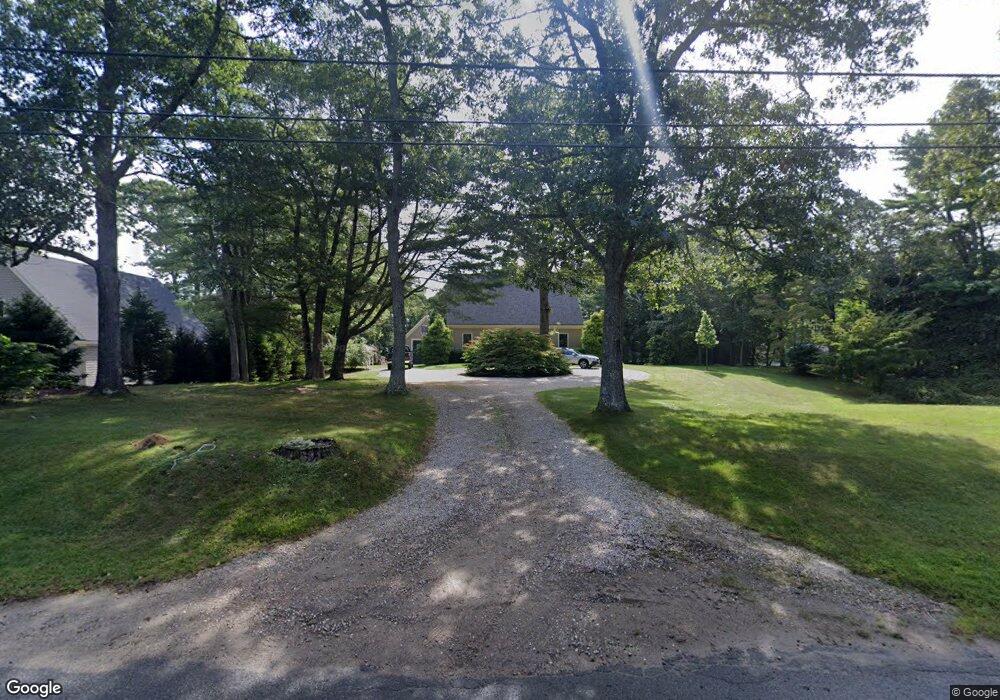
207 Scraggy Neck Rd Bourne, MA 2532
Cataumet NeighborhoodEstimated Value: $1,012,000 - $2,120,000
3
Beds
3
Baths
3,290
Sq Ft
$443/Sq Ft
Est. Value
About This Home
This home is located at 207 Scraggy Neck Rd, Bourne, MA 2532 and is currently estimated at $1,459,000, approximately $443 per square foot. 207 Scraggy Neck Rd is a home located in Barnstable County with nearby schools including Bourne High School and Heritage Christian Academy.
Create a Home Valuation Report for This Property
The Home Valuation Report is an in-depth analysis detailing your home's value as well as a comparison with similar homes in the area
Home Values in the Area
Average Home Value in this Area
Tax History Compared to Growth
Tax History
| Year | Tax Paid | Tax Assessment Tax Assessment Total Assessment is a certain percentage of the fair market value that is determined by local assessors to be the total taxable value of land and additions on the property. | Land | Improvement |
|---|---|---|---|---|
| 2025 | $8,799 | $1,126,600 | $570,000 | $556,600 |
| 2024 | $8,603 | $1,072,700 | $542,800 | $529,900 |
| 2023 | $8,406 | $954,100 | $480,400 | $473,700 |
| 2022 | $8,096 | $802,400 | $425,100 | $377,300 |
| 2021 | $7,876 | $731,300 | $386,900 | $344,400 |
| 2020 | $7,549 | $702,900 | $383,200 | $319,700 |
| 2019 | $7,413 | $705,300 | $383,200 | $322,100 |
| 2018 | $7,125 | $676,000 | $365,000 | $311,000 |
| 2017 | $6,819 | $662,000 | $361,500 | $300,500 |
| 2016 | $6,660 | $655,500 | $361,500 | $294,000 |
| 2015 | $6,601 | $655,500 | $361,500 | $294,000 |
Source: Public Records
Map
Nearby Homes
- 211 Scraggy Neck Rd
- 201 Scraggy Neck Rd
- 201 Scraggy Neck Rd
- 526 Scraggy Neck Rd
- 166 Scraggy Neck Rd
- 213 Scraggy Neck Rd
- 212 Scraggy Neck Rd
- 206 Scraggy Neck Rd
- 195 Scraggy Neck Rd
- 215 Scraggy Neck Rd
- 219 Scraggy Neck Rd
- 200 Scraggy Neck Rd
- 217 Scraggy Neck Rd
- 219 & 221 Scraggy Neck Rd
- 221 Scraggy Neck Rd
- 189 Scraggy Neck Rd
- 188 Scraggy Neck Rd
- 189 Scraggy Neck Rd
- 8 Grasslands Ln
- 219-221 Scraggy Neck Rd