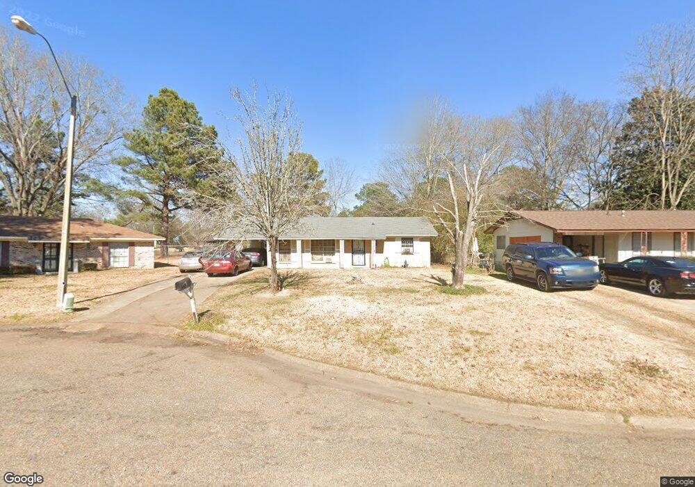
207 William McKinley Cir Jackson, MS 39213
North Jackson NeighborhoodEstimated Value: $72,000 - $93,000
3
Beds
1
Bath
1,139
Sq Ft
$70/Sq Ft
Est. Value
About This Home
This home is located at 207 William McKinley Cir, Jackson, MS 39213 and is currently estimated at $80,215, approximately $70 per square foot. 207 William McKinley Cir is a home located in Hinds County with nearby schools including John Hopkins Elementary School, Powell Middle School, and Provine High School.
Ownership History
Date
Name
Owned For
Owner Type
Purchase Details
Closed on
Nov 1, 2021
Sold by
Abernathy John
Bought by
Collins Luke
Current Estimated Value
Home Financials for this Owner
Home Financials are based on the most recent Mortgage that was taken out on this home.
Original Mortgage
$54,000
Outstanding Balance
$49,392
Interest Rate
3.01%
Mortgage Type
Purchase Money Mortgage
Estimated Equity
$30,823
Purchase Details
Closed on
Oct 5, 2010
Sold by
Imag Enterprises Llc
Bought by
Silverado Funding Llc
Create a Home Valuation Report for This Property
The Home Valuation Report is an in-depth analysis detailing your home's value as well as a comparison with similar homes in the area
Home Values in the Area
Average Home Value in this Area
Purchase History
| Date | Buyer | Sale Price | Title Company |
|---|---|---|---|
| Collins Luke | -- | None Available | |
| Silverado Funding Llc | -- | -- |
Source: Public Records
Mortgage History
| Date | Status | Borrower | Loan Amount |
|---|---|---|---|
| Open | Collins Luke | $54,000 |
Source: Public Records
Tax History
| Year | Tax Paid | Tax Assessment Tax Assessment Total Assessment is a certain percentage of the fair market value that is determined by local assessors to be the total taxable value of land and additions on the property. | Land | Improvement |
|---|---|---|---|---|
| 2025 | $1,016 | $5,282 | $2,250 | $3,032 |
| 2024 | $1,016 | $5,256 | $2,250 | $3,006 |
| 2023 | $1,016 | $5,256 | $2,250 | $3,006 |
| 2022 | $1,011 | $5,256 | $2,250 | $3,006 |
| 2021 | $1,011 | $5,256 | $2,250 | $3,006 |
| 2020 | $989 | $5,169 | $2,250 | $2,919 |
| 2019 | $990 | $5,169 | $2,250 | $2,919 |
| 2018 | $979 | $5,169 | $2,250 | $2,919 |
| 2017 | $1,237 | $5,169 | $2,250 | $2,919 |
| 2016 | $1,237 | $6,705 | $2,250 | $4,455 |
| 2015 | $1,181 | $6,597 | $2,250 | $4,347 |
| 2014 | $1,180 | $6,597 | $2,250 | $4,347 |
Source: Public Records
Map
Nearby Homes
- 225 William McKinley Cir
- 375 James Garfield Cir
- 6505 Van Buren Rd
- 6548 George Washington Dr
- 6603 Lyndon b Johnson Dr
- 3725 Thomas Jefferson Rd
- 6607 Franklin D Roosevelt Dr
- 6663 Abraham Lincoln Dr
- 110 Truman Place
- 3731 John F. Kennedy Blvd
- 3833 John F. Kennedy Blvd
- 0 Cottonwood Dr
- 3945 Country Club Dr
- 804 N Flag Chapel Rd
- 176 Green Forest Dr
- 0003 Southern Trace Blvd
- 667 Queen Cir
- 664 Queen Julianna Ln
- 663 Queen Julianna Ln
- 0 US 49 Unit 4132003
- 213 William McKinley Cir
- 201 William McKinley Cir
- 387 James Garfield Cir
- 219 William McKinley Cir
- 163 William McKinley Cir
- 254 James Garfield Cir
- 381 James Garfield Cir
- 157 William McKinley Cir
- 208 William McKinley Cir
- 6518 Van Buren Rd
- 248 James Garfield Cir
- 214 William McKinley Cir
- 151 William McKinley Cir
- 6522 Van Buren Rd
- 231 William McKinley Cir
- 369 James Garfield Cir
- 241 James Garfield Cir
- 156 William McKinley Cir
- 240 James Garfield Cir
- 6514 Van Buren Rd
Your Personal Tour Guide
Ask me questions while you tour the home.