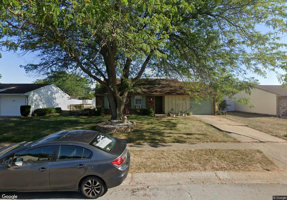
2070 Arapaho Dr Circleville, OH 43113
Estimated Value: $229,000 - $250,000
3
Beds
1
Bath
1,092
Sq Ft
$220/Sq Ft
Est. Value
About This Home
This home is located at 2070 Arapaho Dr, Circleville, OH 43113 and is currently estimated at $240,476, approximately $220 per square foot. 2070 Arapaho Dr is a home located in Pickaway County with nearby schools including Logan Elm High School and Crossroads Christian Academy.
Ownership History
Date
Name
Owned For
Owner Type
Purchase Details
Closed on
Dec 8, 2018
Sold by
Fenimore Sabrina D
Bought by
Fenimore Jason A
Current Estimated Value
Purchase Details
Closed on
May 7, 2018
Sold by
Oberley Denise C and Neal Tyler
Bought by
Fenimore Jason and Fenimore Sabrina
Home Financials for this Owner
Home Financials are based on the most recent Mortgage that was taken out on this home.
Original Mortgage
$90,000
Outstanding Balance
$76,654
Interest Rate
4.4%
Mortgage Type
New Conventional
Estimated Equity
$163,822
Purchase Details
Closed on
Jun 21, 2006
Sold by
Oberley Denise C
Bought by
Oberley Denise C and Oberley Brandy M
Home Financials for this Owner
Home Financials are based on the most recent Mortgage that was taken out on this home.
Original Mortgage
$91,500
Interest Rate
6.3%
Mortgage Type
Purchase Money Mortgage
Purchase Details
Closed on
Feb 1, 1987
Create a Home Valuation Report for This Property
The Home Valuation Report is an in-depth analysis detailing your home's value as well as a comparison with similar homes in the area
Home Values in the Area
Average Home Value in this Area
Purchase History
| Date | Buyer | Sale Price | Title Company |
|---|---|---|---|
| Fenimore Jason A | -- | None Available | |
| Fenimore Jason | -- | Timios Inc | |
| Oberley Denise C | -- | Clt | |
| -- | $46,500 | -- |
Source: Public Records
Mortgage History
| Date | Status | Borrower | Loan Amount |
|---|---|---|---|
| Open | Fenimore Jason | $90,000 | |
| Previous Owner | Oberley Denise C | $91,500 |
Source: Public Records
Tax History
| Year | Tax Paid | Tax Assessment Tax Assessment Total Assessment is a certain percentage of the fair market value that is determined by local assessors to be the total taxable value of land and additions on the property. | Land | Improvement |
|---|---|---|---|---|
| 2025 | $3,597 | $58,080 | $10,990 | $47,090 |
| 2024 | $3,597 | $58,080 | $10,990 | $47,090 |
| 2023 | $1,945 | $58,080 | $10,990 | $47,090 |
| 2022 | $1,555 | $43,160 | $9,120 | $34,040 |
| 2021 | $1,594 | $43,160 | $9,120 | $34,040 |
| 2020 | $1,614 | $43,160 | $9,120 | $34,040 |
| 2019 | $1,240 | $36,380 | $9,120 | $27,260 |
| 2018 | $1,451 | $36,380 | $9,120 | $27,260 |
| 2017 | $1,194 | $36,380 | $9,120 | $27,260 |
| 2016 | $1,093 | $33,480 | $9,120 | $24,360 |
| 2015 | $1,097 | $33,480 | $9,120 | $24,360 |
| 2014 | $1,099 | $33,480 | $9,120 | $24,360 |
| 2013 | $8,023 | $33,480 | $9,120 | $24,360 |
Source: Public Records
Map
Nearby Homes
- 1935 Arapaho Dr
- 2519 Jefferson Ave
- 25460 Us Highway 23 S
- 339 Walnut St
- 348 Walnut St
- 1002 S Court St
- 837 Clinton St
- 209 Huston St
- 575 Renick Ave
- 321 S Pickaway St
- 531 E Franklin St
- 446 E Franklin St
- 378 E Franklin St
- 551 E Main St
- 461 Watt St
- 405 Watt St
- 0 Ohio 56 Unit 226002334
- 125 N Pickaway St
- 430 Ruth Ave
- 416 Stella Ave
- 2080 Arapaho Dr
- 2060 Arapaho Dr
- 2005 Ottawa Dr
- 2090 Arapaho Dr
- 2065 Arapaho Dr
- 2000 Arapaho Dr
- 1990 Arapaho Dr
- 2015 Ottawa Dr
- 1995 Ottawa Dr
- 2055 Arapaho Dr
- 2100 Arapaho Dr
- 1980 Arapaho Dr
- 2095 Ute Dr
- 2115 Ute Dr
- 2045 Arapaho Dr
- 2025 Ottawa Dr
- 1970 Arapaho Dr
- 1985 Ottawa Dr
- 2110 Arapaho Dr
- 2110 Ute Dr
Your Personal Tour Guide
Ask me questions while you tour the home.