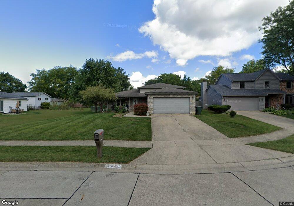
2070 Decker Ct Columbus, OH 43235
Brookside Colony NeighborhoodEstimated Value: $273,000 - $378,000
3
Beds
2
Baths
1,572
Sq Ft
$216/Sq Ft
Est. Value
About This Home
This home is located at 2070 Decker Ct, Columbus, OH 43235 and is currently estimated at $339,893, approximately $216 per square foot. 2070 Decker Ct is a home located in Franklin County with nearby schools including Indian Run Elementary School, Ann Simpson Davis Middle School, and Dublin Scioto High School.
Ownership History
Date
Name
Owned For
Owner Type
Purchase Details
Closed on
Jun 28, 2000
Sold by
Huey Karin L and Huey Steven M
Bought by
Hamman Patrick J and Hamman Carol J
Current Estimated Value
Home Financials for this Owner
Home Financials are based on the most recent Mortgage that was taken out on this home.
Original Mortgage
$132,925
Outstanding Balance
$46,248
Interest Rate
8.66%
Mortgage Type
FHA
Estimated Equity
$293,645
Purchase Details
Closed on
Oct 21, 1996
Sold by
Fisher George L
Bought by
Huey Karin L and Huey Steven M
Home Financials for this Owner
Home Financials are based on the most recent Mortgage that was taken out on this home.
Original Mortgage
$110,021
Interest Rate
8.44%
Mortgage Type
FHA
Purchase Details
Closed on
Mar 1, 1986
Purchase Details
Closed on
Jan 1, 1984
Create a Home Valuation Report for This Property
The Home Valuation Report is an in-depth analysis detailing your home's value as well as a comparison with similar homes in the area
Home Values in the Area
Average Home Value in this Area
Purchase History
| Date | Buyer | Sale Price | Title Company |
|---|---|---|---|
| Hamman Patrick J | $133,000 | Chicago Title | |
| Huey Karin L | $110,900 | -- | |
| -- | $73,000 | -- | |
| -- | $71,500 | -- |
Source: Public Records
Mortgage History
| Date | Status | Borrower | Loan Amount |
|---|---|---|---|
| Open | Hamman Patrick J | $132,925 | |
| Closed | Huey Karin L | $110,021 |
Source: Public Records
Tax History
| Year | Tax Paid | Tax Assessment Tax Assessment Total Assessment is a certain percentage of the fair market value that is determined by local assessors to be the total taxable value of land and additions on the property. | Land | Improvement |
|---|---|---|---|---|
| 2025 | $4,878 | $90,450 | $33,570 | $56,880 |
| 2024 | $4,878 | $90,450 | $33,570 | $56,880 |
| 2023 | $4,847 | $90,440 | $33,565 | $56,875 |
| 2022 | $3,845 | $68,680 | $18,520 | $50,160 |
| 2021 | $3,908 | $68,680 | $18,520 | $50,160 |
| 2020 | $3,884 | $68,680 | $18,520 | $50,160 |
| 2019 | $3,527 | $56,920 | $15,440 | $41,480 |
| 2018 | $3,230 | $56,920 | $15,440 | $41,480 |
| 2017 | $3,256 | $56,920 | $15,440 | $41,480 |
| 2016 | $2,901 | $49,070 | $13,720 | $35,350 |
| 2015 | $2,920 | $49,070 | $13,720 | $35,350 |
| 2014 | $2,922 | $49,070 | $13,720 | $35,350 |
| 2013 | $1,483 | $49,070 | $13,720 | $35,350 |
Source: Public Records
Map
Nearby Homes
- 2062 Decker Ct
- 6924 Spruce Pine Dr
- 7155 Asheville Park Dr
- 2001 Sawbury Blvd Unit 2001
- 2506 Timberside Dr Unit 2506
- 2481 Timbers Edge Ln Unit 2481
- 2487 Timbers Edge Ln Unit 2487
- 6829 Merwood St
- 2026 Sawbury Blvd
- 2024 Sawbury Blvd
- 6637 Merwin Rd
- 2279 Fernleaf Ln
- 2546 Timberside Dr Unit 2546
- 6789 Meadow Creek Dr Unit 101
- 2425 Sanford Dr
- 7641 Old Foxe Ct
- 6729 Meadow Creek Dr Unit 208
- 2074 Hard Rd
- 2469 Sandstrom Dr
- 6705 Meadow Creek Dr Unit 206
- 6810 Maybrook St
- 6818 Maybrook St
- 2071 Clayborn Ct
- 2063 Clayborn Ct
- 2054 Decker Ct
- 2079 Clayborn Ct
- 2065 Decker Ct
- 6790 Maybrook St
- 2055 Clayborn Ct
- 2049 Decker Ct
- 2057 Decker Ct
- 6807 Maybrook St
- 6809 Pine Bark Ln
- 2047 Clayborn Ct
- 6815 Pine Bark Ln
- 6823 Pine Bark Ln
- 2072 Clayborn Ct
- 6823 Maybrook St
- 2080 Clayborn Ct
- 6803 Pine Bark Ln
Your Personal Tour Guide
Ask me questions while you tour the home.