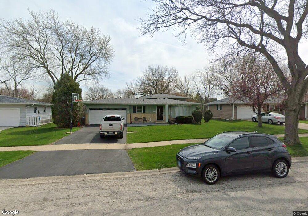
2070 Richard St Unit 1 Aurora, IL 60506
Edgelawn Randall NeighborhoodEstimated Value: $319,000 - $360,000
3
Beds
3
Baths
1,958
Sq Ft
$175/Sq Ft
Est. Value
About This Home
This home is located at 2070 Richard St Unit 1, Aurora, IL 60506 and is currently estimated at $341,789, approximately $174 per square foot. 2070 Richard St Unit 1 is a home located in Kane County with nearby schools including Hall Elementary School, Jefferson Middle School, and West Aurora High School.
Ownership History
Date
Name
Owned For
Owner Type
Purchase Details
Closed on
Feb 11, 2022
Sold by
Franco Roberto E and Franco Maria E
Bought by
Franco Victor and Franco Rosa
Current Estimated Value
Purchase Details
Closed on
May 2, 2014
Sold by
Franco Roberto and Franco Maria E
Bought by
Franco Roberto and Franco Maria E
Purchase Details
Closed on
Dec 23, 2000
Sold by
Wright Rodney W and Wright Susan M
Bought by
Franco Roberto and Franco Maria E
Home Financials for this Owner
Home Financials are based on the most recent Mortgage that was taken out on this home.
Original Mortgage
$148,800
Interest Rate
7.03%
Mortgage Type
FHA
Create a Home Valuation Report for This Property
The Home Valuation Report is an in-depth analysis detailing your home's value as well as a comparison with similar homes in the area
Home Values in the Area
Average Home Value in this Area
Purchase History
We collect this data history from publicly available records. To have your information removed, we recommend requesting removal directly through your county’s website.
| Date | Buyer | Sale Price | Title Company |
|---|---|---|---|
| Franco Victor | -- | None Listed On Document | |
| Franco Roberto | -- | None Available | |
| Franco Roberto | $151,000 | Greater Illinois Title Compa |
Source: Public Records
Mortgage History
We collect this data history from publicly available records. To have your information removed, we recommend requesting removal directly through your county’s website.
| Date | Status | Borrower | Loan Amount |
|---|---|---|---|
| Previous Owner | Franco Roberto | $148,800 |
Source: Public Records
Tax History
| Year | Tax Paid | Tax Assessment Tax Assessment Total Assessment is a certain percentage of the fair market value that is determined by local assessors to be the total taxable value of land and additions on the property. | Land | Improvement |
|---|---|---|---|---|
| 2024 | $6,860 | $94,632 | $15,912 | $78,720 |
| 2023 | $6,557 | $84,553 | $14,217 | $70,336 |
| 2022 | $6,829 | $77,147 | $12,972 | $64,175 |
| 2021 | $6,239 | $68,290 | $12,077 | $56,213 |
| 2020 | $5,938 | $63,431 | $11,218 | $52,213 |
| 2019 | $6,255 | $63,969 | $10,394 | $53,575 |
| 2018 | $5,818 | $58,276 | $9,614 | $48,662 |
| 2017 | $6,012 | $58,412 | $8,858 | $49,554 |
| 2016 | $5,325 | $50,128 | $7,593 | $42,535 |
| 2015 | -- | $42,478 | $6,529 | $35,949 |
| 2014 | -- | $40,853 | $6,279 | $34,574 |
| 2013 | -- | $40,272 | $6,190 | $34,082 |
Source: Public Records
Map
Nearby Homes
- 1920 Richard St
- 1910 Richard St
- 1108 Almond Dr
- 2181 W Illinois Ave
- 2400 Marigold Ct
- 1911 Sapphire Ln
- 960 Sapphire Ln
- 976 Sapphire Ln
- 910 Greenfield Dr
- 991 Sapphire Ln
- 975 Sapphire Ln
- 987 Sapphire Ln
- 1911 Ash Ct
- 1295 Foxcroft Dr
- 1335 Foxcroft Dr
- 2426 Courtyard Cir Unit 5
- 1610 Heather Dr
- 1106 Village Center Pkwy Unit 3
- 348 S Constitution Dr
- 2426 Wild Cherry Ct
- 2060 Richard St
- 2074 Richard St
- 2069 Robert St Unit 1
- 2059 Robert St Unit 1
- 2076 Richard St
- 960 Laurel Dr
- 2069 Richard St
- 2065 Richard St Unit 2
- 950 Laurel Dr Unit 1
- 2073 Richard St
- 2078 Richard St
- 2055 Richard St Unit 2
- 2075 Richard St
- 2041 Richard St
- 2080 Richard St
- 961 Laurel Dr
- 2079 Richard St
- 2064 Coral Ave
- 2070 Robert St
- 2060 Coral Ave
Your Personal Tour Guide
Ask me questions while you tour the home.