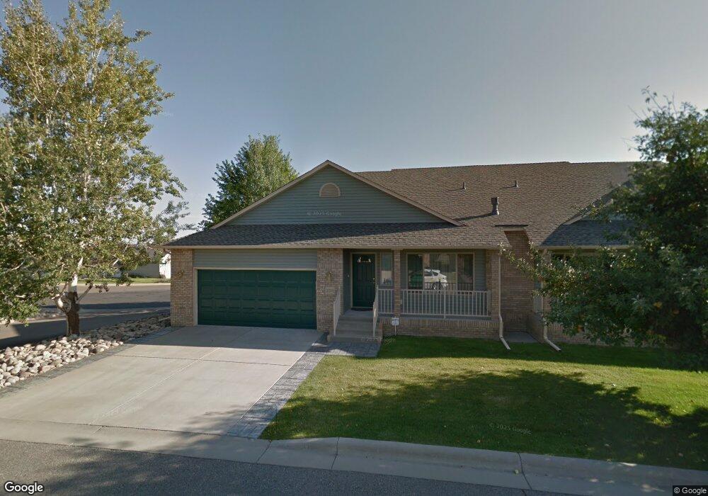
2070 Swanson Ln Billings, MT 59102
North Central Billings NeighborhoodEstimated Value: $333,000 - $398,000
4
Beds
3
Baths
1,240
Sq Ft
$301/Sq Ft
Est. Value
About This Home
This home is located at 2070 Swanson Ln, Billings, MT 59102 and is currently estimated at $372,703, approximately $300 per square foot. 2070 Swanson Ln is a home located in Yellowstone County with nearby schools including Arrowhead School, Ben Steele Middle School, and Billings West High School.
Ownership History
Date
Name
Owned For
Owner Type
Purchase Details
Closed on
Apr 19, 2024
Sold by
Jensen Virginia G and Jensen Corey
Bought by
Eric S Varney Trust and Varney
Current Estimated Value
Purchase Details
Closed on
Jun 13, 2023
Sold by
Thompson Sharon
Bought by
Beverly Annette Guyer Living Trust and Guyer
Purchase Details
Closed on
Mar 10, 2022
Sold by
Dugger Trent M
Bought by
Makowski Daniel and Makowski Barbara B
Purchase Details
Closed on
Feb 5, 2013
Sold by
Donohoe Rae M
Bought by
Donohoe Rae M
Purchase Details
Closed on
Dec 9, 2009
Sold by
Donohoe Paul S and Donohoe Rae M
Bought by
Donohoe Paul S and Donohoe Rae M
Purchase Details
Closed on
Jan 19, 2007
Sold by
Syverson Joyce A
Bought by
Donohoe Paul S and Donohoe Rae M
Create a Home Valuation Report for This Property
The Home Valuation Report is an in-depth analysis detailing your home's value as well as a comparison with similar homes in the area
Home Values in the Area
Average Home Value in this Area
Purchase History
| Date | Buyer | Sale Price | Title Company |
|---|---|---|---|
| Eric S Varney Trust | -- | First Montana Title | |
| Beverly Annette Guyer Living Trust | -- | Stewart Title Company | |
| Makowski Daniel | -- | Chicago Title | |
| Donohoe Rae M | -- | None Available | |
| Donohoe Paul S | -- | None Available | |
| Donohoe Paul S | -- | None Available |
Source: Public Records
Tax History Compared to Growth
Tax History
| Year | Tax Paid | Tax Assessment Tax Assessment Total Assessment is a certain percentage of the fair market value that is determined by local assessors to be the total taxable value of land and additions on the property. | Land | Improvement |
|---|---|---|---|---|
| 2025 | $3,443 | $404,000 | $50,803 | $353,197 |
| 2024 | $3,443 | $350,800 | $34,390 | $316,410 |
| 2023 | $3,421 | $350,800 | $34,390 | $316,410 |
| 2022 | $2,994 | $268,400 | $0 | $0 |
| 2021 | $2,833 | $268,400 | $0 | $0 |
| 2020 | $2,767 | $244,600 | $0 | $0 |
| 2019 | $2,643 | $244,600 | $0 | $0 |
| 2018 | $2,575 | $233,600 | $0 | $0 |
| 2017 | $2,499 | $233,600 | $0 | $0 |
| 2016 | $2,267 | $211,300 | $0 | $0 |
| 2015 | $2,191 | $211,300 | $0 | $0 |
| 2014 | $2,203 | $113,791 | $0 | $0 |
Source: Public Records
Map
Nearby Homes
- 2020 Swanson Ln
- 2213 Westfield Dr
- 2301 Elsa Dr
- 3865 Avenue C
- 3720 Parkhill Dr
- 1818 Tiburon Ln
- 4044 Backwoods Dr
- 1747 Tiburon Ln
- 4342 Rangeview Dr
- 1713 Tiburon Ln
- 3743 Hayden Dr
- 2280 Ridgewood Ln S
- 3928 Audubon Way
- TBD Rimrock Rd
- 3654 Donna Dr
- 3935 Pine Cove Rd
- 3210 40th St W
- 2238 Pine Creek Trail
- 4204 Pine Cove Rd
- 5073 Audubon Way
- 2072 Swanson Ln
- 2028 Swanson Ln
- 2086 Swanson Ln
- 2026 Swanson Ln
- 3959 Fairmeadow Dr
- 2088 Swanson Ln
- 2074 Swanson Ln
- 2084 Swanson Ln
- 2082 Swanson Ln
- 2076 Swanson Ln
- 2032 Swanson Ln
- 2080 Swanson Ln
- 2030 Swanson Ln
- 2078 Swanson Ln
- 2012 Swanson Ln
- 2010 Swanson Ln
- 2061 Swanson Ln
- 2014 Swanson Ln
- 2016 Swanson Ln
- 2018 Swanson Ln