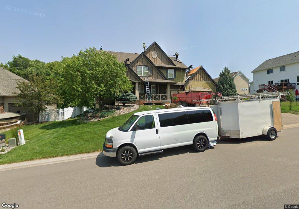
2071 Halli Rd Shakopee, MN 55379
Estimated Value: $583,000 - $699,000
4
Beds
3
Baths
2,714
Sq Ft
$233/Sq Ft
Est. Value
About This Home
This home is located at 2071 Halli Rd, Shakopee, MN 55379 and is currently estimated at $631,558, approximately $232 per square foot. 2071 Halli Rd is a home located in Scott County with nearby schools including Jackson Elementary School, East Middle School, and Shakopee Senior High School.
Ownership History
Date
Name
Owned For
Owner Type
Purchase Details
Closed on
Feb 27, 2006
Sold by
Associated Capital Corp
Bought by
Mcdonald Construction Inc
Current Estimated Value
Create a Home Valuation Report for This Property
The Home Valuation Report is an in-depth analysis detailing your home's value as well as a comparison with similar homes in the area
Home Values in the Area
Average Home Value in this Area
Purchase History
| Date | Buyer | Sale Price | Title Company |
|---|---|---|---|
| Mcdonald Construction Inc | $806,400 | -- |
Source: Public Records
Tax History Compared to Growth
Tax History
| Year | Tax Paid | Tax Assessment Tax Assessment Total Assessment is a certain percentage of the fair market value that is determined by local assessors to be the total taxable value of land and additions on the property. | Land | Improvement |
|---|---|---|---|---|
| 2025 | $6,160 | $568,100 | $167,600 | $400,500 |
| 2024 | $6,250 | $570,200 | $167,600 | $402,600 |
| 2023 | $6,370 | $569,800 | $172,600 | $397,200 |
| 2022 | $5,966 | $569,800 | $172,600 | $397,200 |
| 2021 | $5,104 | $468,400 | $137,700 | $330,700 |
| 2020 | $5,544 | $436,400 | $129,700 | $306,700 |
| 2019 | $5,332 | $415,300 | $108,700 | $306,600 |
| 2018 | $5,870 | $0 | $0 | $0 |
| 2016 | $5,886 | $0 | $0 | $0 |
| 2014 | -- | $0 | $0 | $0 |
Source: Public Records
Map
Nearby Homes
- 2052 Wilhelm Ct
- 1022 Providence Dr
- 668 Cobblestone Way
- 1284 Meadow Ln S
- 1590 Countryside Dr Unit 5108
- 1820 Mockingbird Ave
- 1844 Mockingbird Ave Unit 1102
- 849 Providence Dr
- 826 Princeton Ave
- 1562 Liberty Cir Unit 2403
- 2148 Mcgregor Ln
- 1573 Creekside Ln
- 2518 Green Ash Ave
- 2529 Green Ash Ave
- Berkley Plan at Arbor Bluff - Venture Collection
- 2551 Aspen Ct
- Clark Plan at Arbor Bluff - Venture Collection
- 2548 Aspen Ct
- Itasca Plan at Arbor Bluff - Landmark Collection
- Sequoia Plan at Arbor Bluff - Venture Collection
- 2063 Halli Rd
- XXX Knoll Dr
- 1359 Knoll Dr
- 1367 Knoll Dr
- 2053 Valley Creek Ln
- 2055 Halli Rd
- 1375 Knoll Dr
- 1343 Knoll Dr
- 2097 Knoll Dr
- 2057 Valley Creek Ln
- 1383 Knoll Dr
- 1335 Knoll Dr
- 2050 Valley Creek Ln
- 2103 Halli Rd
- 2004 Evergreen Ln
- 2047 Halli Rd
- 2097 2097 Knoll-Drive-
- 2097 2097 Knoll Dr
- 2100 Halli Rd
- 2054 Valley Creek Ln