2071 Sprucefield Rd Columbus, OH 43229
Northgate NeighborhoodEstimated Value: $161,000 - $184,000
3
Beds
2
Baths
1,320
Sq Ft
$133/Sq Ft
Est. Value
About This Home
This home is located at 2071 Sprucefield Rd, Columbus, OH 43229 and is currently estimated at $175,988, approximately $133 per square foot. 2071 Sprucefield Rd is a home located in Franklin County with nearby schools including Northgate Intermediate, Alpine Elementary School, and Woodward Park Middle School.
Ownership History
Date
Name
Owned For
Owner Type
Purchase Details
Closed on
Jan 9, 2025
Sold by
Ahmed Said
Bought by
Saif Properties One Llc
Current Estimated Value
Purchase Details
Closed on
Oct 23, 2017
Sold by
Tavaniello David N and Sprucefield Court Townhomes
Bought by
The Court Of Common Pleas Franklin
Purchase Details
Closed on
Dec 27, 2010
Sold by
Estate Of Martha R Tavaniello
Bought by
Tavaniello David N
Purchase Details
Closed on
May 31, 1991
Bought by
Tavaniello David N
Purchase Details
Closed on
Aug 31, 1987
Create a Home Valuation Report for This Property
The Home Valuation Report is an in-depth analysis detailing your home's value as well as a comparison with similar homes in the area
Home Values in the Area
Average Home Value in this Area
Purchase History
| Date | Buyer | Sale Price | Title Company |
|---|---|---|---|
| Saif Properties One Llc | -- | None Listed On Document | |
| The Court Of Common Pleas Franklin | $60,000 | None Available | |
| Tavaniello David N | -- | None Available | |
| Tavaniello David N | $58,500 | -- | |
| -- | $52,700 | -- |
Source: Public Records
Tax History
| Year | Tax Paid | Tax Assessment Tax Assessment Total Assessment is a certain percentage of the fair market value that is determined by local assessors to be the total taxable value of land and additions on the property. | Land | Improvement |
|---|---|---|---|---|
| 2025 | $3,690 | $53,030 | $9,280 | $43,750 |
| 2024 | $3,690 | $53,030 | $9,280 | $43,750 |
| 2023 | $2,400 | $53,025 | $9,275 | $43,750 |
| 2022 | $1,712 | $21,460 | $2,630 | $18,830 |
| 2021 | $1,142 | $21,460 | $2,630 | $18,830 |
| 2020 | $1,144 | $21,460 | $2,630 | $18,830 |
| 2019 | $1,334 | $21,460 | $2,630 | $18,830 |
| 2018 | $666 | $21,460 | $2,630 | $18,830 |
| 2017 | $771 | $21,460 | $2,630 | $18,830 |
| 2016 | $772 | $20,410 | $2,240 | $18,170 |
| 2015 | $351 | $20,410 | $2,240 | $18,170 |
| 2014 | $703 | $20,410 | $2,240 | $18,170 |
| 2013 | $414 | $22,680 | $2,485 | $20,195 |
Source: Public Records
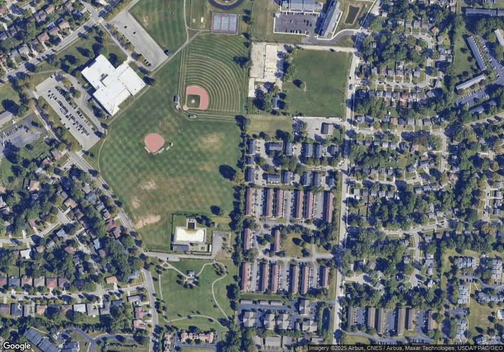
Map
Nearby Homes
- 6245 Sharon Woods Blvd
- 5885 Beechcroft Rd Unit 116
- 5885 Beechcroft Rd Unit 313
- 2197 Bayfield Dr
- 6048 Pinemoor St
- 2154-2156 Jewett Dr
- 2292 Laurelwood Dr Unit 2292L
- 2470 Carolina Ave Unit 66
- 1281 Home Acre Dr
- 5732 Beechcroft Rd Unit B
- 6142 Laurelwood Ct Unit 144
- 5726 Beechcroft Rd Unit J
- 1679 Peardale Rd N
- 5762 Pine Tree St W Unit D
- 2623 Blendon Woods Blvd
- 1947 Rockdale Dr Unit 33
- 6035 Karl Rd
- 5556 Parkshire Dr Unit 5556
- 6336 Archmere Square E
- 5491 Parkshire Dr Unit 5491
- 2073 Sprucefield Dr
- 2069 Sprucefield Rd
- 2073 Sprucefield Rd
- 2075 Sprucefield Rd Unit 2075
- 2059 Sprucefield Rd Unit 2059
- 2061 Sprucefield Rd Unit 2061
- 2079 Sprucefield Rd
- 2081 Sprucefield Rd Unit 2081
- 2068 Sprucefield Rd
- 2083 Sprucefield Rd
- 2070 Sprucefield Rd Unit 2070
- 2070 Sprucefield Dr
- 2085 Sprucefield Rd Unit 2085
- 2072 Sprucefield Rd Unit 2072
- 2074 Sprucefield Rd
- 2078 Sprucefield Rd Unit 2078
- 2093 Sprucefield Rd Unit 2093
- 2091 Sprucefield Rd
- 2089 Sprucefield Dr
- 2095 Sprucefield Dr
Your Personal Tour Guide
Ask me questions while you tour the home.