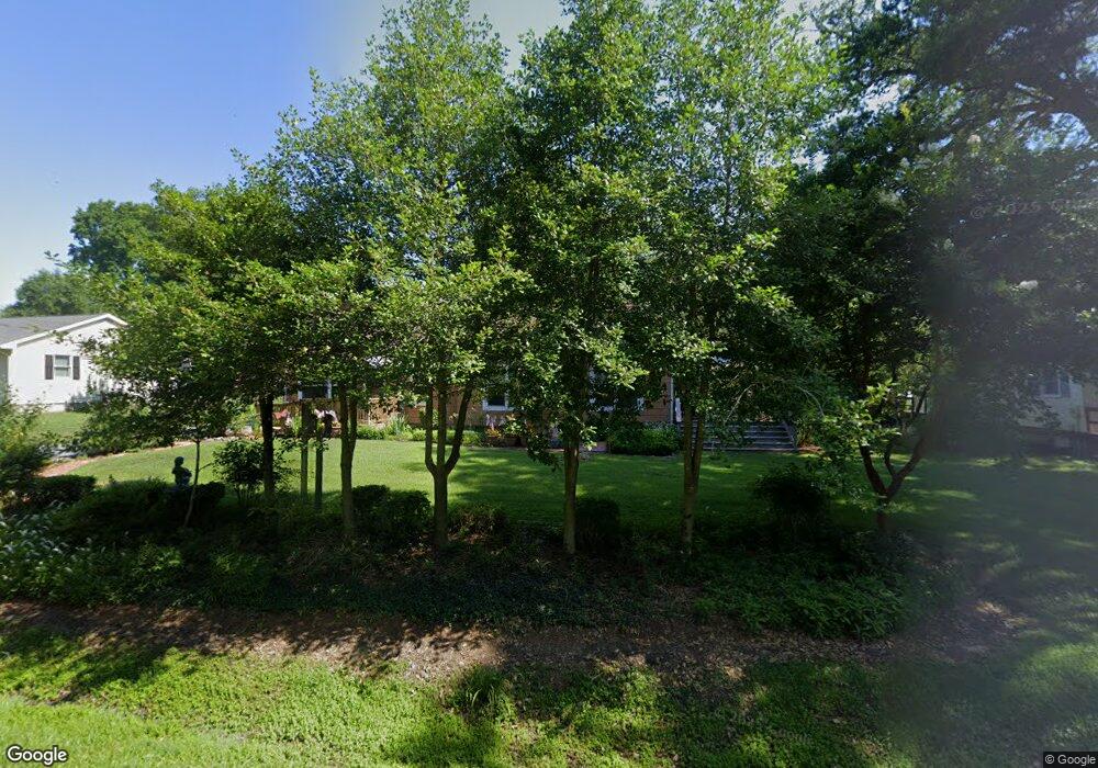
20714 Mercer Ave Rock Hall, MD 21661
Estimated Value: $285,535 - $373,000
--
Bed
1
Bath
1,486
Sq Ft
$224/Sq Ft
Est. Value
About This Home
This home is located at 20714 Mercer Ave, Rock Hall, MD 21661 and is currently estimated at $333,134, approximately $224 per square foot. 20714 Mercer Ave is a home located in Kent County with nearby schools including Center for Innovation, Kent County Middle School, and Kent County High School.
Ownership History
Date
Name
Owned For
Owner Type
Purchase Details
Closed on
Jan 16, 2009
Sold by
Schroeder Michael J and Schroeder Mary M
Bought by
Schroeder Michael J and Schroeder Mary M
Current Estimated Value
Purchase Details
Closed on
Jan 6, 2009
Sold by
Schroeder Michael J and Schroeder Mary M
Bought by
Schroeder Michael J and Schroeder Mary M
Purchase Details
Closed on
Nov 25, 1981
Sold by
Bringer Robert K and Bringer Doris
Bought by
Schroeder Michael J and Schroeder Mary M
Create a Home Valuation Report for This Property
The Home Valuation Report is an in-depth analysis detailing your home's value as well as a comparison with similar homes in the area
Home Values in the Area
Average Home Value in this Area
Purchase History
| Date | Buyer | Sale Price | Title Company |
|---|---|---|---|
| Schroeder Michael J | -- | -- | |
| Schroeder Michael J | -- | -- | |
| Schroeder Michael J | $100 | -- |
Source: Public Records
Tax History Compared to Growth
Tax History
| Year | Tax Paid | Tax Assessment Tax Assessment Total Assessment is a certain percentage of the fair market value that is determined by local assessors to be the total taxable value of land and additions on the property. | Land | Improvement |
|---|---|---|---|---|
| 2025 | $2,864 | $201,167 | $0 | $0 |
| 2024 | $2,704 | $177,400 | $82,400 | $95,000 |
| 2023 | $2,628 | $176,067 | $0 | $0 |
| 2022 | $2,628 | $174,733 | $0 | $0 |
| 2021 | $2,551 | $173,400 | $82,400 | $91,000 |
| 2020 | $2,551 | $173,033 | $0 | $0 |
| 2019 | $2,385 | $172,667 | $0 | $0 |
| 2018 | $2,385 | $172,300 | $82,400 | $89,900 |
| 2017 | $2,240 | $154,067 | $0 | $0 |
| 2016 | -- | $135,833 | $0 | $0 |
| 2015 | -- | $117,600 | $0 | $0 |
| 2014 | $1,838 | $117,600 | $0 | $0 |
Source: Public Records
Map
Nearby Homes
- 5750 Walnut St
- 5697 Walnut St
- 5980 Lawton Ave
- 6119 New St Unit 2
- #2 Lawton Ave
- 5791 S Hawthorne Ave
- 21090 W Sharp St Unit 133
- 21090 W Sharp St Unit 112
- 21119 Striper Run
- 21131 Striper Run
- 21133 Striper Run
- 21163 Chesapeake Ave
- 21139 Striper Run
- 21141 Striper Run
- 5829 N Main St
- 21305 Haven Rd
- 5686 S Main St
- 5898 Williams St
- 21332 E Sharp St
- 21336 Haven Rd
- 20726 Mercer Ave
- 20708 Mercer Ave
- 20705 Wilkins Ave
- 5830 Locust St
- 20702 Bayside Ave
- 20723 Mercer Ave
- 20698 Mercer Ave
- 0 Mercer Ave
- 20725 Wilkins Ave
- 20709 Wilkins Ave
- 20742 Mercer Ave
- 20694 Mercer Ave
- 20753 Mercer Ave
- 5825 Locust St
- 20718 Bayside Ave
- 0 Wilkins Ave Unit P310 MDKE2005572
- 0 Wilkins Ave Unit P733 MDKE2005570
- 0 Wilkins Ave Unit MDKE2003986
- 0 Wilkins Ave Unit MDKE2002700
- 0 Wilkins Ave Unit MDKE2002464