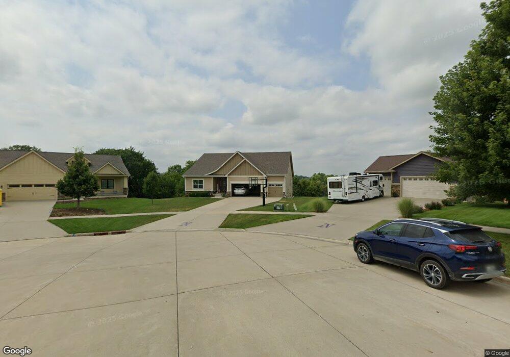
2072 Dorchester Cir Norwalk, IA 50211
Estimated Value: $588,000 - $610,000
5
Beds
6
Baths
2,454
Sq Ft
$244/Sq Ft
Est. Value
About This Home
This home is located at 2072 Dorchester Cir, Norwalk, IA 50211 and is currently estimated at $598,972, approximately $244 per square foot. 2072 Dorchester Cir is a home located in Warren County with nearby schools including Oviatt Elementary School, Orchard Hills Elementary School, and Lakewood Elementary School.
Ownership History
Date
Name
Owned For
Owner Type
Purchase Details
Closed on
Feb 11, 2015
Sold by
Hubbell Homes Llc
Bought by
Patterson Paul J and Patterson Kristin M
Current Estimated Value
Home Financials for this Owner
Home Financials are based on the most recent Mortgage that was taken out on this home.
Original Mortgage
$371,920
Outstanding Balance
$285,806
Interest Rate
3.85%
Mortgage Type
New Conventional
Estimated Equity
$313,166
Purchase Details
Closed on
Oct 4, 2013
Sold by
H Cm Llc
Bought by
Hubbell Homes L C
Home Financials for this Owner
Home Financials are based on the most recent Mortgage that was taken out on this home.
Original Mortgage
$425,000
Interest Rate
4.5%
Mortgage Type
Construction
Create a Home Valuation Report for This Property
The Home Valuation Report is an in-depth analysis detailing your home's value as well as a comparison with similar homes in the area
Home Values in the Area
Average Home Value in this Area
Purchase History
| Date | Buyer | Sale Price | Title Company |
|---|---|---|---|
| Patterson Paul J | $464,375 | None Available | |
| Hubbell Homes L C | $105,000 | None Available |
Source: Public Records
Mortgage History
| Date | Status | Borrower | Loan Amount |
|---|---|---|---|
| Open | Patterson Paul J | $371,920 | |
| Closed | Patterson Paul J | $23,245 | |
| Previous Owner | Hubbell Homes L C | $425,000 |
Source: Public Records
Tax History Compared to Growth
Tax History
| Year | Tax Paid | Tax Assessment Tax Assessment Total Assessment is a certain percentage of the fair market value that is determined by local assessors to be the total taxable value of land and additions on the property. | Land | Improvement |
|---|---|---|---|---|
| 2024 | $10,174 | $551,000 | $103,700 | $447,300 |
| 2023 | $10,662 | $551,000 | $103,700 | $447,300 |
| 2022 | $10,628 | $485,600 | $103,700 | $381,900 |
| 2021 | $11,302 | $485,600 | $103,700 | $381,900 |
| 2020 | $11,302 | $486,400 | $100,000 | $386,400 |
| 2019 | $9,022 | $486,400 | $100,000 | $386,400 |
| 2018 | $8,742 | $382,600 | $0 | $0 |
| 2017 | $8,742 | $382,600 | $0 | $0 |
| 2016 | $9,020 | $384,100 | $0 | $0 |
| 2015 | $9,020 | $384,100 | $0 | $0 |
| 2014 | $4 | $200 | $0 | $0 |
Source: Public Records
Map
Nearby Homes
- 1921 Wethersfield Dr
- 1808 Dorchester St
- 312 W High Rd
- 1725 Holly Dr
- 510 Turnberry Dr
- 312 Emmett Ct
- 1321 Meadow Dr
- 2818 Prairieside Place
- 620 Nantucket Place
- 801 Oakmont Place
- 2640 Lexington Dr
- 1111 Skylane Dr
- 709 Plainside Ave
- 2920 Prairieside Place
- 2664 Park Place
- Whitfield Townhome Plan at Shadow Creek Estates
- Hickory Townhome Plan at Shadow Creek Estates
- 2860 Lexington Dr
- 1000 Gordon Ave
- 932 Sawgrass Dr
- 2072 Dorchester Cir
- 2071 Dorchester Cir
- 2071 Dorchester Cir
- 2066 Dorchester Cir
- 2060 Dorchester Cir
- 2065 Dorchester Cir
- 2065 Dorchester Cir
- 2060 Dorchester Cir
- 2058 Dorchester Cir
- 2058 Dorchester Cir
- 2054 Dorchester St
- 102 Balfour Dr
- 106 Balfour Dr
- 2042 Wethersfield Dr
- 2048 Dorchester St
- 112 Balfour Dr
- 2048 Wethersfield Dr
- 2036 Wethersfield Dr
- 2041 Dorchester St
- 118 Balfour Dr