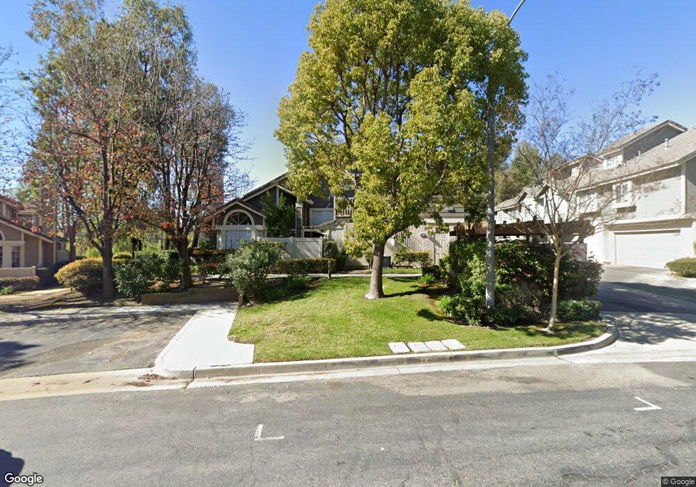
20721 E Crest Ln Unit D Walnut, CA 91789
Estimated Value: $559,053 - $590,000
2
Beds
2
Baths
912
Sq Ft
$634/Sq Ft
Est. Value
About This Home
This home is located at 20721 E Crest Ln Unit D, Walnut, CA 91789 and is currently estimated at $577,763, approximately $633 per square foot. 20721 E Crest Ln Unit D is a home located in Los Angeles County with nearby schools including Castle Rock Elementary School, South Pointe Middle School, and Diamond Bar High School.
Ownership History
Date
Name
Owned For
Owner Type
Purchase Details
Closed on
Feb 6, 2023
Sold by
Cho Hyun Sook
Bought by
Cho Hyun Sook and Hyun Sook Cho Living Trust
Current Estimated Value
Purchase Details
Closed on
Dec 16, 2005
Sold by
Cho Hyun S
Bought by
Cho Jong Soo
Home Financials for this Owner
Home Financials are based on the most recent Mortgage that was taken out on this home.
Original Mortgage
$188,000
Interest Rate
6.35%
Mortgage Type
New Conventional
Purchase Details
Closed on
Jan 14, 2002
Sold by
Harris Judy A and Judy A Harris Living Trust
Bought by
Cho Jong Soo and Cho Hyun S
Home Financials for this Owner
Home Financials are based on the most recent Mortgage that was taken out on this home.
Original Mortgage
$192,850
Interest Rate
5.87%
Purchase Details
Closed on
Mar 10, 1997
Sold by
Harris Judith A
Bought by
Harris Judy A and Judy A Harris Living Trust
Create a Home Valuation Report for This Property
The Home Valuation Report is an in-depth analysis detailing your home's value as well as a comparison with similar homes in the area
Home Values in the Area
Average Home Value in this Area
Purchase History
| Date | Buyer | Sale Price | Title Company |
|---|---|---|---|
| Cho Hyun Sook | -- | -- | |
| Cho Jong Soo | -- | North American Title Company | |
| Cho Jong Soo | $203,000 | First American Title Co | |
| Harris Judy A | -- | -- |
Source: Public Records
Mortgage History
| Date | Status | Borrower | Loan Amount |
|---|---|---|---|
| Previous Owner | Cho Jong Soo | $188,000 | |
| Previous Owner | Cho Jong Soo | $192,850 |
Source: Public Records
Tax History
| Year | Tax Paid | Tax Assessment Tax Assessment Total Assessment is a certain percentage of the fair market value that is determined by local assessors to be the total taxable value of land and additions on the property. | Land | Improvement |
|---|---|---|---|---|
| 2025 | $4,331 | $299,869 | $157,615 | $142,254 |
| 2024 | $4,331 | $293,990 | $154,525 | $139,465 |
| 2023 | $4,227 | $288,227 | $151,496 | $136,731 |
| 2022 | $4,132 | $282,576 | $148,526 | $134,050 |
| 2021 | $4,048 | $277,036 | $145,614 | $131,422 |
| 2019 | $3,673 | $268,821 | $141,296 | $127,525 |
| 2018 | $3,545 | $263,551 | $138,526 | $125,025 |
| 2016 | $3,305 | $253,319 | $133,148 | $120,171 |
| 2015 | $3,321 | $249,514 | $131,148 | $118,366 |
| 2014 | $3,327 | $244,627 | $128,579 | $116,048 |
Source: Public Records
Map
Nearby Homes
- 2601 S Quarry Ln Unit D
- 2614 S Quarry Ln Unit A
- 2634 S Quarry Ln Unit A
- 20741 E Crest Ln Unit B
- 20814 E Boulder Ln
- 2702 S George Ln
- 20374 Bickford Dr
- 20548 Missionary Ridge St
- 20573 Missionary Ridge St
- 20505 Missionary Ridge St
- 21030 Riego Dr
- 1833 Walnut Leaf Dr
- 20232 Evening Breeze Dr
- 20885 Starshine Rd
- 20899 Starshine Rd
- 1865 Shaded Wood Rd
- 20608 Shepherd Hills Dr
- 20629 Shepherd Hills Dr
- 20111 Evening Breeze Dr
- 2147 Wind River Ln
- 20721 E Crest Ln Unit C
- 20715 E Crest Ln Unit C
- 20715 E Crest Ln Unit B
- 20715 E Crest Ln Unit A
- 20721 E Crest Ln Unit C
- 20721 E Crest Ln Unit B
- 20721 E Crest Ln Unit A
- 20725 E Crest Ln Unit C
- 20725 E Crest Ln Unit B
- 20725 E Crest Ln Unit A
- 20731 E Crest Ln Unit D
- 20731 E Crest Ln Unit C
- 20731 E Crest Ln Unit B
- 20731 E Crest Ln Unit A
- 20735 E Crest Ln Unit D
- 20701 E Crest Ln Unit D
- 20701 E Crest Ln Unit C
- 20701 E Crest Ln Unit B
- 20701 E Crest Ln Unit A
- 20705 E Crest Ln Unit D
Your Personal Tour Guide
Ask me questions while you tour the home.