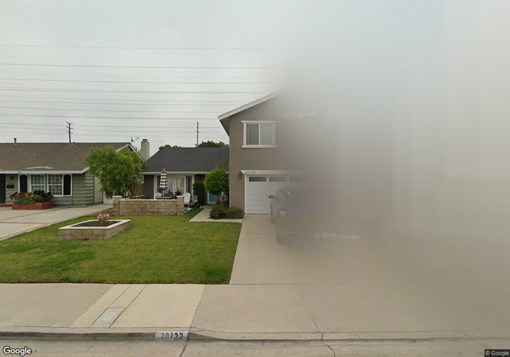
20722 Spindrift Ln Huntington Beach, CA 92646
Southeast NeighborhoodEstimated Value: $1,637,000 - $1,857,000
3
Beds
3
Baths
2,523
Sq Ft
$679/Sq Ft
Est. Value
About This Home
This home is located at 20722 Spindrift Ln, Huntington Beach, CA 92646 and is currently estimated at $1,713,722, approximately $679 per square foot. 20722 Spindrift Ln is a home located in Orange County with nearby schools including Ralph E. Hawes Elementary School, Isaac L. Sowers Middle School, and Edison High School.
Ownership History
Date
Name
Owned For
Owner Type
Purchase Details
Closed on
Apr 18, 2018
Sold by
Threlfall Erna Jeane
Bought by
Threlafall Erna J and The Erna Threlafall Living Trust
Current Estimated Value
Purchase Details
Closed on
Jun 30, 2015
Sold by
Threlfall Eric M
Bought by
Threlfall Erna Jane
Create a Home Valuation Report for This Property
The Home Valuation Report is an in-depth analysis detailing your home's value as well as a comparison with similar homes in the area
Home Values in the Area
Average Home Value in this Area
Purchase History
| Date | Buyer | Sale Price | Title Company |
|---|---|---|---|
| Threlafall Erna J | -- | None Available | |
| Threlfall Erna Jane | -- | None Available |
Source: Public Records
Tax History Compared to Growth
Tax History
| Year | Tax Paid | Tax Assessment Tax Assessment Total Assessment is a certain percentage of the fair market value that is determined by local assessors to be the total taxable value of land and additions on the property. | Land | Improvement |
|---|---|---|---|---|
| 2025 | $5,055 | $431,380 | $105,327 | $326,053 |
| 2024 | $5,055 | $422,922 | $103,262 | $319,660 |
| 2023 | $4,940 | $414,630 | $101,237 | $313,393 |
| 2022 | $4,810 | $406,500 | $99,251 | $307,249 |
| 2021 | $4,722 | $398,530 | $97,305 | $301,225 |
| 2020 | $4,691 | $394,444 | $96,307 | $298,137 |
| 2019 | $4,637 | $386,710 | $94,418 | $292,292 |
| 2018 | $4,566 | $379,128 | $92,567 | $286,561 |
| 2017 | $4,506 | $371,695 | $90,752 | $280,943 |
| 2016 | $2,520 | $771,590 | $658,876 | $112,714 |
| 2015 | $2,417 | $196,766 | $87,637 | $109,129 |
| 2014 | $2,365 | $192,912 | $85,920 | $106,992 |
Source: Public Records
Map
Nearby Homes
- 10101 Theseus Dr
- 21022 Manessa Cir
- 21072 Galbar Cir
- 20442 Craimer Ln
- 9812 La Cresta Cir
- 20392 Redwood Ln
- 10172 Stonybrook Dr
- 2175 Pacific Ave Unit C1
- 9802 Effingham Dr
- 2230 Canyon Dr
- 2245 State Ave
- 2741 Sandpiper Dr
- 1269 Westreef
- 1170 Gleneagles Terrace
- 20862 Lancelot Ln
- 2761 Sandpiper Dr
- 9581 Chevy Chase Dr
- 21382 Lemontree Ln
- 21361 Lemontree Ln
- 2036 Mandarin Dr
- 20732 Spindrift Ln
- 20712 Spindrift Ln
- 20702 Spindrift Ln
- 20742 Spindrift Ln
- 20731 Spindrift Ln
- 20741 Spindrift Ln
- 20711 Spindrift Ln
- 20692 Spindrift Ln
- 20752 Spindrift Ln
- 20701 Spindrift Ln
- 20761 Spindrift Ln
- 20691 Spindrift Ln
- 20762 Spindrift Ln
- 20672 Spindrift Ln
- 10171 Suntan Cir
- 10172 Suntan Cir
- 10182 Cliff Dr
- 20771 Spindrift Ln
- 20772 Spindrift Ln
- 10162 Suntan Cir