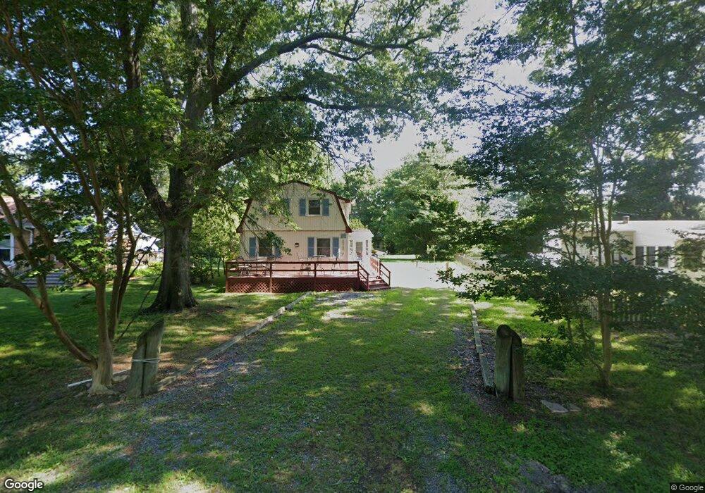
20726 Mercer Ave Rock Hall, MD 21661
Estimated Value: $313,000 - $336,000
--
Bed
2
Baths
1,280
Sq Ft
$251/Sq Ft
Est. Value
About This Home
This home is located at 20726 Mercer Ave, Rock Hall, MD 21661 and is currently estimated at $321,612, approximately $251 per square foot. 20726 Mercer Ave is a home located in Kent County with nearby schools including Center for Innovation, Kent County Middle School, and Kent County High School.
Ownership History
Date
Name
Owned For
Owner Type
Purchase Details
Closed on
Aug 22, 2024
Sold by
Zippler Roseann V and Bechtle Sharon
Bought by
Zammit Keith
Current Estimated Value
Purchase Details
Closed on
Aug 26, 1985
Sold by
Theobald Robert H
Bought by
Zippler Thomas G and Zippler Roseann
Purchase Details
Closed on
Mar 12, 1984
Sold by
Bloomgarden Barclay H
Bought by
Theobald Robert H
Purchase Details
Closed on
Aug 12, 1983
Sold by
Harwood Robert L and Harwood Lillian M
Bought by
Bloomgarden Barclay H
Create a Home Valuation Report for This Property
The Home Valuation Report is an in-depth analysis detailing your home's value as well as a comparison with similar homes in the area
Home Values in the Area
Average Home Value in this Area
Purchase History
| Date | Buyer | Sale Price | Title Company |
|---|---|---|---|
| Zammit Keith | $250,000 | Bay East Title | |
| Zammit Keith | $250,000 | Bay East Title | |
| Zippler Thomas G | $13,000 | -- | |
| Theobald Robert H | $8,000 | -- | |
| Bloomgarden Barclay H | $7,000 | -- |
Source: Public Records
Tax History Compared to Growth
Tax History
| Year | Tax Paid | Tax Assessment Tax Assessment Total Assessment is a certain percentage of the fair market value that is determined by local assessors to be the total taxable value of land and additions on the property. | Land | Improvement |
|---|---|---|---|---|
| 2025 | $2,914 | $192,500 | $0 | $0 |
| 2024 | $2,569 | $168,600 | $80,600 | $88,000 |
| 2023 | $2,553 | $167,533 | $0 | $0 |
| 2022 | $2,504 | $166,467 | $0 | $0 |
| 2021 | $2,430 | $165,400 | $80,600 | $84,800 |
| 2020 | $2,430 | $164,833 | $0 | $0 |
| 2019 | $2,421 | $164,267 | $0 | $0 |
| 2018 | $2,380 | $163,700 | $80,600 | $83,100 |
| 2017 | $2,380 | $163,700 | $0 | $0 |
| 2016 | -- | $163,700 | $0 | $0 |
| 2015 | $2,160 | $167,700 | $0 | $0 |
| 2014 | $2,160 | $167,700 | $0 | $0 |
Source: Public Records
Map
Nearby Homes
- 5750 Walnut St
- 5697 Walnut St
- 5980 Lawton Ave
- #2 Lawton Ave
- 6119 New St Unit 2
- 5791 S Hawthorne Ave
- 21090 W Sharp St Unit 133
- 21090 W Sharp St Unit 112
- 21119 Striper Run
- 21131 Striper Run
- 21133 Striper Run
- 21163 Chesapeake Ave
- 21139 Striper Run
- 21141 Striper Run
- 5829 N Main St
- 21305 Haven Rd
- 5686 S Main St
- 5898 Williams St
- 21332 E Sharp St
- 21336 Haven Rd
- 20714 Mercer Ave
- 5830 Locust St
- 0 Mercer Ave
- 20742 Mercer Ave
- 20708 Mercer Ave
- 20723 Mercer Ave
- 20705 Wilkins Ave
- 20702 Bayside Ave
- 20725 Wilkins Ave
- 20753 Mercer Ave
- 5825 Locust St
- 20698 Mercer Ave
- 20750 Mercer Ave
- 5835 Locust St
- 20709 Wilkins Ave
- 20718 Bayside Ave
- 5839 Locust St
- 20694 Mercer Ave
- 20722 Bayside Ave
- 20747 Mercer Ave