2074 H Ave Marengo, IA 52301
Estimated Value: $264,000 - $478,000
4
Beds
2
Baths
1,790
Sq Ft
$217/Sq Ft
Est. Value
About This Home
This home is located at 2074 H Ave, Marengo, IA 52301 and is currently estimated at $388,213, approximately $216 per square foot. 2074 H Ave is a home located in Iowa County with nearby schools including Iowa Valley Elementary School and Iowa Valley Junior/Senior High School.
Ownership History
Date
Name
Owned For
Owner Type
Purchase Details
Closed on
Feb 6, 2025
Sold by
Bean Joshua B and Bean Fedia
Bought by
Mapa Enterprises Limited Partnership
Current Estimated Value
Purchase Details
Closed on
Feb 4, 2025
Sold by
Bean Nicole A
Bought by
Mapa Enterprises Limited Partnership
Purchase Details
Closed on
Nov 19, 2024
Sold by
Haack Rhonda and Krug Rhonda
Bought by
Haack Phyllis A
Create a Home Valuation Report for This Property
The Home Valuation Report is an in-depth analysis detailing your home's value as well as a comparison with similar homes in the area
Home Values in the Area
Average Home Value in this Area
Purchase History
| Date | Buyer | Sale Price | Title Company |
|---|---|---|---|
| Mapa Enterprises Limited Partnership | -- | None Listed On Document | |
| Mapa Enterprises Limited Partnership | -- | None Listed On Document | |
| Mapa Enterprises Limited Partnership | -- | None Listed On Document | |
| Mapa Enterprises Limited Partnership | -- | None Listed On Document | |
| Haack Phyllis A | -- | None Listed On Document |
Source: Public Records
Tax History Compared to Growth
Tax History
| Year | Tax Paid | Tax Assessment Tax Assessment Total Assessment is a certain percentage of the fair market value that is determined by local assessors to be the total taxable value of land and additions on the property. | Land | Improvement |
|---|---|---|---|---|
| 2024 | $3,134 | $250,900 | $27,870 | $223,030 |
| 2023 | $3,164 | $250,900 | $27,870 | $223,030 |
| 2022 | $2,706 | $209,860 | $22,180 | $187,680 |
| 2021 | $2,578 | $211,600 | $23,920 | $187,680 |
| 2020 | $2,472 | $188,860 | $23,750 | $165,110 |
| 2019 | $2,688 | $188,860 | $23,750 | $165,110 |
| 2018 | $2,586 | $194,970 | $33,320 | $161,650 |
| 2017 | $114 | $194,970 | $33,320 | $161,650 |
| 2016 | $2,378 | $189,230 | $34,400 | $154,830 |
| 2015 | $2,378 | $184,720 | $29,890 | $154,830 |
| 2014 | $2,258 | $178,940 | $28,700 | $150,240 |
Source: Public Records
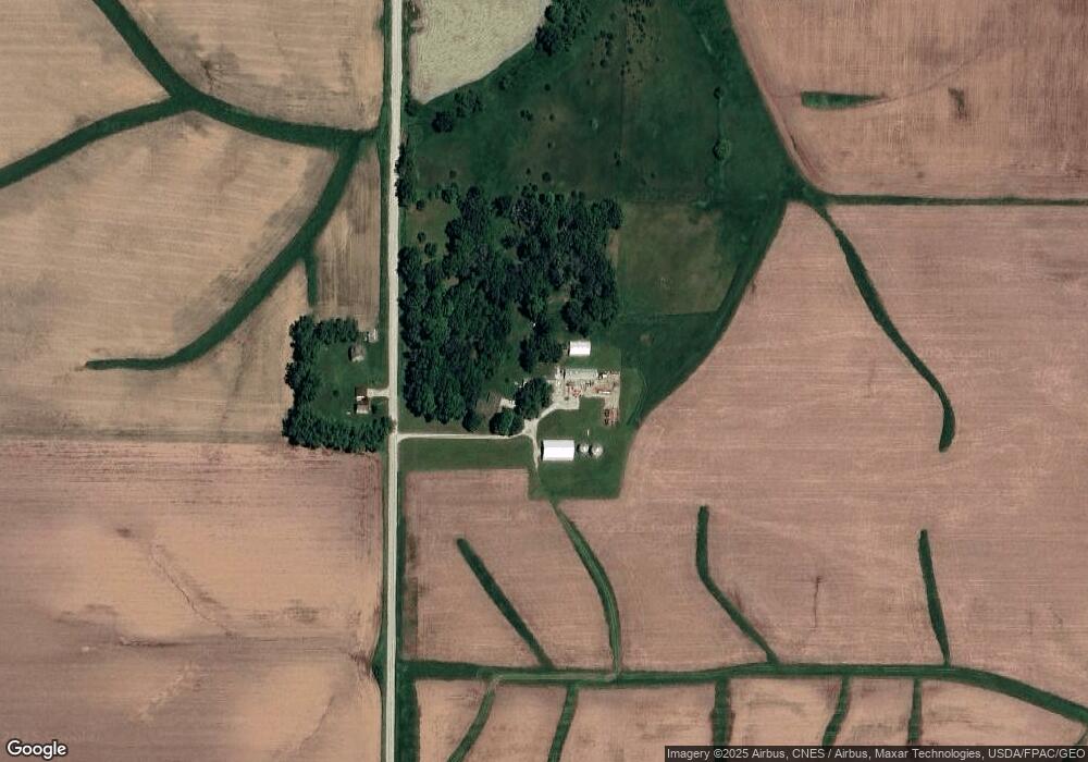
Map
Nearby Homes
- 2009 G Ave
- 2059 J Ave
- 323 Roberts Ave
- 605 Williams St
- Auditors Parcel # 112503050
- 449 Western Ave
- 835 Howard Ave
- 235 W Randolph St
- 204 Westwood Rd
- 239 W South St
- 795 Franklyn Ave
- 105 Fairlawn Ct
- 707 Hampton Dr
- 897 Lafayette Ave
- 202 W South St
- 594 W Washington St
- 1004 W Welsh St
- 300 E Hilton St
- 128 Bailey Park Rd
- 2057 280th St