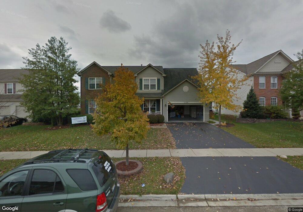
2076 Mark Cir Unit 1 Bolingbrook, IL 60490
West Bolingbrook NeighborhoodEstimated Value: $546,961 - $603,000
Studio
1
Bath
2,870
Sq Ft
$201/Sq Ft
Est. Value
About This Home
This home is located at 2076 Mark Cir Unit 1, Bolingbrook, IL 60490 and is currently estimated at $575,990, approximately $200 per square foot. 2076 Mark Cir Unit 1 is a home located in Will County with nearby schools including Liberty Elementary School, John F Kennedy Middle School, and Plainfield East High School.
Ownership History
Date
Name
Owned For
Owner Type
Purchase Details
Closed on
Jun 26, 2024
Sold by
Lira Armando and Lira Maria
Bought by
Armando And Maria Lira Joint Revocable Trust and Lira
Current Estimated Value
Purchase Details
Closed on
Apr 22, 2002
Sold by
Bolingbrook Ltd Partnership
Bought by
Lira Armando and Lira Maria Teresa
Home Financials for this Owner
Home Financials are based on the most recent Mortgage that was taken out on this home.
Original Mortgage
$176,000
Interest Rate
7.07%
Create a Home Valuation Report for This Property
The Home Valuation Report is an in-depth analysis detailing your home's value as well as a comparison with similar homes in the area
Home Values in the Area
Average Home Value in this Area
Purchase History
| Date | Buyer | Sale Price | Title Company |
|---|---|---|---|
| Armando And Maria Lira Joint Revocable Trust | -- | None Listed On Document | |
| Lira Armando | $306,000 | Stewart Title Company |
Source: Public Records
Mortgage History
| Date | Status | Borrower | Loan Amount |
|---|---|---|---|
| Previous Owner | Lira Armando | $176,000 |
Source: Public Records
Tax History Compared to Growth
Tax History
| Year | Tax Paid | Tax Assessment Tax Assessment Total Assessment is a certain percentage of the fair market value that is determined by local assessors to be the total taxable value of land and additions on the property. | Land | Improvement |
|---|---|---|---|---|
| 2024 | $11,379 | $168,913 | $41,067 | $127,846 |
| 2023 | $11,379 | $149,216 | $36,278 | $112,938 |
| 2022 | $8,972 | $121,554 | $34,318 | $87,236 |
| 2021 | $8,627 | $115,766 | $32,684 | $83,082 |
| 2020 | $8,602 | $113,932 | $32,166 | $81,766 |
| 2019 | $8,566 | $110,721 | $31,259 | $79,462 |
| 2018 | $8,244 | $104,992 | $30,571 | $74,421 |
| 2017 | $8,268 | $102,282 | $29,782 | $72,500 |
| 2016 | $8,408 | $100,080 | $29,141 | $70,939 |
| 2015 | $8,336 | $96,231 | $28,020 | $68,211 |
| 2014 | $8,336 | $96,231 | $28,020 | $68,211 |
| 2013 | $8,336 | $96,231 | $28,020 | $68,211 |
Source: Public Records
Map
Nearby Homes
- 1314 Danhof Dr
- 13144 S Lake Mary Dr
- 2405 River Hills Ln
- 22802 Eider Ct
- 22743 Marina Dr
- 2101 Samantha Joy Ln
- 23152 W Sweetwater Ln
- 12825 S Slate Ln
- 23148 W Sweetwater Ln
- 23164 W Sweetwater Ln
- 12817 S Slate Ln
- 12856 S Slate Ln
- 23166 W Sweetwater Ln
- 23211 W Teton Ln
- 12910 S Slate Ln
- 12937 S Kerry Ln
- 12920 S Slate Ln
- 23244 W Teton Ln
- Ballard Plan at Riverstone - The Villas
- Lyndale Plan at Riverstone - Classic II Series
- 2072 Mark Cir
- 2080 Mark Cir
- 2084 Mark Cir Unit 1
- 2068 Mark Cir Unit 1
- 2073 Mark Cir Unit 1
- 2077 Mark Cir
- 2088 Mark Cir
- 2069 Mark Cir
- 2081 Mark Cir Unit 1
- 2064 Mark Cir Unit 1
- 22449 W 127th St
- 3 Glenview Ct Unit 2
- 2155 Muirfield Trail
- 2060 Mark Cir
- 2092 Mark Cir
- 2065 Mark Cir Unit 1
- 2085 Mark Cir Unit 1
- 4 Glenview Ct Unit 2
- 2151 Muirfield Trail
- 2056 Mark Cir