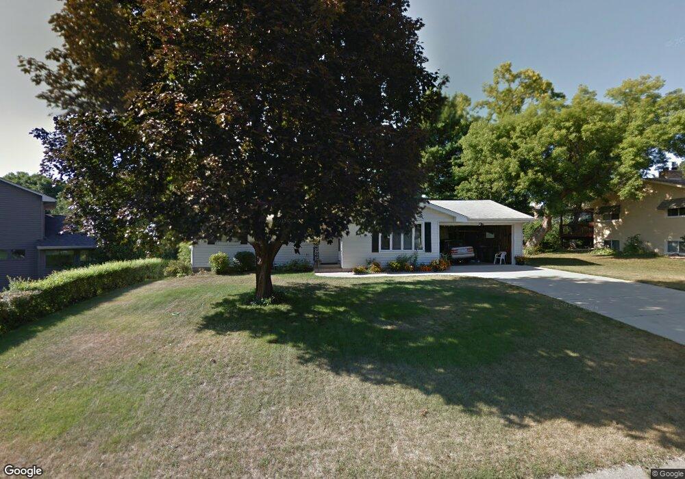
2076 Mississippi Cir New Brighton, MN 55112
Estimated Value: $394,000 - $428,000
4
Beds
2
Baths
484
Sq Ft
$849/Sq Ft
Est. Value
About This Home
This home is located at 2076 Mississippi Cir, New Brighton, MN 55112 and is currently estimated at $410,720, approximately $848 per square foot. 2076 Mississippi Cir is a home located in Ramsey County with nearby schools including Sunnyside Elementary School, Edgewood Middle School, and Irondale Senior High School.
Ownership History
Date
Name
Owned For
Owner Type
Purchase Details
Closed on
Jan 14, 2016
Sold by
Langer Erica
Bought by
Slabiak Peter C and Slabiak Rebecca J
Current Estimated Value
Purchase Details
Closed on
Jan 5, 2016
Sold by
Nelson Heidi M
Bought by
Slabiak Peter C and Slabiak Rebecca J
Purchase Details
Closed on
Sep 14, 2015
Sold by
Nelson Heidi M
Bought by
Slabiak Peter C and Slabiak Rebecca J
Home Financials for this Owner
Home Financials are based on the most recent Mortgage that was taken out on this home.
Original Mortgage
$109,796
Interest Rate
3.9%
Create a Home Valuation Report for This Property
The Home Valuation Report is an in-depth analysis detailing your home's value as well as a comparison with similar homes in the area
Home Values in the Area
Average Home Value in this Area
Purchase History
| Date | Buyer | Sale Price | Title Company |
|---|---|---|---|
| Slabiak Peter C | -- | Burnet Title | |
| Slabiak Peter C | $115,575 | Burnet Title | |
| Slabiak Peter C | $115,575 | Burnet Title | |
| Slabiak Peter Peter | $115,600 | -- |
Source: Public Records
Mortgage History
| Date | Status | Borrower | Loan Amount |
|---|---|---|---|
| Previous Owner | Slabiak Peter Peter | $109,796 | |
| Previous Owner | Slabiak Peter C | $219,592 |
Source: Public Records
Tax History Compared to Growth
Tax History
| Year | Tax Paid | Tax Assessment Tax Assessment Total Assessment is a certain percentage of the fair market value that is determined by local assessors to be the total taxable value of land and additions on the property. | Land | Improvement |
|---|---|---|---|---|
| 2025 | $4,866 | $393,100 | $75,000 | $318,100 |
| 2023 | $4,866 | $369,300 | $75,000 | $294,300 |
| 2022 | $4,590 | $352,600 | $75,000 | $277,600 |
| 2021 | $3,870 | $324,400 | $75,000 | $249,400 |
| 2020 | $4,102 | $287,200 | $69,300 | $217,900 |
| 2019 | $3,550 | $279,500 | $69,300 | $210,200 |
| 2018 | $3,320 | $257,600 | $69,300 | $188,300 |
| 2017 | $2,882 | $236,600 | $69,300 | $167,300 |
| 2016 | $2,936 | $0 | $0 | $0 |
| 2015 | $1,347 | $206,200 | $64,600 | $141,600 |
| 2014 | $2,786 | $0 | $0 | $0 |
Source: Public Records
Map
Nearby Homes
- 2087 Violet Ln
- 1942 Mounds Ave
- 1921 Mounds Ave
- 2344 Thorndale Ave
- 1937 Longview Dr
- 2001 Long Lake Rd
- 1540 Mississippi St
- 1939 Long Lake Rd
- 2211 Brittany Ct
- 2005 28th Ave NW Unit 102
- 2721 Rice Creek Rd
- 7625 Pleasant View Dr
- 2454 Long Lake Rd
- 2247 Walnut Ct S
- 1364 Rockstone Ln
- 2542 Silver Lake Rd NW
- 2253 County Road H
- 3075 21st Ln NW
- 1272 Poppyseed Dr
- 1451 18th St NW
- 2046 Mississippi Cir
- 2130 Mississippi Cir
- 2174 Mississippi Cir
- 2153 Mississippi St
- 2135 Mississippi St
- 2089 Mississippi Cir
- 2190 Mississippi Cir
- 2016 Mississippi Cir
- 2105 Mississippi Cir
- 2075 Mississippi Cir
- 2063 Mississippi Cir
- 2115 Mississippi Cir
- 2131 Mississippi Cir
- 2045 Mississippi Cir
- 2163 Mississippi Cir
- 2175 Mississippi Cir
- 2189 Mississippi Cir
- 2145 Mississippi Cir
- 2031 Mississippi Cir
- 2202 Thorndale Ave