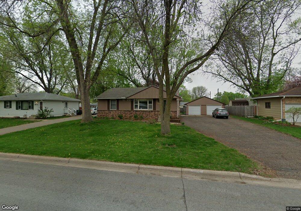
2076 Opal Dr Saint Paul, MN 55122
Estimated Value: $333,000 - $361,000
3
Beds
2
Baths
1,744
Sq Ft
$198/Sq Ft
Est. Value
About This Home
This home is located at 2076 Opal Dr, Saint Paul, MN 55122 and is currently estimated at $345,179, approximately $197 per square foot. 2076 Opal Dr is a home located in Dakota County with nearby schools including Burnsville High School, Gateway STEM Academy, and Sunrise International Montessori School.
Ownership History
Date
Name
Owned For
Owner Type
Purchase Details
Closed on
Jun 27, 2022
Sold by
Link Candance and Link Scott
Bought by
Crotty Thomas and Crotty Rebecca
Current Estimated Value
Home Financials for this Owner
Home Financials are based on the most recent Mortgage that was taken out on this home.
Original Mortgage
$292,500
Outstanding Balance
$278,780
Interest Rate
5.3%
Mortgage Type
New Conventional
Estimated Equity
$66,399
Purchase Details
Closed on
Oct 25, 2002
Sold by
Drangstveit Justin J and Drangstveit Jennifer R
Bought by
Link Candace M and Link Scott
Purchase Details
Closed on
Jan 29, 1996
Sold by
Benson Timothy A
Bought by
Drangstveit Justin J and Drangstveit Jennifer
Create a Home Valuation Report for This Property
The Home Valuation Report is an in-depth analysis detailing your home's value as well as a comparison with similar homes in the area
Home Values in the Area
Average Home Value in this Area
Purchase History
| Date | Buyer | Sale Price | Title Company |
|---|---|---|---|
| Crotty Thomas | $325,000 | -- | |
| Link Candace M | $184,900 | -- | |
| Drangstveit Justin J | $107,500 | -- |
Source: Public Records
Mortgage History
| Date | Status | Borrower | Loan Amount |
|---|---|---|---|
| Open | Crotty Thomas | $292,500 |
Source: Public Records
Tax History
| Year | Tax Paid | Tax Assessment Tax Assessment Total Assessment is a certain percentage of the fair market value that is determined by local assessors to be the total taxable value of land and additions on the property. | Land | Improvement |
|---|---|---|---|---|
| 2024 | $3,056 | $308,800 | $87,400 | $221,400 |
| 2023 | $3,056 | $311,700 | $87,700 | $224,000 |
| 2022 | $2,532 | $300,700 | $87,500 | $213,200 |
| 2021 | $2,488 | $263,000 | $76,200 | $186,800 |
| 2020 | $2,556 | $245,000 | $72,600 | $172,400 |
| 2019 | $2,511 | $241,900 | $69,100 | $172,800 |
| 2018 | $2,338 | $228,900 | $65,900 | $163,000 |
| 2017 | $2,234 | $206,800 | $62,700 | $144,100 |
| 2016 | $2,245 | $198,300 | $59,700 | $138,600 |
| 2015 | $2,107 | $171,931 | $53,488 | $118,443 |
| 2014 | -- | $166,917 | $51,777 | $115,140 |
| 2013 | -- | $139,558 | $45,343 | $94,215 |
Source: Public Records
Map
Nearby Homes
- 2078 Diffley Rd
- 4022 Cedar Grove Ln
- 4002 Cedar Grove Ln
- 2042 Bluestone Ln
- 4130 Rahn Rd Unit B119
- 4130 Rahn Rd Unit B206
- 4110 Rahn Rd Unit 201
- 4110 Rahn Rd Unit 115
- 4110 Rahn Rd Unit 121
- 4110 Rahn Rd Unit 317
- 2156 Cedar Grove Trail
- 2128 River Valley Ln
- 3981 Cedar Grove Ln
- 1978 Timber Wolf Trail S
- 3976 Cedar Grove Ln
- 2232 White Water Way
- 1955 Timber Wolf Trail S
- 2122 Water Lilly Ln Unit 1206
- 2102 Water Lilly Ln Unit 1308
- 2216 Water Lilly Ln Unit 607
Your Personal Tour Guide
Ask me questions while you tour the home.