2076 Opal Dr Saint Paul, MN 55122
Estimated Value: $325,000 - $354,025
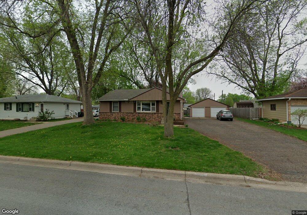
About This Home
This home is located at 2076 Opal Dr, Saint Paul, MN 55122 and is currently estimated at $343,256, approximately $196 per square foot. 2076 Opal Dr is a home located in Dakota County with nearby schools including Burnsville High School, Gateway STEM Academy, and Sunrise International Montessori School.
Ownership History
We collect this data history from publicly available records. To have your information removed, we recommend requesting removal directly through your county’s website.
Purchase Details
Home Financials for this Owner
Home Financials are based on the most recent Mortgage that was taken out on this home.Purchase Details
Purchase Details
Home Values in the Area
Average Home Value in this Area
Purchase History
We collect this data history from publicly available records. To have your information removed, we recommend requesting removal directly through your county’s website.
| Date | Buyer | Sale Price | Title Company |
|---|---|---|---|
| $325,000 | -- | ||
| $184,900 | -- | ||
| $107,500 | -- |
Mortgage History
We collect this data history from publicly available records. To have your information removed, we recommend requesting removal directly through your county’s website.
| Date | Status | Borrower | Loan Amount |
|---|---|---|---|
| Open | $292,500 |
Tax History
We collect this data history from publicly available records. To have your information removed, we recommend requesting removal directly through your county’s website.
| Year | Tax Paid | Tax Assessment Tax Assessment Total Assessment is a certain percentage of the fair market value that is determined by local assessors to be the total taxable value of land and additions on the property. | Land | Improvement |
|---|---|---|---|---|
| 2025 | $3,147 | $319,500 | $89,900 | $229,600 |
| 2024 | $3,056 | $308,800 | $87,400 | $221,400 |
| 2023 | $3,056 | $311,700 | $87,700 | $224,000 |
| 2022 | $2,532 | $300,700 | $87,500 | $213,200 |
| 2021 | $2,488 | $263,000 | $76,200 | $186,800 |
| 2020 | $2,556 | $245,000 | $72,600 | $172,400 |
| 2019 | $2,511 | $241,900 | $69,100 | $172,800 |
| 2018 | $2,338 | $228,900 | $65,900 | $163,000 |
| 2017 | $2,234 | $206,800 | $62,700 | $144,100 |
| 2016 | $2,245 | $198,300 | $59,700 | $138,600 |
| 2015 | $2,107 | $171,931 | $53,488 | $118,443 |
| 2014 | -- | $166,917 | $51,777 | $115,140 |
| 2013 | -- | $139,558 | $45,343 | $94,215 |
Map
- 2041 Emerald Ln
- 2063 Coral Ln
- 2090 Carnelian Ln
- 2013 Jade Ln
- 4254 Meghan Ln
- 4022 Cedar Grove Ln
- 4002 Cedar Grove Ln
- 4130 Rahn Rd Unit B206
- 2045 Bluestone Ln
- 4110 Rahn Rd Unit 115
- 4110 Rahn Rd Unit 201
- 4110 Rahn Rd Unit 221
- 4110 Rahn Rd Unit 223
- 4110 Rahn Rd Unit 323
- 4110 Rahn Rd Unit 202
- 4110 Rahn Rd Unit 317
- 2156 Cedar Grove Trail
- 1984 Glenfield Ct Unit 36
- 4015 River Valley Way
- 2170 Cool Stream Cir Unit 1803
Ask me questions while you tour the home.