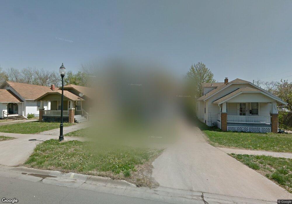
2076 SW Washburn Ave Topeka, KS 66604
Chesney Park NeighborhoodEstimated Value: $76,689 - $104,000
2
Beds
2
Baths
754
Sq Ft
$120/Sq Ft
Est. Value
About This Home
This home is located at 2076 SW Washburn Ave, Topeka, KS 66604 and is currently estimated at $90,422, approximately $119 per square foot. 2076 SW Washburn Ave is a home located in Shawnee County with nearby schools including Buckeye Elementary School, Rosenwald Elementary School, and Martin Park Elementary School.
Ownership History
Date
Name
Owned For
Owner Type
Purchase Details
Closed on
Jun 18, 2021
Sold by
Wheeler Linda K and Wheeler Tony A
Bought by
Folkerts Properties Llc
Current Estimated Value
Purchase Details
Closed on
Apr 28, 2006
Sold by
Copeland Melvin and Copeland Sharon
Bought by
Gakle Linda K
Home Financials for this Owner
Home Financials are based on the most recent Mortgage that was taken out on this home.
Original Mortgage
$50,212
Interest Rate
6.33%
Mortgage Type
FHA
Create a Home Valuation Report for This Property
The Home Valuation Report is an in-depth analysis detailing your home's value as well as a comparison with similar homes in the area
Home Values in the Area
Average Home Value in this Area
Purchase History
| Date | Buyer | Sale Price | Title Company |
|---|---|---|---|
| Folkerts Properties Llc | -- | Security 1St Title | |
| Gakle Linda K | -- | Lawyers Title Of Topeka Inc |
Source: Public Records
Mortgage History
| Date | Status | Borrower | Loan Amount |
|---|---|---|---|
| Previous Owner | Gakle Linda K | $50,212 |
Source: Public Records
Tax History Compared to Growth
Tax History
| Year | Tax Paid | Tax Assessment Tax Assessment Total Assessment is a certain percentage of the fair market value that is determined by local assessors to be the total taxable value of land and additions on the property. | Land | Improvement |
|---|---|---|---|---|
| 2025 | $1,047 | $8,525 | -- | -- |
| 2023 | $1,047 | $7,659 | $0 | $0 |
| 2022 | $833 | $5,983 | $0 | $0 |
| 2021 | $825 | $5,439 | $0 | $0 |
| 2020 | $669 | $4,518 | $0 | $0 |
| 2019 | $659 | $4,429 | $0 | $0 |
| 2018 | $640 | $4,301 | $0 | $0 |
| 2017 | $813 | $4,301 | $0 | $0 |
| 2014 | $707 | $4,667 | $0 | $0 |
Source: Public Records
Map
Nearby Homes
- 1647 SW 21st St
- 2129 SW Buchanan St
- 2058 SW Buchanan St
- 1556 SW 23rd St
- 1907 SW Buchanan St
- 1912 SW Buchanan St
- 1501-1599 SW 17th St
- 1608 SW 26th St
- 1700 SW Buchanan St
- 1615 SW 27th St
- 1630 SW Buchanan St
- 2720 SW College Ave
- 918 SW 17th St
- 2400 SW 24th St
- 1620 SW Clay St
- 1527 SW Mulvane St
- 1637 SW Fillmore St
- 2330 SW Wayne Ave
- 1531 SW 15th St
- 1610 SW Central Park Ave
- 2074 SW Washburn Ave
- 2080 SW Washburn Ave
- 2070 SW Washburn Ave
- 2064 SW Washburn Ave
- 2077 SW Lane St
- 2075 SW Lane St
- 2081 SW Lane St
- 2060 SW Washburn Ave
- 2071 SW Lane St
- 2065 SW Lane St
- 2059 SW Lane St
- 2056 SW Washburn Ave
- 1601 SW 21st St
- 2051 SW Lane St
- 1605 SW 21st St
- 2070 SW Lane St
- 2078 SW Lane St
- 2068 SW Lane St
- 2111 SW Washburn Ave
- 2064 SW Lane St