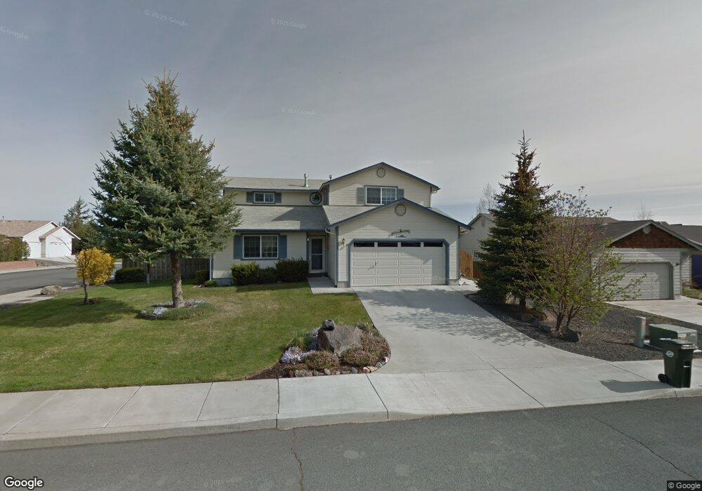
20768 Liberty Ln Bend, OR 97701
Boyd Acres NeighborhoodEstimated Value: $581,000 - $648,000
3
Beds
3
Baths
1,920
Sq Ft
$319/Sq Ft
Est. Value
About This Home
This home is located at 20768 Liberty Ln, Bend, OR 97701 and is currently estimated at $611,907, approximately $318 per square foot. 20768 Liberty Ln is a home located in Deschutes County with nearby schools including Lava Ridge Elementary School, Sky View Middle School, and Mountain View Senior High School.
Ownership History
Date
Name
Owned For
Owner Type
Purchase Details
Closed on
Jul 20, 2015
Sold by
Wentzek William F and Wentzek Elizabeth A
Bought by
Dale Nicole B and Dale Marcus R
Current Estimated Value
Home Financials for this Owner
Home Financials are based on the most recent Mortgage that was taken out on this home.
Original Mortgage
$266,000
Outstanding Balance
$207,918
Interest Rate
4.01%
Mortgage Type
New Conventional
Estimated Equity
$403,989
Create a Home Valuation Report for This Property
The Home Valuation Report is an in-depth analysis detailing your home's value as well as a comparison with similar homes in the area
Home Values in the Area
Average Home Value in this Area
Purchase History
| Date | Buyer | Sale Price | Title Company |
|---|---|---|---|
| Dale Nicole B | $280,000 | Amerititle |
Source: Public Records
Mortgage History
| Date | Status | Borrower | Loan Amount |
|---|---|---|---|
| Open | Dale Nicole B | $266,000 |
Source: Public Records
Tax History Compared to Growth
Tax History
| Year | Tax Paid | Tax Assessment Tax Assessment Total Assessment is a certain percentage of the fair market value that is determined by local assessors to be the total taxable value of land and additions on the property. | Land | Improvement |
|---|---|---|---|---|
| 2025 | $4,097 | $242,500 | -- | -- |
| 2024 | $3,942 | $235,440 | -- | -- |
| 2023 | $3,654 | $228,590 | $0 | $0 |
| 2022 | $3,410 | $215,480 | $0 | $0 |
| 2021 | $3,415 | $209,210 | $0 | $0 |
| 2020 | $3,240 | $209,210 | $0 | $0 |
| 2019 | $3,150 | $203,120 | $0 | $0 |
| 2018 | $3,061 | $197,210 | $0 | $0 |
| 2017 | $2,971 | $191,470 | $0 | $0 |
| 2016 | $2,833 | $185,900 | $0 | $0 |
| 2015 | $2,755 | $180,490 | $0 | $0 |
| 2014 | -- | $175,240 | $0 | $0 |
Source: Public Records
Map
Nearby Homes
- 21072 NE High Desert Ln
- Avery Plan at Acadia Pointe
- Jade Plan at Acadia Pointe
- Hickory Plan at Acadia Pointe
- Larwood Plan at Acadia Pointe
- Magnolia Plan at Acadia Pointe
- Leverich Plan at Acadia Pointe
- Ashland Plan at Acadia Pointe
- Cypress Plan at Acadia Pointe
- 20676 Morningstar Dr
- 63254 Carly Ln
- 63250 NE Carly Ln
- 63246 NE Carly Ln
- 63238 Carly Ln
- 63230 Carly Ln
- 63226 Carly Ln
- 63222 Carly Ln
- 63218 Carly Ln
- 63210 Carly Ln
- 63249 Carly Ln
- 20772 Liberty Ln
- 63371 Majestic Loop
- 20760 Liberty Ln
- 20776 Liberty Ln
- 20769 Liberty Ln
- 20765 Liberty Ln
- 20769 Liberty Ln
- 20756 Liberty Ln
- 20782 Liberty Ln
- 20773 Liberty Ln
- 63367 Majestic Loop
- 20773 Liberty Ln
- 20757 Liberty Ln
- 20806 Liberty Ln
- 63372 Majestic Loop
- 20812 Liberty Ln
- 63364 Majestic Loop
- 20790 Renee Ct
- 20792 Liberty Ln