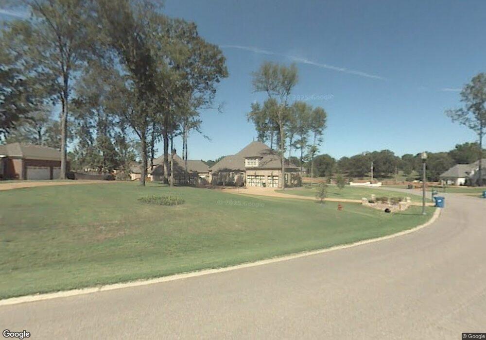
2077 Manning Cir S Nesbit, MS 38651
Pleasant Hill NeighborhoodEstimated Value: $510,000 - $628,053
4
Beds
--
Bath
4,283
Sq Ft
$134/Sq Ft
Est. Value
About This Home
This home is located at 2077 Manning Cir S, Nesbit, MS 38651 and is currently estimated at $574,263, approximately $134 per square foot. 2077 Manning Cir S is a home located in DeSoto County with nearby schools including DeSoto Central Primary School, DeSoto Central Elementary School, and DeSoto Central Middle School.
Ownership History
Date
Name
Owned For
Owner Type
Purchase Details
Closed on
Feb 3, 2015
Sold by
Vaughn Warren G and Vaughn Anita C
Bought by
Beckham Albert Hugh and Beckham Elizabeth Maggio
Current Estimated Value
Home Financials for this Owner
Home Financials are based on the most recent Mortgage that was taken out on this home.
Original Mortgage
$100,000
Outstanding Balance
$33,710
Interest Rate
3.81%
Mortgage Type
New Conventional
Estimated Equity
$540,553
Create a Home Valuation Report for This Property
The Home Valuation Report is an in-depth analysis detailing your home's value as well as a comparison with similar homes in the area
Home Values in the Area
Average Home Value in this Area
Purchase History
| Date | Buyer | Sale Price | Title Company |
|---|---|---|---|
| Beckham Albert Hugh | -- | None Available |
Source: Public Records
Mortgage History
| Date | Status | Borrower | Loan Amount |
|---|---|---|---|
| Open | Beckham Albert Hugh | $100,000 |
Source: Public Records
Tax History Compared to Growth
Tax History
| Year | Tax Paid | Tax Assessment Tax Assessment Total Assessment is a certain percentage of the fair market value that is determined by local assessors to be the total taxable value of land and additions on the property. | Land | Improvement |
|---|---|---|---|---|
| 2025 | $7,779 | $54,891 | $5,500 | $49,391 |
| 2024 | $5,428 | $39,568 | $5,500 | $34,068 |
| 2023 | $5,428 | $39,568 | $0 | $0 |
| 2022 | $5,307 | $39,568 | $5,500 | $34,068 |
| 2021 | $5,307 | $39,568 | $5,500 | $34,068 |
| 2020 | $4,929 | $36,901 | $5,500 | $31,401 |
| 2019 | $4,929 | $36,901 | $5,500 | $31,401 |
| 2017 | $5,049 | $69,612 | $37,556 | $32,056 |
| 2016 | $5,049 | $37,556 | $5,500 | $32,056 |
| 2015 | $5,349 | $69,612 | $37,556 | $32,056 |
| 2014 | $5,049 | $37,556 | $0 | $0 |
| 2013 | $5,258 | $37,480 | $0 | $0 |
Source: Public Records
Map
Nearby Homes
- 2147 Chancellor Cove
- 2830 Manning Cir S
- 2948 Grove Meadow Dr
- 3456 Susie Cir
- 3049 Pleasant Hill Rd
- 2210 Westwind Dr
- 3491 Hatton Dr
- 3505 Kreunen St
- 3617 Kreunen St
- 3631 Kreunen St
- 3250 W Hartland Dr
- 2930 N Hartland Dr
- 2955 Molly Cove
- 3128 Bryant St
- 2984 Eden Ln
- 2956 Molly Cove
- 2904 S Cherry Dr
- 4020 Maryan Ct
- 1721 Baisley Dr
- 1699 Baisley Dr
- 2115 Manning Cir E
- 2115 E Manning Cir
- 2880 Manning Cir S
- 2185 Hemingway Dr
- 2937 Manning Cir S
- 2058 E 2058 Manning Circle Cir E
- 2911 Manning Cir S
- 2118 Manning Cir E
- 2139 Manning Cir E
- 2854 Manning Cir S
- 2058 Manning Cir E
- 2148 Chancellor Cove
- 2799 Grove Unit Meadows
- 2865 Manning Cir S
- 2140 Manning Cir E
- 2894 Grove Unit Meadows
- 2169 Manning Cir E
- 100 Grove Unit Meadows
- 100 Grove
- 2209 Hemingway Dr