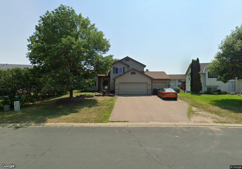
2077 Pheasant Run St Shakopee, MN 55379
Estimated Value: $427,000 - $471,000
5
Beds
2
Baths
1,647
Sq Ft
$269/Sq Ft
Est. Value
About This Home
This home is located at 2077 Pheasant Run St, Shakopee, MN 55379 and is currently estimated at $442,968, approximately $268 per square foot. 2077 Pheasant Run St is a home located in Scott County with nearby schools including Sun Path Elementary School, Shakopee West Middle School, and Shakopee Senior High School.
Ownership History
Date
Name
Owned For
Owner Type
Purchase Details
Closed on
Mar 20, 2024
Sold by
Blaede Michael and Blaede Traci
Bought by
Blaede Shane
Current Estimated Value
Home Financials for this Owner
Home Financials are based on the most recent Mortgage that was taken out on this home.
Original Mortgage
$174,500
Outstanding Balance
$171,603
Interest Rate
6.64%
Mortgage Type
New Conventional
Estimated Equity
$271,365
Purchase Details
Closed on
Jan 31, 2000
Sold by
Brandl/Anderson Homes Inc
Bought by
Blaede Michael J and Blaede Traci A
Create a Home Valuation Report for This Property
The Home Valuation Report is an in-depth analysis detailing your home's value as well as a comparison with similar homes in the area
Home Values in the Area
Average Home Value in this Area
Purchase History
| Date | Buyer | Sale Price | Title Company |
|---|---|---|---|
| Blaede Shane | $217,000 | -- | |
| Blaede Michael J | $199,605 | -- |
Source: Public Records
Mortgage History
| Date | Status | Borrower | Loan Amount |
|---|---|---|---|
| Open | Blaede Shane | $174,500 |
Source: Public Records
Tax History Compared to Growth
Tax History
| Year | Tax Paid | Tax Assessment Tax Assessment Total Assessment is a certain percentage of the fair market value that is determined by local assessors to be the total taxable value of land and additions on the property. | Land | Improvement |
|---|---|---|---|---|
| 2025 | $4,320 | $382,500 | $141,600 | $240,900 |
| 2024 | $4,282 | $385,900 | $141,600 | $244,300 |
| 2023 | $4,438 | $371,900 | $136,600 | $235,300 |
| 2022 | $3,942 | $387,700 | $155,300 | $232,400 |
| 2021 | $3,370 | $316,100 | $122,000 | $194,100 |
| 2020 | $3,614 | $297,300 | $117,000 | $180,300 |
| 2019 | $3,692 | $281,400 | $104,000 | $177,400 |
| 2018 | $3,438 | $0 | $0 | $0 |
| 2016 | $3,300 | $0 | $0 | $0 |
| 2014 | -- | $0 | $0 | $0 |
Source: Public Records
Map
Nearby Homes
- 2052 Wilhelm Ct
- 2518 Green Ash Ave
- 2529 Green Ash Ave
- Berkley Plan at Arbor Bluff - Venture Collection
- 2551 Aspen Ct
- Clark Plan at Arbor Bluff - Venture Collection
- 2548 Aspen Ct
- Itasca Plan at Arbor Bluff - Landmark Collection
- Sequoia Plan at Arbor Bluff - Venture Collection
- Markham Plan at Arbor Bluff - Venture Collection
- 2340 Rock Elm Rd
- Lewis Plan at Arbor Bluff - Landmark Collection
- McKinley Plan at Arbor Bluff - Landmark Collection
- 2584 Aspen Ct
- 2606 Green Ash Ave
- Marquette Plan at Arbor Bluff - Venture Collection
- 2689 Aspen Dr
- Sinclair Plan at Arbor Bluff - Landmark Collection
- Burnham Plan at Arbor Bluff - Venture Collection
- Washburn Plan at Arbor Bluff - Landmark Collection
- 2083 Pheasant Run St
- 2071 Pheasant Run St
- 2437 Ponds Way
- 2441 Ponds Way
- 2089 Pheasant Run St
- 2445 Ponds Way
- 2074 Pheasant Run St
- 2429 Ponds Way
- 2080 Pheasant Run St
- 2095 Pheasant Run St
- 2068 Pheasant Run St
- 2059 Pheasant Run St
- 2425 Ponds Way
- 2062 Pheasant Run St
- 2115 Chester St
- 2101 Pheasant Run St
- 2054 Blue Jay St
- 2126 Chester St
- 2438 Ponds Way
- 2430 Ponds Way