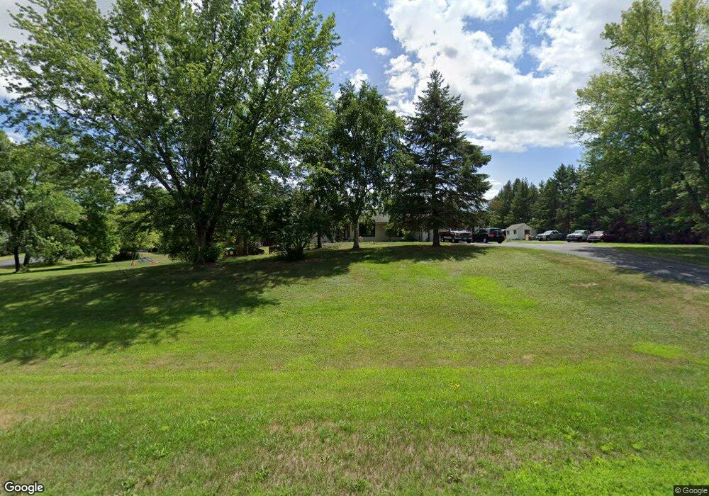
2078 Norton Dr Shakopee, MN 55379
Estimated Value: $575,000 - $695,000
4
Beds
3
Baths
2,620
Sq Ft
$240/Sq Ft
Est. Value
About This Home
This home is located at 2078 Norton Dr, Shakopee, MN 55379 and is currently estimated at $629,606, approximately $240 per square foot. 2078 Norton Dr is a home located in Scott County with nearby schools including Eagle Creek Elementary School, East Middle School, and Shakopee Senior High School.
Ownership History
Date
Name
Owned For
Owner Type
Purchase Details
Closed on
Jul 1, 2022
Sold by
Kaiser Eric W
Bought by
Selden Dale and Rist Coleen A
Current Estimated Value
Home Financials for this Owner
Home Financials are based on the most recent Mortgage that was taken out on this home.
Original Mortgage
$313,500
Outstanding Balance
$298,260
Interest Rate
5.09%
Mortgage Type
New Conventional
Estimated Equity
$331,346
Purchase Details
Closed on
Sep 30, 2002
Sold by
West Charles K and West Gail K G
Bought by
Kaiser Eric W and Lovik Holly L
Create a Home Valuation Report for This Property
The Home Valuation Report is an in-depth analysis detailing your home's value as well as a comparison with similar homes in the area
Home Values in the Area
Average Home Value in this Area
Purchase History
| Date | Buyer | Sale Price | Title Company |
|---|---|---|---|
| Selden Dale | $570,000 | First American Title | |
| Kaiser Eric W | $317,900 | -- |
Source: Public Records
Mortgage History
| Date | Status | Borrower | Loan Amount |
|---|---|---|---|
| Open | Selden Dale | $313,500 |
Source: Public Records
Tax History Compared to Growth
Tax History
| Year | Tax Paid | Tax Assessment Tax Assessment Total Assessment is a certain percentage of the fair market value that is determined by local assessors to be the total taxable value of land and additions on the property. | Land | Improvement |
|---|---|---|---|---|
| 2025 | $5,242 | $497,200 | $256,000 | $241,200 |
| 2024 | $5,678 | $497,200 | $256,000 | $241,200 |
| 2023 | $5,578 | $525,300 | $287,400 | $237,900 |
| 2022 | $5,256 | $509,500 | $275,900 | $233,600 |
| 2021 | $4,498 | $412,500 | $209,500 | $203,000 |
| 2020 | $5,238 | $384,400 | $184,600 | $199,800 |
| 2019 | $5,024 | $392,300 | $193,500 | $198,800 |
| 2018 | $4,548 | $0 | $0 | $0 |
| 2016 | $4,960 | $0 | $0 | $0 |
| 2014 | -- | $0 | $0 | $0 |
Source: Public Records
Map
Nearby Homes
- 2043 Eaglewood Dr
- XXX Marschall Rd
- 981 Peninsula Point Rd
- 1017 Vista Ridge Ln
- 746 Peninsula Point Rd
- 2551 Aspen Ct
- 2657 Aspen Dr
- 14336 Brookmere Blvd NW Unit 1102
- 14290 Brookmere Blvd NW
- 2624 Lakeview Dr
- 2576 Waterfall Way NW
- 2425 Peace Cir
- 2575 Waterfall Way NW
- 14171 Wilds Path NW
- 14153 Wilds Path NW
- 14020 Townline Ave
- 14137 Wilds Path NW
- 14983 Hillside Cir NW
- 3300 Valley View Rd
- 265 Mallard Dr
- 2146 Norton Dr
- 2004 Norton Dr
- 2067 Norton Dr
- 2017 Norton Dr
- 2119 Norton Dr
- 1932 Norton Dr
- 2181 Norton Dr
- 1963 Norton Dr
- 2202 Norton Dr
- 1869 Norton Dr
- 2225 Norton Dr
- 1854 Norton Dr
- 3300 Sycamore Cir S
- 2281 Norton Dr
- 3253 Marschall Rd
- 3312 Sycamore Cir S
- 3256 Mulberry Cir S
- 3247 Marschall Rd
- 3475 Marschall Rd
- 3346 Marschall Rd
