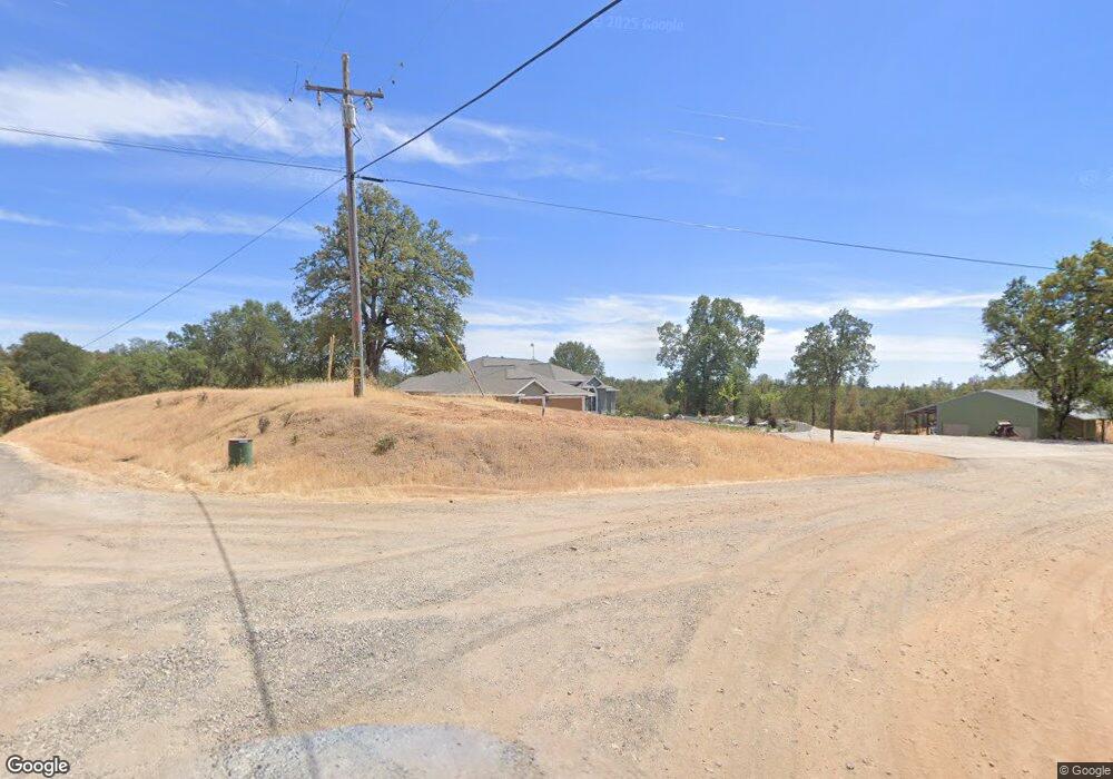
20797 Chicken Springs Rd Redding, CA 96003
Estimated Value: $589,000 - $651,891
3
Beds
2
Baths
2,142
Sq Ft
$290/Sq Ft
Est. Value
About This Home
This home is located at 20797 Chicken Springs Rd, Redding, CA 96003 and is currently estimated at $621,223, approximately $290 per square foot. 20797 Chicken Springs Rd is a home located in Shasta County.
Ownership History
Date
Name
Owned For
Owner Type
Purchase Details
Closed on
Dec 11, 2024
Sold by
Back Jason and Back Renee
Bought by
Jason And Renee Back Family Trust and Back
Current Estimated Value
Purchase Details
Closed on
Aug 31, 2011
Sold by
Mcdonald James D and Mcdonald Pamalla J
Bought by
Back Larry J and Back Renee A
Home Financials for this Owner
Home Financials are based on the most recent Mortgage that was taken out on this home.
Original Mortgage
$238,500
Interest Rate
4.48%
Mortgage Type
New Conventional
Create a Home Valuation Report for This Property
The Home Valuation Report is an in-depth analysis detailing your home's value as well as a comparison with similar homes in the area
Home Values in the Area
Average Home Value in this Area
Purchase History
| Date | Buyer | Sale Price | Title Company |
|---|---|---|---|
| Jason And Renee Back Family Trust | -- | None Listed On Document | |
| Jason And Renee Back Family Trust | -- | None Listed On Document | |
| Back Jason | -- | None Listed On Document | |
| Back Larry J | $265,000 | Fidelity Natl Title Co Of Ca |
Source: Public Records
Mortgage History
| Date | Status | Borrower | Loan Amount |
|---|---|---|---|
| Previous Owner | Back Larry J | $238,500 |
Source: Public Records
Tax History Compared to Growth
Tax History
| Year | Tax Paid | Tax Assessment Tax Assessment Total Assessment is a certain percentage of the fair market value that is determined by local assessors to be the total taxable value of land and additions on the property. | Land | Improvement |
|---|---|---|---|---|
| 2025 | $5,055 | $459,162 | $62,796 | $396,366 |
| 2024 | $4,054 | $450,160 | $61,565 | $388,595 |
| 2023 | $4,054 | $358,001 | $60,358 | $297,643 |
| 2022 | $3,934 | $350,982 | $59,175 | $291,807 |
| 2021 | $3,910 | $344,101 | $58,015 | $286,086 |
| 2020 | $3,872 | $340,574 | $57,421 | $283,153 |
| 2019 | $3,754 | $333,897 | $56,296 | $277,601 |
| 2018 | $3,773 | $327,351 | $55,193 | $272,158 |
| 2017 | $3,684 | $318,482 | $54,111 | $264,371 |
| 2016 | $3,526 | $312,238 | $53,050 | $259,188 |
| 2015 | $3,471 | $307,549 | $52,254 | $255,295 |
| 2014 | $3,485 | $301,526 | $51,231 | $250,295 |
Source: Public Records
Map
Nearby Homes
- 20700 Bernard Way
- NSA Bernard Way
- 0 Bernard Way
- 0 Mylindas Way
- 0 Manzanillo Way Unit 25-2218
- 0 Manzanillo Way Unit 22-4418
- 20509 Bernard Way
- 13303 Intermountain Rd
- 0 Bear Mountain Rd Unit 25-3999
- 0 Spring Lake St
- 21679 Squaw Grass Trail
- 13160 Bear Mountain Rd
- 14058 Windfall Dr
- 14020 Windfall Dr
- 13911 Blue Ridge Dr
- 14018 Highview Trail
- 13606 Jeep Trail
- 21657 Elk Trail W
- 0 Squaw Grass Trail Unit 25-3604
- 13592 Old Oregon Trail
- 20844 Chicken Springs Rd
- 0 Chicken Springs Rd
- 11 Chicken Springs Rd
- 20767 Chicken Springs Rd
- 20745 Bernard Way
- 13387 Lark Ct
- 20806 Bernard Way
- 20730 Clarita Cir
- 0 Lark Ct
- Lot 8 Lark Ct
- Lot 6 Lark Ct
- 20840 Bernard Way
- 20721 Clarita Cir
- 13400 Lark Ct
- 13223 Luna Dr
- 13424 Lark Ct
- 13380 Lark Ct
- 13249 Luna Dr
- 13277 Luna Dr
- 13390 Lark Ct