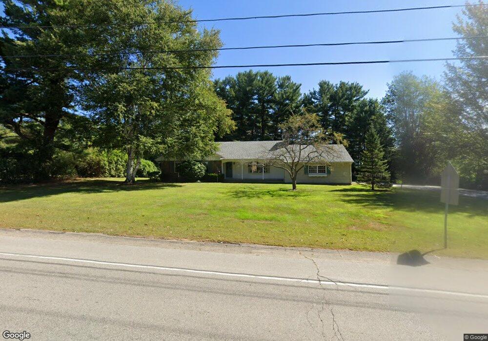
208 Dover Point Rd Dover, NH 03820
Dover Point NeighborhoodEstimated Value: $517,917 - $620,000
3
Beds
2
Baths
1,462
Sq Ft
$379/Sq Ft
Est. Value
About This Home
This home is located at 208 Dover Point Rd, Dover, NH 03820 and is currently estimated at $554,479, approximately $379 per square foot. 208 Dover Point Rd is a home located in Strafford County with nearby schools including Garrison School, Dover Middle School, and Dover Senior High School.
Ownership History
Date
Name
Owned For
Owner Type
Purchase Details
Closed on
Jul 17, 2000
Sold by
Ada J Wescott Ret
Bought by
Darcy Elisabeth
Current Estimated Value
Home Financials for this Owner
Home Financials are based on the most recent Mortgage that was taken out on this home.
Original Mortgage
$120,000
Interest Rate
8.5%
Create a Home Valuation Report for This Property
The Home Valuation Report is an in-depth analysis detailing your home's value as well as a comparison with similar homes in the area
Home Values in the Area
Average Home Value in this Area
Purchase History
| Date | Buyer | Sale Price | Title Company |
|---|---|---|---|
| Darcy Elisabeth | $270,000 | -- |
Source: Public Records
Mortgage History
| Date | Status | Borrower | Loan Amount |
|---|---|---|---|
| Open | Darcy Elisabeth | $125,000 | |
| Closed | Darcy Elisabeth | $120,000 |
Source: Public Records
Tax History
| Year | Tax Paid | Tax Assessment Tax Assessment Total Assessment is a certain percentage of the fair market value that is determined by local assessors to be the total taxable value of land and additions on the property. | Land | Improvement |
|---|---|---|---|---|
| 2024 | $9,289 | $511,200 | $176,300 | $334,900 |
| 2023 | $8,045 | $430,200 | $155,800 | $274,400 |
| 2022 | $8,097 | $408,100 | $155,800 | $252,300 |
| 2021 | $7,606 | $350,500 | $131,200 | $219,300 |
| 2020 | $7,726 | $310,900 | $131,200 | $179,700 |
| 2019 | $7,431 | $295,000 | $118,900 | $176,100 |
| 2018 | $8,206 | $329,300 | $133,600 | $195,700 |
| 2017 | $7,945 | $307,100 | $117,200 | $189,900 |
| 2016 | $7,422 | $282,300 | $109,600 | $172,700 |
| 2015 | $7,070 | $265,700 | $97,200 | $168,500 |
| 2014 | $6,911 | $265,700 | $97,200 | $168,500 |
| 2011 | $6,571 | $261,600 | $105,500 | $156,100 |
Source: Public Records
Map
Nearby Homes
- 25 Fosters Dr
- 220 Dover Point Rd
- 708 River Rd Unit 2
- 708 River Rd Unit 3
- Slip B18 Little Bay
- 21 Clearwater Dr
- 65 Polly Ann Trailer Park
- 69 Polly Ann Trailer Park
- 16 Polly Ann Park
- 18 Deborah Ln
- 41 Clearwater Dr
- 6 Isaac Lucas Cir
- 19 Lenox Dr Unit A
- 0 Cote Dr Unit 55B
- 348 Dover Point Rd
- 354 Dover Point Rd
- 6 Revolution Dr
- 14 Independence Dr
- 30 Cedar Point Rd
- 51 Constitution Way
- 210 Dover Point Rd
- 210 Dover Point Rd
- 25A Riverside Dr
- 25 Riverside Dr
- Lot 7 Shore Ln
- 204 Dover Point Rd
- 27 Riverside Dr
- 207 Dover Point Rd
- 210-1/2 Dover Point Rd
- 209 Dover Point Rd
- 15 Shore Ln
- 29 Riverside Dr
- 211 Dover Point Rd
- 8 Shore Ln
- 212 Dover Point Rd
- 2 Riverside Dr
- 10 Royer Ln
- 19 Shore Ln
- 4 Shore Ln
- 16 Riverside Dr
Your Personal Tour Guide
Ask me questions while you tour the home.