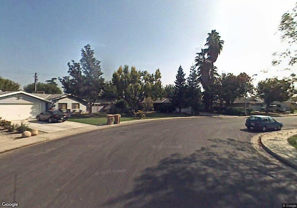
208 Hewlett St Bakersfield, CA 93309
Quailwood NeighborhoodEstimated Value: $349,000 - $389,000
3
Beds
2
Baths
1,675
Sq Ft
$220/Sq Ft
Est. Value
About This Home
This home is located at 208 Hewlett St, Bakersfield, CA 93309 and is currently estimated at $368,896, approximately $220 per square foot. 208 Hewlett St is a home located in Kern County with nearby schools including Wayne Van Horn Elementary School, O.J. Actis Junior High School, and Bakersfield High School.
Ownership History
Date
Name
Owned For
Owner Type
Purchase Details
Closed on
Apr 1, 2002
Sold by
Correll Dennis W and Correll Cynthia R
Bought by
Tenny Bernard L and Tenny Tammy J
Current Estimated Value
Home Financials for this Owner
Home Financials are based on the most recent Mortgage that was taken out on this home.
Original Mortgage
$136,680
Interest Rate
7.18%
Mortgage Type
VA
Create a Home Valuation Report for This Property
The Home Valuation Report is an in-depth analysis detailing your home's value as well as a comparison with similar homes in the area
Home Values in the Area
Average Home Value in this Area
Purchase History
| Date | Buyer | Sale Price | Title Company |
|---|---|---|---|
| Tenny Bernard L | $134,000 | Commonwealth Land Title Co |
Source: Public Records
Mortgage History
| Date | Status | Borrower | Loan Amount |
|---|---|---|---|
| Previous Owner | Tenny Bernard L | $136,680 |
Source: Public Records
Tax History Compared to Growth
Tax History
| Year | Tax Paid | Tax Assessment Tax Assessment Total Assessment is a certain percentage of the fair market value that is determined by local assessors to be the total taxable value of land and additions on the property. | Land | Improvement |
|---|---|---|---|---|
| 2025 | $3,053 | $197,931 | $49,476 | $148,455 |
| 2024 | $3,005 | $194,051 | $48,506 | $145,545 |
| 2023 | $3,005 | $190,247 | $47,555 | $142,692 |
| 2022 | $2,884 | $186,518 | $46,623 | $139,895 |
| 2021 | $2,770 | $182,861 | $45,709 | $137,152 |
| 2020 | $2,720 | $180,987 | $45,241 | $135,746 |
| 2019 | $2,685 | $180,987 | $45,241 | $135,746 |
| 2018 | $2,568 | $173,961 | $43,485 | $130,476 |
| 2017 | $2,531 | $170,551 | $42,633 | $127,918 |
| 2016 | $2,372 | $167,208 | $41,798 | $125,410 |
| 2015 | $2,351 | $164,698 | $41,171 | $123,527 |
| 2014 | $2,294 | $161,473 | $40,365 | $121,108 |
Source: Public Records
Map
Nearby Homes
- 5705 Daggett Ave
- 109 Bermuda St
- 608 Sesnon St
- 5500 Lennox Ave Unit 20
- 6201 Hartman Ave
- 6205 Hartman Ave
- 112 Angell St
- 713 Elsey St
- 400 Cherry Hills Dr
- 6104 Bel Aire Way
- 409 Bermuda St
- 5401 Dunsmuir Rd Unit 30
- 6201 Bel Aire Way
- 6216 Bel Aire Way
- 409 Cherry Hills Dr
- 6405 Desert Hills Ave
- 504 Cherry Hills Dr
- 6405 Hesketh Dr
- 5700 Cochran Dr
- 1001 Mohawk St Unit 75
- 204 Hewlett St
- 212 Hewlett St
- 200 Hewlett St
- 5701 Carissa Ave
- 5612 Carissa Ave
- 5700 Daggett Ave
- 5700 Carissa Ave
- 5705 Carissa Ave
- 5609 Kleinpell Ave
- 5613 Kleinpell Ave
- 5704 Daggett Ave
- 5704 Carissa Ave
- 116 Hewlett St
- 5701 Kleinpell Ave
- 5708 Daggett Ave
- 5709 Carissa Ave
- 5705 Kleinpell Ave
- 5701 Daggett Ave
- 5708 Carissa Ave
- 112 Hewlett St