208 Ledge Dr Torrington, CT 06790
Estimated Value: $200,491 - $244,000
2
Beds
2
Baths
1,154
Sq Ft
$192/Sq Ft
Est. Value
About This Home
This home is located at 208 Ledge Dr, Torrington, CT 06790 and is currently estimated at $221,873, approximately $192 per square foot. 208 Ledge Dr is a home located in Litchfield County with nearby schools including Torrington Middle School and Torrington High School.
Ownership History
Date
Name
Owned For
Owner Type
Purchase Details
Closed on
Sep 27, 2004
Sold by
Olson Elizabeth A
Bought by
Gusman Andrew N and Gusman Cari D
Current Estimated Value
Home Financials for this Owner
Home Financials are based on the most recent Mortgage that was taken out on this home.
Original Mortgage
$133,200
Interest Rate
5.89%
Purchase Details
Closed on
May 7, 2003
Sold by
Smee Bette F
Bought by
Olson Elizabeth
Create a Home Valuation Report for This Property
The Home Valuation Report is an in-depth analysis detailing your home's value as well as a comparison with similar homes in the area
Home Values in the Area
Average Home Value in this Area
Purchase History
| Date | Buyer | Sale Price | Title Company |
|---|---|---|---|
| Gusman Andrew N | $148,000 | -- | |
| Olson Elizabeth | $140,000 | -- |
Source: Public Records
Mortgage History
| Date | Status | Borrower | Loan Amount |
|---|---|---|---|
| Open | Olson Elizabeth | $115,250 | |
| Closed | Olson Elizabeth | $133,200 |
Source: Public Records
Tax History Compared to Growth
Tax History
| Year | Tax Paid | Tax Assessment Tax Assessment Total Assessment is a certain percentage of the fair market value that is determined by local assessors to be the total taxable value of land and additions on the property. | Land | Improvement |
|---|---|---|---|---|
| 2025 | $4,210 | $109,480 | $0 | $109,480 |
| 2024 | $2,439 | $50,850 | $0 | $50,850 |
| 2023 | $2,439 | $50,850 | $0 | $50,850 |
| 2022 | $2,397 | $50,850 | $0 | $50,850 |
| 2021 | $2,348 | $50,850 | $0 | $50,850 |
| 2020 | $2,348 | $50,850 | $0 | $50,850 |
| 2019 | $2,191 | $47,460 | $0 | $47,460 |
| 2018 | $2,191 | $47,460 | $0 | $47,460 |
| 2017 | $2,171 | $47,460 | $0 | $47,460 |
| 2016 | $2,140 | $46,780 | $0 | $46,780 |
| 2015 | $2,140 | $46,780 | $0 | $46,780 |
| 2014 | $3,767 | $103,720 | $0 | $103,720 |
Source: Public Records
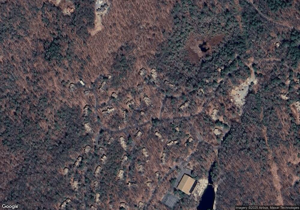
Map
Nearby Homes
- 174 Ledge Dr
- 250 Cliffside Dr
- 90 Woodside Cir
- 103 Woodside Cir
- 213 Ledge Dr Unit 213
- 239 Ledge Dr
- 225 Ledge Dr
- 133 Old Farms Rd
- 431 Trailsend Dr Unit + Garage G128
- 23 Evergreen Rd
- 418 Trailsend Dr
- 390 Trailsend Dr Unit 390
- 389 Trailsend Dr
- 274 Cliffside Dr Unit 274
- 114 Old Farms Rd
- 1167 Saw Mill Hill Rd
- 469 Platt Hill Rd
- 105,107 E Mountain Rd
- 819 E Wakefield Blvd
- 441 Platt Hill Rd
- 138 Old Farms Rd
- 37 Evergreen Rd
- 323 Cliffside Dr
- 4 Stonegate Dr
- 206 Ledge Dr
- 425 Trailsend Dr
- 34 Evergreen Rd
- 137 Old Farms Rd
- 210 Ledge Dr
- 65 Woodside Cir
- 7 Stonegate Dr
- 46 Woodside Cir
- 450 Evergreen Rd
- 163 Old Farms Rd
- 95 Woodside Cir
- 321 Cliffside Dr
- 247 Cliffside Dr
- 199 Ledge Dr
- 136 Old Farms Rd
- 36 Evergreen Rd