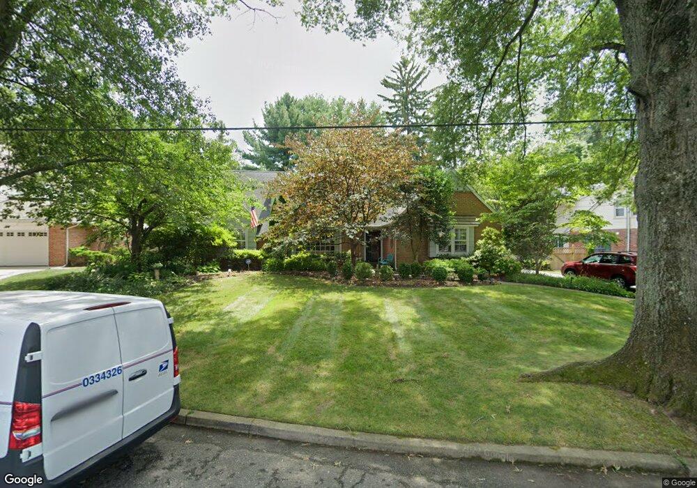
208 Moore Ln Haddonfield, NJ 08033
Estimated Value: $1,051,000 - $1,260,000
--
Bed
--
Bath
2,438
Sq Ft
$482/Sq Ft
Est. Value
About This Home
This home is located at 208 Moore Ln, Haddonfield, NJ 08033 and is currently estimated at $1,173,945, approximately $481 per square foot. 208 Moore Ln is a home located in Camden County with nearby schools including Haddonfield Memorial High School, Haddonfield Friends School, and Christ the King Regional School.
Ownership History
Date
Name
Owned For
Owner Type
Purchase Details
Closed on
May 5, 2025
Sold by
Garra Virginia J and Garra Virginia K
Bought by
Virginia J Garra Revocable Trust and Garra
Current Estimated Value
Purchase Details
Closed on
Jul 30, 2007
Sold by
Falkenberg Barry M and Falkenberg Carol A
Bought by
Garra Virginia K
Purchase Details
Closed on
Mar 15, 1995
Sold by
Rexon Samuel J
Bought by
Falkenberg Barry
Home Financials for this Owner
Home Financials are based on the most recent Mortgage that was taken out on this home.
Original Mortgage
$284,000
Interest Rate
8.8%
Mortgage Type
Purchase Money Mortgage
Create a Home Valuation Report for This Property
The Home Valuation Report is an in-depth analysis detailing your home's value as well as a comparison with similar homes in the area
Home Values in the Area
Average Home Value in this Area
Purchase History
| Date | Buyer | Sale Price | Title Company |
|---|---|---|---|
| Virginia J Garra Revocable Trust | -- | None Listed On Document | |
| Virginia J Garra Revocable Trust | -- | None Listed On Document | |
| Garra Virginia K | $710,000 | -- | |
| Falkenberg Barry | $316,000 | -- |
Source: Public Records
Mortgage History
| Date | Status | Borrower | Loan Amount |
|---|---|---|---|
| Previous Owner | Falkenberg Barry | $284,000 |
Source: Public Records
Tax History Compared to Growth
Tax History
| Year | Tax Paid | Tax Assessment Tax Assessment Total Assessment is a certain percentage of the fair market value that is determined by local assessors to be the total taxable value of land and additions on the property. | Land | Improvement |
|---|---|---|---|---|
| 2025 | $20,856 | $645,500 | $328,700 | $316,800 |
| 2024 | $20,579 | $645,500 | $328,700 | $316,800 |
| 2023 | $20,579 | $645,500 | $328,700 | $316,800 |
| 2022 | $20,417 | $645,500 | $328,700 | $316,800 |
| 2021 | $20,314 | $645,500 | $328,700 | $316,800 |
| 2020 | $20,172 | $645,500 | $328,700 | $316,800 |
| 2019 | $200 | $645,500 | $328,700 | $316,800 |
| 2018 | $19,772 | $645,500 | $328,700 | $316,800 |
| 2017 | $19,300 | $645,500 | $328,700 | $316,800 |
| 2016 | $18,868 | $645,500 | $328,700 | $316,800 |
| 2015 | $18,345 | $645,500 | $328,700 | $316,800 |
| 2014 | $19,253 | $692,800 | $328,700 | $364,100 |
Source: Public Records
Map
Nearby Homes
- 320 Warwick Rd
- 125 W Summit Ave
- 120 Kings Hwy W
- 341 Station Ave
- 33 Estaugh Ave
- 108 Avondale Ave
- 351 Bellevue Ave
- 130 Centre St
- 63 Truman Ave
- 634 W Redman Ave
- 301 Bradshaw Ave
- 107 Centre St
- 315 Peyton Ave
- 428 Mansfield Ave
- 2 Loucroft Ave
- 311 Lincoln Ave
- 315 Hutchinson Ave
- 38 Birchall Dr
- 225 Spruce St
- 412 E Summit Ave