2080 Fieldcrest Dr Bluffton, IN 46714
Estimated Value: $312,198 - $360,000
3
Beds
3
Baths
1,848
Sq Ft
$182/Sq Ft
Est. Value
About This Home
This home is located at 2080 Fieldcrest Dr, Bluffton, IN 46714 and is currently estimated at $335,550, approximately $181 per square foot. 2080 Fieldcrest Dr is a home located in Wells County with nearby schools including Norwell High School, Kingdom Academy of Bluffton, and Wesleyan Heritage Academy.
Ownership History
Date
Name
Owned For
Owner Type
Purchase Details
Closed on
Nov 21, 2007
Sold by
Molina Michael V and Molina Jennifer
Bought by
Adams Ross E and Adams Amy N
Current Estimated Value
Home Financials for this Owner
Home Financials are based on the most recent Mortgage that was taken out on this home.
Original Mortgage
$100,000
Outstanding Balance
$63,107
Interest Rate
6.33%
Mortgage Type
New Conventional
Estimated Equity
$272,443
Create a Home Valuation Report for This Property
The Home Valuation Report is an in-depth analysis detailing your home's value as well as a comparison with similar homes in the area
Home Values in the Area
Average Home Value in this Area
Purchase History
| Date | Buyer | Sale Price | Title Company |
|---|---|---|---|
| Adams Ross E | $151,500 | -- | |
| Adams Ross E | -- | None Available |
Source: Public Records
Mortgage History
| Date | Status | Borrower | Loan Amount |
|---|---|---|---|
| Open | Adams Ross E | $100,000 |
Source: Public Records
Tax History Compared to Growth
Tax History
| Year | Tax Paid | Tax Assessment Tax Assessment Total Assessment is a certain percentage of the fair market value that is determined by local assessors to be the total taxable value of land and additions on the property. | Land | Improvement |
|---|---|---|---|---|
| 2024 | $2,265 | $267,400 | $37,400 | $230,000 |
| 2023 | $1,574 | $205,900 | $37,400 | $168,500 |
| 2022 | $1,427 | $193,500 | $31,800 | $161,700 |
| 2021 | $1,255 | $181,300 | $31,800 | $149,500 |
| 2020 | $1,048 | $178,100 | $31,800 | $146,300 |
| 2019 | $1,104 | $176,100 | $21,700 | $154,400 |
| 2018 | $1,009 | $167,600 | $21,700 | $145,900 |
| 2017 | $809 | $167,600 | $21,700 | $145,900 |
| 2016 | $789 | $163,300 | $21,100 | $142,200 |
| 2014 | $685 | $141,000 | $19,600 | $121,400 |
| 2013 | $706 | $152,400 | $23,100 | $129,300 |
Source: Public Records
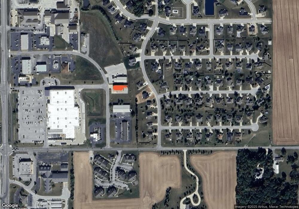
Map
Nearby Homes
- 430 Goldenrod Ct
- 444 Goldenrod Ct
- Freeport Plan at Parlor Bluffs
- Cabral Plan at Parlor Bluffs
- ELM Plan at Parlor Bluffs
- Stamford Plan at Parlor Bluffs
- Henley Plan at Parlor Bluffs
- Chatham Plan at Parlor Bluffs
- Pine Plan at Parlor Bluffs
- Taylor Plan at Parlor Bluffs
- Elder Plan at Parlor Bluffs
- Bellamy Plan at Parlor Bluffs
- Harmony Plan at Parlor Bluffs
- 630 Malfoy Ct
- 610 Malfoy Ct
- 615 Dobby Ct
- 660 Malfoy Ct
- 665 Dobby Ct
- 649 Hagrid Blvd
- 132 Ridgeview Place
- 2060 Fieldcrest Dr
- 2110 Fieldcrest Dr
- 2040 Fieldcrest Dr
- 322 Grassland Ct
- 2120 Fieldcrest Dr Unit 155
- 321 Homestead Ct
- 323 Grassland Ct
- 2020 Fieldcrest Dr
- 328 Grassland Ct
- 2035 Commerce Dr
- 327 Homestead Ct
- 2130 Fieldcrest Dr
- 2130 Fieldcrest Dr Unit 156
- 318 Goldenrod Ct
- 327 Grassland Ct
- 320 Homestead Ct
- 324 Goldenrod Ct
- 334 Grassland Ct
- 333 Homestead Ct
- 331 Grassland Ct