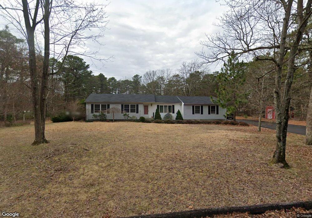
2081 Bayonne Ave Whiting, NJ 08759
Manchester Township NeighborhoodEstimated Value: $316,000 - $471,000
3
Beds
2
Baths
1,404
Sq Ft
$287/Sq Ft
Est. Value
About This Home
This home is located at 2081 Bayonne Ave, Whiting, NJ 08759 and is currently estimated at $402,369, approximately $286 per square foot. 2081 Bayonne Ave is a home located in Ocean County with nearby schools including Manchester Township High School.
Ownership History
Date
Name
Owned For
Owner Type
Purchase Details
Closed on
Nov 14, 1994
Sold by
Zimmerman William
Bought by
Irey William
Current Estimated Value
Home Financials for this Owner
Home Financials are based on the most recent Mortgage that was taken out on this home.
Original Mortgage
$65,000
Interest Rate
8.9%
Mortgage Type
FHA
Purchase Details
Closed on
Jun 19, 1985
Bought by
Irey Brian and Irey Lynne
Create a Home Valuation Report for This Property
The Home Valuation Report is an in-depth analysis detailing your home's value as well as a comparison with similar homes in the area
Home Values in the Area
Average Home Value in this Area
Purchase History
| Date | Buyer | Sale Price | Title Company |
|---|---|---|---|
| Irey William | $65,900 | -- | |
| Irey Brian | $59,900 | -- |
Source: Public Records
Mortgage History
| Date | Status | Borrower | Loan Amount |
|---|---|---|---|
| Closed | Irey William | $65,000 |
Source: Public Records
Tax History Compared to Growth
Tax History
| Year | Tax Paid | Tax Assessment Tax Assessment Total Assessment is a certain percentage of the fair market value that is determined by local assessors to be the total taxable value of land and additions on the property. | Land | Improvement |
|---|---|---|---|---|
| 2025 | $5,946 | $432,500 | $199,500 | $233,000 |
| 2024 | $5,643 | $242,200 | $87,600 | $154,600 |
| 2023 | $5,365 | $242,200 | $87,600 | $154,600 |
| 2022 | $5,365 | $242,200 | $87,600 | $154,600 |
| 2021 | $5,248 | $242,200 | $87,600 | $154,600 |
| 2020 | $5,110 | $242,200 | $87,600 | $154,600 |
| 2019 | $5,494 | $214,200 | $87,600 | $126,600 |
| 2018 | $5,473 | $214,200 | $87,600 | $126,600 |
| 2017 | $5,494 | $214,200 | $87,600 | $126,600 |
| 2016 | $5,428 | $214,200 | $87,600 | $126,600 |
| 2015 | $5,327 | $214,200 | $87,600 | $126,600 |
| 2014 | $5,218 | $214,200 | $87,600 | $126,600 |
Source: Public Records
Map
Nearby Homes
- 1 Chelsea Dr
- 11 Hartford Rd Unit 70
- 6 N Chestnut Ave
- 23 Brentwood St Unit 73
- 58 St John Place Unit C
- 53 St John Place Unit B
- 2 Verbena Ct Unit B
- 43 S Chestnut Ave Unit 72
- 70 Norwalk Ave Unit 73
- 24 Churchill Rd Sec 71
- 18 Westport Dr Unit 71
- 74 Chelsea Dr
- 27 Keene St Unit 70
- 69 Chelsea Dr Unit 72
- 21 Churchill Rd Unit 71
- 22 Hummingbird Ln Unit 73
- 36 Westport Dr
- 85 Falmouth Ave Unit 72
- 46 Keene St
- 81 Falmouth Ave Unit 72
- 1101 Monroe Ave
- 501 Monroe Ave
- 2080 New Brunswick Ave
- 3 Rose Ln
- 24 Chelsea Dr
- 24 Chelsea Dr Unit 70
- 26 Chelsea Dr
- 26 Chelsea Dr Unit 70
- 451 Monroe Ave
- 18 Chelsea Dr
- 551 Monroe Ave
- 4 Rose Ln
- 22 Chelsea Dr
- 2 Rose Ln
- 2 Rose Ln Unit 70
- 6 Rose Ln
- 28 Chelsea Dr
- 20 Chelsea Dr
- 20 Chelsea Dr Unit 70
- 16 Chelsea Dr