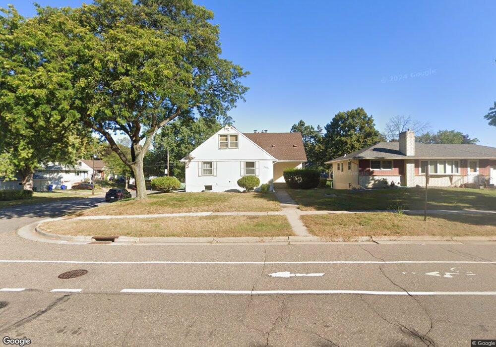
2081 Burns Ave Saint Paul, MN 55119
Battle Creek NeighborhoodEstimated Value: $309,000 - $326,974
4
Beds
3
Baths
955
Sq Ft
$334/Sq Ft
Est. Value
About This Home
This home is located at 2081 Burns Ave, Saint Paul, MN 55119 and is currently estimated at $318,494, approximately $333 per square foot. 2081 Burns Ave is a home located in Ramsey County with nearby schools including Battle Creek Elementary School, Battle Creek Middle School, and Harding Senior High School.
Ownership History
Date
Name
Owned For
Owner Type
Purchase Details
Closed on
May 7, 2013
Sold by
Whalen William William
Bought by
Whelan James James
Current Estimated Value
Home Financials for this Owner
Home Financials are based on the most recent Mortgage that was taken out on this home.
Original Mortgage
$140,000
Outstanding Balance
$98,624
Interest Rate
3.35%
Estimated Equity
$219,870
Create a Home Valuation Report for This Property
The Home Valuation Report is an in-depth analysis detailing your home's value as well as a comparison with similar homes in the area
Home Values in the Area
Average Home Value in this Area
Purchase History
| Date | Buyer | Sale Price | Title Company |
|---|---|---|---|
| Whelan James James | $140,000 | -- |
Source: Public Records
Mortgage History
| Date | Status | Borrower | Loan Amount |
|---|---|---|---|
| Open | Whelan James James | $140,000 |
Source: Public Records
Tax History Compared to Growth
Tax History
| Year | Tax Paid | Tax Assessment Tax Assessment Total Assessment is a certain percentage of the fair market value that is determined by local assessors to be the total taxable value of land and additions on the property. | Land | Improvement |
|---|---|---|---|---|
| 2025 | $4,374 | $307,300 | $38,700 | $268,600 |
| 2023 | $4,374 | $289,500 | $38,700 | $250,800 |
| 2022 | $4,176 | $282,400 | $38,700 | $243,700 |
| 2021 | $3,456 | $267,400 | $38,700 | $228,700 |
| 2020 | $3,558 | $232,900 | $38,700 | $194,200 |
| 2019 | $3,286 | $224,300 | $38,700 | $185,600 |
| 2018 | $2,692 | $206,100 | $38,700 | $167,400 |
| 2017 | $2,618 | $178,300 | $34,100 | $144,200 |
| 2016 | $2,400 | $0 | $0 | $0 |
| 2015 | $2,604 | $161,600 | $34,100 | $127,500 |
| 2014 | $2,672 | $0 | $0 | $0 |
Source: Public Records
Map
Nearby Homes
- 138 Ruth St N Unit 9
- 2059 Parkside Dr Unit 29
- 2063 N Park Dr Unit 6
- 2023 Parkside Dr
- 1989 N Park Dr
- 125 Mcknight Rd N Unit K
- 2029 Conway St
- 448 Tower St
- 1883 Garden Way
- 1991 3rd St E
- 2258 3rd St E
- 2243 3rd St E
- 38 Morningside Dr
- 125 Battle Creek Place
- 1810 Wilson Ave
- 1935 Fremont Ave E
- 2219 Cardinal Place
- 1964 4th St E
- 1747 Louise Ave
- 2168 5th St E
- 2081 Burns Ave
- 2081 2081 Burns-Avenue-
- 2087 Burns Ave
- 2086 Scenic Place
- 2079 Burns Ave
- 2082 Scenic Place
- 2093 Burns Ave
- 2090 Scenic Place
- 2090 2090 Scenic Place
- 2094 Scenic Place
- 2073 Burns Ave
- 2097 Burns Ave
- 2098 Scenic Place
- 255 Pedersen St
- 2067 Burns Ave
- 2101 Burns Ave
- 2101 2101 Burns-Avenue-
- 261 Pedersen St
- 2102 Scenic Place
- 267 Pedersen St