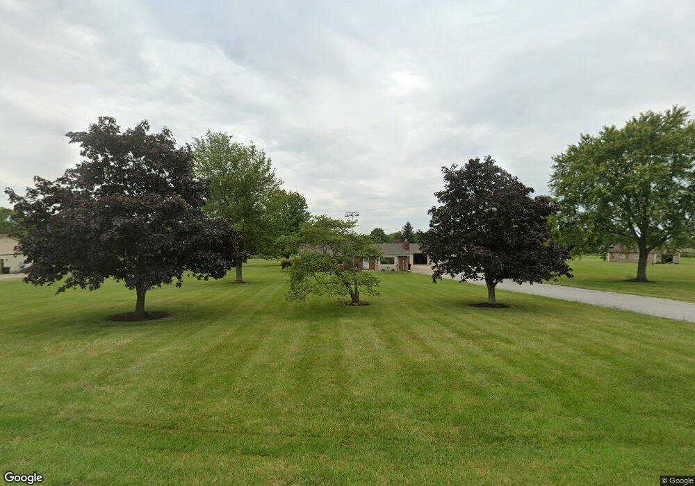
2081 Kirby Rd Lebanon, OH 45036
Turtlecreek Township NeighborhoodEstimated Value: $455,000 - $529,000
3
Beds
2
Baths
1,791
Sq Ft
$282/Sq Ft
Est. Value
About This Home
This home is located at 2081 Kirby Rd, Lebanon, OH 45036 and is currently estimated at $504,352, approximately $281 per square foot. 2081 Kirby Rd is a home located in Warren County with nearby schools including Bowman Primary School, Berry Intermediate School, and Donovan Elementary School.
Ownership History
Date
Name
Owned For
Owner Type
Purchase Details
Closed on
Jan 3, 2018
Sold by
Tewmey Wendell
Bought by
Tewmey Living Trust
Current Estimated Value
Purchase Details
Closed on
Jan 3, 2017
Sold by
Tewmey Wendell
Bought by
Tewmey Living Trust
Purchase Details
Closed on
Jul 17, 1986
Sold by
Mcclure Mcclure and Mcclure Lila Rae
Bought by
Tewmey Tewmey and Tewmey Wendell
Create a Home Valuation Report for This Property
The Home Valuation Report is an in-depth analysis detailing your home's value as well as a comparison with similar homes in the area
Home Values in the Area
Average Home Value in this Area
Purchase History
| Date | Buyer | Sale Price | Title Company |
|---|---|---|---|
| Tewmey Living Trust | -- | -- | |
| Tewmey Living Trust | -- | -- | |
| Tewmey Tewmey | $10,000 | -- |
Source: Public Records
Tax History Compared to Growth
Tax History
| Year | Tax Paid | Tax Assessment Tax Assessment Total Assessment is a certain percentage of the fair market value that is determined by local assessors to be the total taxable value of land and additions on the property. | Land | Improvement |
|---|---|---|---|---|
| 2024 | $5,324 | $133,560 | $50,830 | $82,730 |
| 2023 | $4,639 | $105,192 | $31,860 | $73,332 |
| 2022 | $4,581 | $105,193 | $31,861 | $73,332 |
| 2021 | $4,250 | $105,193 | $31,861 | $73,332 |
| 2020 | $4,149 | $85,523 | $25,904 | $59,619 |
| 2019 | $4,172 | $85,523 | $25,904 | $59,619 |
| 2018 | $3,781 | $85,523 | $25,904 | $59,619 |
| 2017 | $3,731 | $75,961 | $22,236 | $53,725 |
| 2016 | $3,857 | $75,961 | $22,236 | $53,725 |
| 2015 | $3,888 | $75,961 | $22,236 | $53,725 |
| 2014 | $3,725 | $69,680 | $21,280 | $48,400 |
| 2013 | $3,730 | $81,660 | $23,100 | $58,560 |
Source: Public Records
Map
Nearby Homes
- 2266 N St Rt 123
- 2266 N St Rt 123 Unit Site D
- 2266 Ohio 123
- 2266 Ohio 123 Unit Site C
- 2266 Ohio 123 Unit Site A
- 2266 Ohio 123 Unit Site B
- 1801 Kirby Rd
- 3562 Aniston Ct
- 0 Aniston Ct Unit 1824950
- 0 Aniston Ct
- 3092 Canvasback Ct
- 3086 Canvasback Ct
- 3080 Canvasback Ct
- 3074 Canvasback Ct
- 3626 Colton Ct
- 3095 Canvasback Ct
- 3089 Canvasback Ct
- 3083 Canvasback Ct
- 3077 Canvasback Ct
- 3071 Canvasback Ct
- 2047 Kirby Rd
- 2171 Kirby Rd
- 2400 N State Route 123
- 2018 Kirby Rd
- 1999 Kirby Rd
- 2114 Kirby Rd
- 2074 Kirby Rd
- 2172 Kirby Rd
- 1988 Kirby Rd
- 1987 Kirby Rd
- 1965 Kirby Rd
- 2106 Kirby Rd
- 2178 Kirby Rd
- 2393 N State Route 123
- 2393 N State Route 123
- 1919 Kirby Rd
- 2359 Ohio 123
- 2180 Kirby Rd
- 2359 N State Route 123
- 1901 Kirby Rd