Estimated Value: $117,804 - $142,000
--
Bed
1
Bath
1,000
Sq Ft
$129/Sq Ft
Est. Value
About This Home
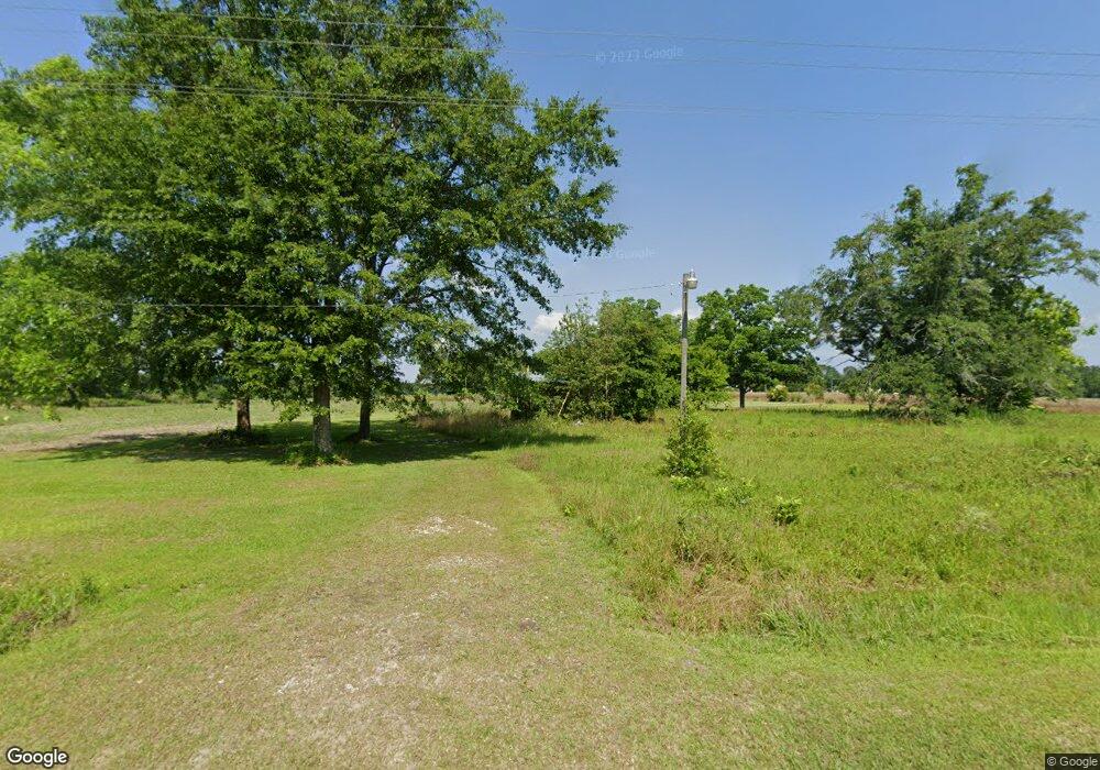
This home is located at 2081 Simmon Hill Rd, Dixie, GA 31629 and is currently estimated at $129,451, approximately $129 per square foot. 2081 Simmon Hill Rd is a home located in Brooks County with nearby schools including Quitman Elementary School and Westbrook School.
Ownership History
Date
Name
Owned For
Owner Type
Purchase Details
Closed on
Jan 21, 2003
Sold by
International Capital Development Inc
Bought by
Gosier Linda M
Current Estimated Value
Purchase Details
Closed on
Dec 2, 2002
Sold by
Hollis Dorothy
Bought by
International Capital Development Inc
Purchase Details
Closed on
Dec 2, 1988
Sold by
Bethea Jack
Bought by
Hollis Dorothy
Purchase Details
Closed on
Aug 31, 1988
Sold by
Hollis Dorothy
Bought by
Bethea Jack
Create a Home Valuation Report for This Property
The Home Valuation Report is an in-depth analysis detailing your home's value as well as a comparison with similar homes in the area
Home Values in the Area
Average Home Value in this Area
Purchase History
| Date | Buyer | Sale Price | Title Company |
|---|---|---|---|
| Gosier Linda M | $32,000 | -- | |
| International Capital Development Inc | -- | -- | |
| Hollis Dorothy | $39,000 | -- | |
| Bethea Jack | -- | -- | |
| Hollis Dorothy | -- | -- |
Source: Public Records
Tax History Compared to Growth
Tax History
| Year | Tax Paid | Tax Assessment Tax Assessment Total Assessment is a certain percentage of the fair market value that is determined by local assessors to be the total taxable value of land and additions on the property. | Land | Improvement |
|---|---|---|---|---|
| 2024 | $1,347 | $37,720 | $3,880 | $33,840 |
| 2023 | $1,282 | $35,160 | $3,360 | $31,800 |
| 2022 | $1,145 | $27,160 | $3,200 | $23,960 |
| 2021 | $996 | $23,800 | $3,120 | $20,680 |
| 2020 | $651 | $23,440 | $3,120 | $20,320 |
| 2019 | $908 | $22,240 | $3,200 | $19,040 |
| 2018 | $658 | $22,520 | $3,200 | $19,320 |
| 2017 | $857 | $21,480 | $3,200 | $18,280 |
| 2016 | $900 | $21,760 | $3,200 | $18,560 |
| 2015 | -- | $21,560 | $3,200 | $18,360 |
| 2014 | -- | $21,840 | $3,200 | $18,640 |
| 2013 | -- | $21,840 | $3,200 | $18,640 |
Source: Public Records
Map
Nearby Homes
- 0 Spencer Rd
- 2818 Dry Lake Rd
- 5199 U S 84
- 431 Dry Lake Rd
- 9900 Ozell Rd
- 2156 County Road 78
- 2434 Dunn Rd
- 1540 Dunn Rd
- 8820 Grooverville Rd
- 804 Westlake Dr
- 602 N Webster St
- 309 Eastlake Dr
- 802 W Lafayette St
- 1103 W Railroad St
- 1002 N Madison St
- 304 W Rountree St
- 302 Waterside Dr
- 606 N Court St
- 621 N Court St
- 503 N Culpepper St
- 2120 Simmon Hill Rd
- 117 Marable Ln
- 124 Marable Ln
- 2311 Simmon Hill Rd
- 1116 Spencer Rd
- 1149 Spencer Rd
- 7 Simmon Hill Rd
- 310 Burns Ln
- 310 Burns Ln
- 1767 Simmon Hill Rd
- 214 Marable Ln
- 1258 Spencer Rd
- 231 Mcgraw Dr
- 361 361 McGraw Dr
- 200 Mcgraw Dr
- 361 Mcgraw Dr
- 1377 Spencer Rd
- 2595 Simmon Hill Rd
- 1501 Simmon Hill Rd
- 1381 Simmon Hill Rd