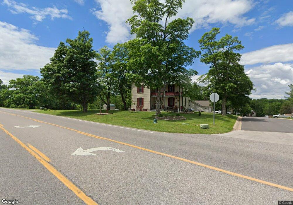
2083 Highway A Washington, MO 63090
Estimated Value: $237,000 - $353,000
3
Beds
1
Bath
1,822
Sq Ft
$158/Sq Ft
Est. Value
About This Home
This home is located at 2083 Highway A, Washington, MO 63090 and is currently estimated at $287,177, approximately $157 per square foot. 2083 Highway A is a home located in Franklin County with nearby schools including Washington High School, Immanuel Lutheran School, and Our Lady of Lourdes Catholic School.
Ownership History
Date
Name
Owned For
Owner Type
Purchase Details
Closed on
Sep 16, 2011
Sold by
Mccoy Joann and Peters Joann
Bought by
Eckelkamp Jeff W and Eckelkamp Glenda M
Current Estimated Value
Purchase Details
Closed on
Jul 6, 2010
Sold by
Mccoy Andy and Mccoy Joann
Bought by
Eckelkamp Jeff W and Eckelkamp Glenda M
Home Financials for this Owner
Home Financials are based on the most recent Mortgage that was taken out on this home.
Original Mortgage
$115,000
Interest Rate
4.77%
Mortgage Type
FHA
Create a Home Valuation Report for This Property
The Home Valuation Report is an in-depth analysis detailing your home's value as well as a comparison with similar homes in the area
Home Values in the Area
Average Home Value in this Area
Purchase History
| Date | Buyer | Sale Price | Title Company |
|---|---|---|---|
| Eckelkamp Jeff W | -- | None Available | |
| Eckelkamp Jeff W | -- | None Available |
Source: Public Records
Mortgage History
| Date | Status | Borrower | Loan Amount |
|---|---|---|---|
| Previous Owner | Eckelkamp Jeff W | $115,000 |
Source: Public Records
Tax History
| Year | Tax Paid | Tax Assessment Tax Assessment Total Assessment is a certain percentage of the fair market value that is determined by local assessors to be the total taxable value of land and additions on the property. | Land | Improvement |
|---|---|---|---|---|
| 2025 | $2,749 | $46,460 | $0 | $0 |
| 2024 | $2,749 | $45,798 | $0 | $0 |
| 2023 | $2,757 | $45,798 | $0 | $0 |
| 2022 | $2,443 | $40,535 | $0 | $0 |
| 2021 | $2,436 | $40,535 | $0 | $0 |
| 2020 | $2,353 | $37,782 | $0 | $0 |
| 2019 | $2,349 | $37,782 | $0 | $0 |
| 2018 | $2,193 | $35,031 | $0 | $0 |
| 2017 | $2,190 | $35,031 | $0 | $0 |
| 2016 | $1,631 | $26,610 | $0 | $0 |
| 2015 | $1,630 | $26,611 | $0 | $0 |
| 2014 | $1,629 | $26,611 | $0 | $0 |
Source: Public Records
Map
Nearby Homes
- 5783 Steutermann Rd
- 415 Sophia Dr
- 2006 Clark Dr
- 2206 Martina Dr
- 883 Walter Way
- 891 Walter Way
- 887 Walter Way
- 893 Walter Way
- 897 Walter Way
- 311 Meadow Dr
- 2328 Highway A
- 101 Dawn Dr
- 51 Berkshire Dr
- 288 Carriage Ct
- 10 Oxford Dr
- 1033 Bieker Rd
- 709 Ron Ave
- 7 Jason Ridge Dr
- 803 Fieldcrest Dr
- 7 Nick Ridge Dr
Your Personal Tour Guide
Ask me questions while you tour the home.