2083 Sprucefield Rd Columbus, OH 43229
Northgate NeighborhoodEstimated Value: $143,000 - $161,000
2
Beds
3
Baths
1,056
Sq Ft
$146/Sq Ft
Est. Value
About This Home
This home is located at 2083 Sprucefield Rd, Columbus, OH 43229 and is currently estimated at $154,044, approximately $145 per square foot. 2083 Sprucefield Rd is a home located in Franklin County with nearby schools including Northgate Intermediate, Alpine Elementary School, and Woodward Park Middle School.
Ownership History
Date
Name
Owned For
Owner Type
Purchase Details
Closed on
Nov 23, 2011
Sold by
The Bank Of New York Mellon Trust Compan
Bought by
Nuur Zainab S
Current Estimated Value
Purchase Details
Closed on
Nov 1, 2011
Sold by
Irwin Joel C
Bought by
The Bank Of New York Mellon Trust Compan and The Bank Of New York Trust Company Na
Purchase Details
Closed on
Feb 12, 1992
Bought by
Irwin Joel C
Purchase Details
Closed on
Mar 22, 1989
Purchase Details
Closed on
Jan 21, 1988
Create a Home Valuation Report for This Property
The Home Valuation Report is an in-depth analysis detailing your home's value as well as a comparison with similar homes in the area
Home Values in the Area
Average Home Value in this Area
Purchase History
| Date | Buyer | Sale Price | Title Company |
|---|---|---|---|
| Nuur Zainab S | $20,000 | Bxfati Box | |
| The Bank Of New York Mellon Trust Compan | $50,000 | Attorney | |
| Irwin Joel C | $55,000 | -- | |
| -- | $24,600 | -- | |
| -- | -- | -- |
Source: Public Records
Tax History
| Year | Tax Paid | Tax Assessment Tax Assessment Total Assessment is a certain percentage of the fair market value that is determined by local assessors to be the total taxable value of land and additions on the property. | Land | Improvement |
|---|---|---|---|---|
| 2025 | $2,396 | $49,010 | $9,280 | $39,730 |
| 2024 | $2,396 | $49,010 | $9,280 | $39,730 |
| 2023 | $2,368 | $49,010 | $9,280 | $39,730 |
| 2022 | $1,064 | $20,030 | $2,630 | $17,400 |
| 2021 | $1,041 | $20,030 | $2,630 | $17,400 |
| 2020 | $1,042 | $20,030 | $2,630 | $17,400 |
| 2019 | $1,215 | $20,030 | $2,630 | $17,400 |
| 2018 | $1,141 | $20,030 | $2,630 | $17,400 |
| 2017 | $1,196 | $20,030 | $2,630 | $17,400 |
| 2016 | $1,178 | $17,780 | $1,890 | $15,890 |
| 2015 | $1,069 | $17,780 | $1,890 | $15,890 |
| 2014 | $1,072 | $17,780 | $1,890 | $15,890 |
| 2013 | $587 | $19,740 | $2,100 | $17,640 |
Source: Public Records
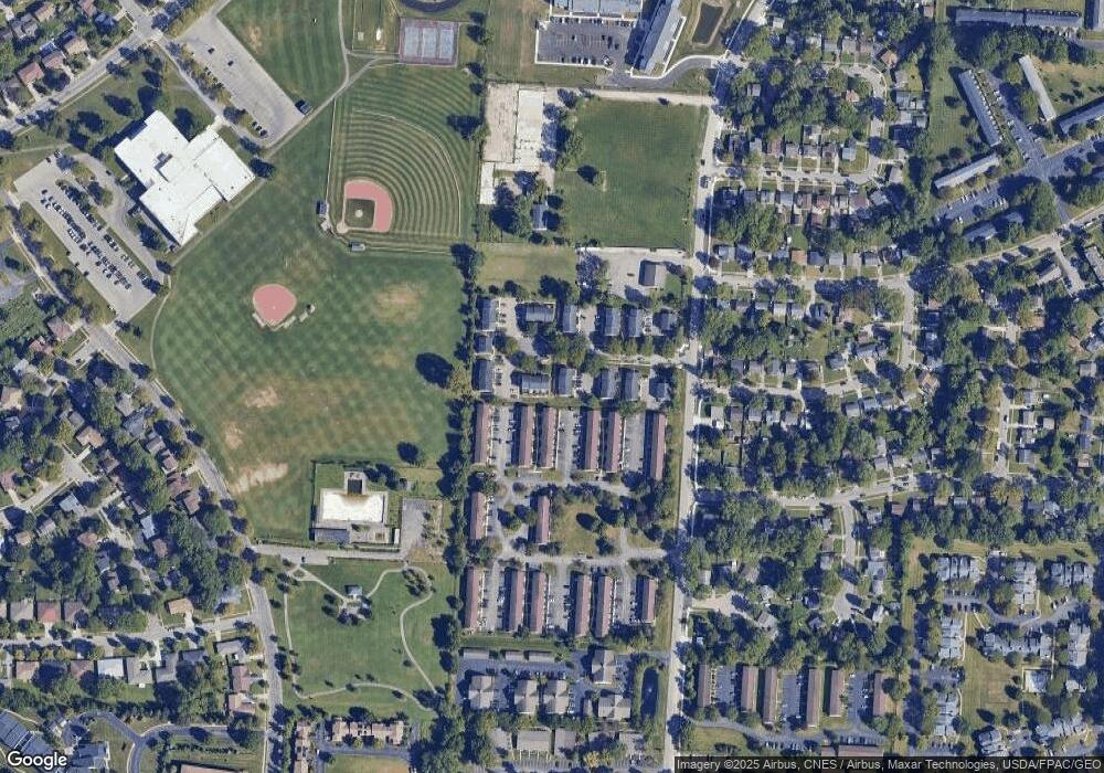
Map
Nearby Homes
- 6245 Sharon Woods Blvd
- 2197 Bayfield Dr
- 5885 Beechcroft Rd Unit 116
- 5885 Beechcroft Rd Unit 313
- 6048 Pinemoor St
- 2292 Laurelwood Dr Unit 2292L
- 2470 Carolina Ave Unit 66
- 1281 Home Acre Dr
- 6142 Laurelwood Ct Unit 144
- 5732 Beechcroft Rd Unit B
- 5726 Beechcroft Rd Unit J
- 1679 Peardale Rd N
- 5570 Maple Canyon Ave
- 2623 Blendon Woods Blvd
- 5762 Pine Tree St W Unit D
- 1947 Rockdale Dr Unit 33
- 5556 Parkshire Dr Unit 5556
- 6035 Karl Rd
- 5491 Parkshire Dr Unit 5491
- 6336 Archmere Square E
- 2081 Sprucefield Rd Unit 2081
- 2085 Sprucefield Rd Unit 2085
- 2079 Sprucefield Rd
- 2091 Sprucefield Rd
- 2093 Sprucefield Rd Unit 2093
- 2089 Sprucefield Dr
- 2095 Sprucefield Dr
- 2089 Sprucefield Rd Unit 2089
- 2095 Sprucefield Rd Unit 2095
- 2073 Sprucefield Rd
- 2069 Sprucefield Rd
- 2073 Sprucefield Dr
- 2071 Sprucefield Rd
- 2075 Sprucefield Rd Unit 2075
- 2061 Sprucefield Rd Unit 2061
- 2059 Sprucefield Rd Unit 2059
- 2088 Sprucefield Rd Unit 2088
- 2084 Sprucefield Rd
- 2078 Sprucefield Rd Unit 2078
- 2103 Sprucefield Rd
Your Personal Tour Guide
Ask me questions while you tour the home.