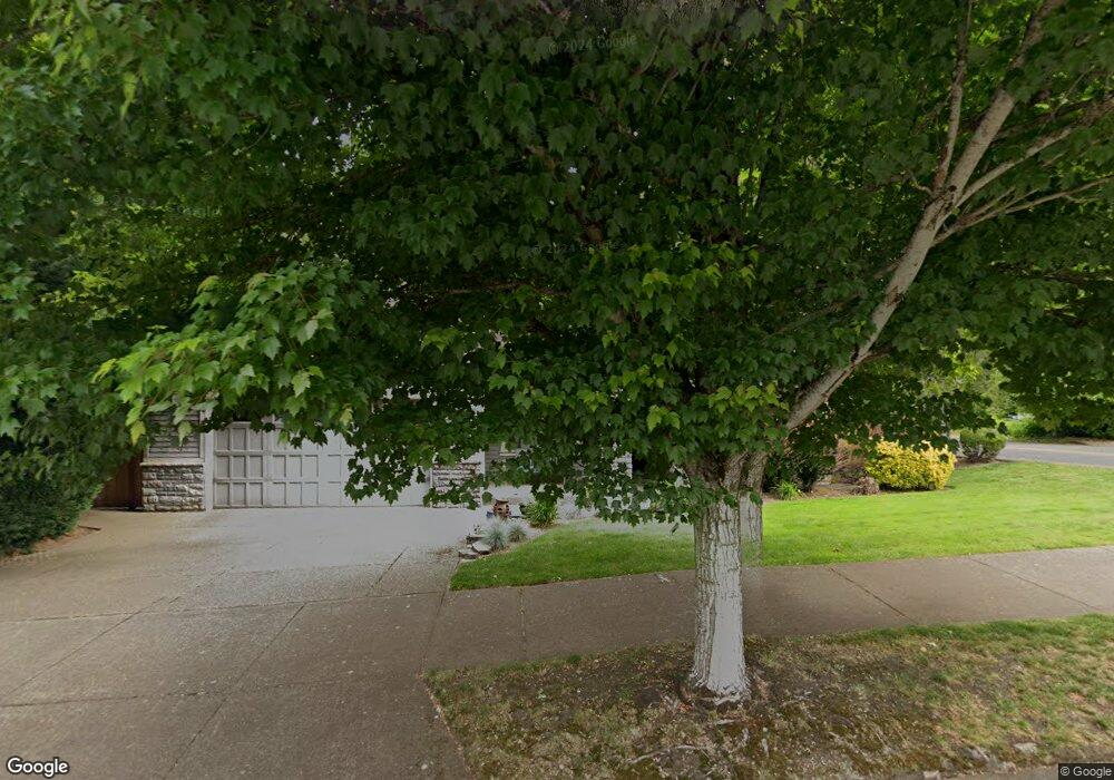
2086 Fields Dr West Linn, OR 97068
Willamette NeighborhoodEstimated Value: $1,011,000 - $1,130,000
4
Beds
3
Baths
3,474
Sq Ft
$308/Sq Ft
Est. Value
About This Home
This home is located at 2086 Fields Dr, West Linn, OR 97068 and is currently estimated at $1,068,971, approximately $307 per square foot. 2086 Fields Dr is a home located in Clackamas County with nearby schools including Willamette Primary School, Athey Creek Middle School, and West Linn High School.
Ownership History
Date
Name
Owned For
Owner Type
Purchase Details
Closed on
Aug 6, 2007
Sold by
Tyra Matthew and Tyra Michele
Bought by
Robin Paul J and Robin Fern D
Current Estimated Value
Home Financials for this Owner
Home Financials are based on the most recent Mortgage that was taken out on this home.
Original Mortgage
$560,000
Outstanding Balance
$354,563
Interest Rate
6.75%
Mortgage Type
Purchase Money Mortgage
Estimated Equity
$714,408
Purchase Details
Closed on
Jan 26, 2006
Sold by
Icon Construction & Development Llc
Bought by
Tyra Matthew and Tyra Michele
Home Financials for this Owner
Home Financials are based on the most recent Mortgage that was taken out on this home.
Original Mortgage
$126,000
Interest Rate
5.82%
Mortgage Type
Stand Alone Second
Create a Home Valuation Report for This Property
The Home Valuation Report is an in-depth analysis detailing your home's value as well as a comparison with similar homes in the area
Home Values in the Area
Average Home Value in this Area
Purchase History
| Date | Buyer | Sale Price | Title Company |
|---|---|---|---|
| Robin Paul J | $700,000 | Fidelity Natl Title Co Of Or | |
| Tyra Matthew | $630,000 | Fidelity Natl Title Co Of Or |
Source: Public Records
Mortgage History
| Date | Status | Borrower | Loan Amount |
|---|---|---|---|
| Open | Robin Paul J | $560,000 | |
| Previous Owner | Tyra Matthew | $126,000 | |
| Previous Owner | Tyra Matthew | $504,000 |
Source: Public Records
Tax History Compared to Growth
Tax History
| Year | Tax Paid | Tax Assessment Tax Assessment Total Assessment is a certain percentage of the fair market value that is determined by local assessors to be the total taxable value of land and additions on the property. | Land | Improvement |
|---|---|---|---|---|
| 2025 | $11,846 | $614,677 | -- | -- |
| 2024 | $11,402 | $596,774 | -- | -- |
| 2023 | $11,402 | $579,393 | $0 | $0 |
| 2022 | $10,762 | $562,518 | $0 | $0 |
| 2021 | $10,216 | $546,134 | $0 | $0 |
| 2020 | $10,286 | $530,228 | $0 | $0 |
| 2019 | $9,809 | $514,785 | $0 | $0 |
| 2018 | $9,360 | $499,791 | $0 | $0 |
| 2017 | $8,872 | $485,234 | $0 | $0 |
| 2016 | $8,610 | $471,101 | $0 | $0 |
| 2015 | $8,023 | $457,380 | $0 | $0 |
| 2014 | $7,679 | $444,058 | $0 | $0 |
Source: Public Records
Map
Nearby Homes
- 1075 Epperly Way
- 812 Wendy Ct
- 1160 Blankenship Rd
- 1765 Ostman Rd
- 2250 River Heights Cir
- 1101 Ryan Ct
- 1733 Jamie Cir
- 1694 16th St
- 1721 Dollar St Unit 1721
- 1690 16th St
- 975 Springtree Ln
- 640 Springtree Ln
- 880 Springtree Ln Unit 880
- 850 Springtree Ln Unit 850
- 2420 Margery St
- 25545 Katherine Ct
- 1931 13th St
- 3565 Summerlinn Dr Unit 64
- 3395 Summerlinn Dr Unit 24
- 1640 Village Park Place
- 2074 Fields Dr
- 2160 Ostman Rd
- 2062 Fields Dr
- 2202 Michael Dr
- 2145 Ostman Rd
- 2087 Fields Dr
- 2071 Fields Dr
- 1106 Short St
- 2050 Fields Dr
- 2025 Fields Dr
- 2204 Michael Dr
- 1100 Douglas Dr
- 2190 Ostman Rd
- 2013 Fields Dr
- 2076 Ostman Rd
- 1118 Short St
- 1125 Douglas Dr
- 1110 Douglas Dr
- 2048 Fields Dr
- 2211 Michael Dr