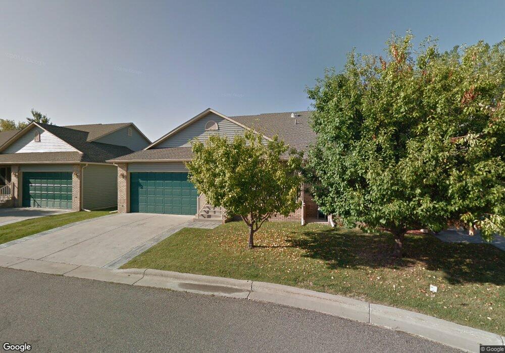
2086 Swanson Ln Billings, MT 59102
North Central Billings NeighborhoodEstimated Value: $335,000 - $400,000
4
Beds
3
Baths
1,240
Sq Ft
$298/Sq Ft
Est. Value
About This Home
This home is located at 2086 Swanson Ln, Billings, MT 59102 and is currently estimated at $369,807, approximately $298 per square foot. 2086 Swanson Ln is a home located in Yellowstone County with nearby schools including Arrowhead School, Ben Steele Middle School, and Billings West High School.
Ownership History
Date
Name
Owned For
Owner Type
Purchase Details
Closed on
Feb 1, 2013
Sold by
Schanck Norma J
Bought by
Schanck Norma J and Schanck Karl J
Current Estimated Value
Home Financials for this Owner
Home Financials are based on the most recent Mortgage that was taken out on this home.
Original Mortgage
$65,500
Outstanding Balance
$12,871
Interest Rate
3.32%
Mortgage Type
New Conventional
Estimated Equity
$356,936
Purchase Details
Closed on
Sep 12, 2007
Sold by
Donaldson Carol Stephens
Bought by
Schanck Norma J
Home Financials for this Owner
Home Financials are based on the most recent Mortgage that was taken out on this home.
Original Mortgage
$166,800
Outstanding Balance
$106,146
Interest Rate
6.67%
Mortgage Type
Purchase Money Mortgage
Estimated Equity
$263,661
Create a Home Valuation Report for This Property
The Home Valuation Report is an in-depth analysis detailing your home's value as well as a comparison with similar homes in the area
Home Values in the Area
Average Home Value in this Area
Purchase History
| Date | Buyer | Sale Price | Title Company |
|---|---|---|---|
| Schanck Norma J | -- | Chicago Title | |
| Schanck Norma J | -- | None Available |
Source: Public Records
Mortgage History
| Date | Status | Borrower | Loan Amount |
|---|---|---|---|
| Open | Schanck Norma J | $65,500 | |
| Open | Schanck Norma J | $166,800 |
Source: Public Records
Tax History Compared to Growth
Tax History
| Year | Tax Paid | Tax Assessment Tax Assessment Total Assessment is a certain percentage of the fair market value that is determined by local assessors to be the total taxable value of land and additions on the property. | Land | Improvement |
|---|---|---|---|---|
| 2025 | $983 | $408,200 | $50,803 | $357,397 |
| 2024 | $983 | $393,090 | $68,780 | $324,310 |
| 2023 | $2,962 | $358,700 | $34,390 | $324,310 |
| 2022 | $1,415 | $272,800 | $27,958 | $244,842 |
| 2021 | $1,919 | $272,800 | $0 | $0 |
| 2020 | $2,807 | $248,500 | $0 | $0 |
| 2019 | $2,680 | $248,500 | $0 | $0 |
| 2018 | $2,638 | $240,100 | $0 | $0 |
| 2017 | $2,560 | $240,100 | $0 | $0 |
| 2016 | $2,308 | $215,600 | $0 | $0 |
| 2015 | $2,230 | $215,600 | $0 | $0 |
| 2014 | $2,146 | $110,505 | $0 | $0 |
Source: Public Records
Map
Nearby Homes
- 2020 Swanson Ln
- 2213 Westfield Dr
- 2301 Elsa Dr
- 4044 Backwoods Dr
- 3865 Avenue C
- 3720 Parkhill Dr
- 3743 Hayden Dr
- 1818 Tiburon Ln
- 4342 Rangeview Dr
- 1747 Tiburon Ln
- 1713 Tiburon Ln
- 3928 Audubon Way
- TBD Rimrock Rd
- 2280 Ridgewood Ln S
- 3654 Donna Dr
- 3935 Pine Cove Rd
- 3210 40th St W
- 4204 Pine Cove Rd
- 3303 Flamingo Way
- 5073 Audubon Way
- 2088 Swanson Ln
- 2084 Swanson Ln
- 2082 Swanson Ln
- 3959 Fairmeadow Dr
- 2070 Swanson Ln
- 2072 Swanson Ln
- 2080 Swanson Ln
- 2078 Swanson Ln
- 2074 Swanson Ln
- 2028 Swanson Ln
- 2076 Swanson Ln
- 2026 Swanson Ln
- 2032 Swanson Ln
- 3939 Fairmeadow Dr
- 2030 Swanson Ln
- 2061 Swanson Ln
- 2012 Swanson Ln
- 3929 Fairmeadow Dr
- 2010 Swanson Ln
- 2014 Swanson Ln