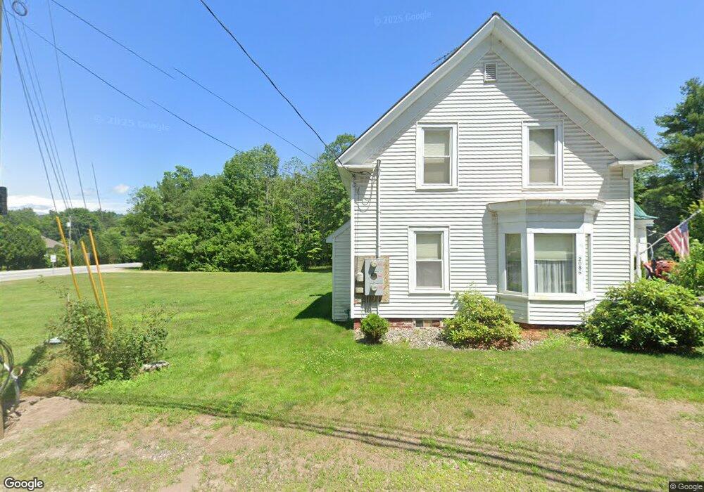
2086 Us Route 3 Campton, NH 03223
Estimated Value: $332,000 - $474,000
3
Beds
1
Bath
1,803
Sq Ft
$229/Sq Ft
Est. Value
About This Home
This home is located at 2086 Us Route 3, Campton, NH 03223 and is currently estimated at $412,146, approximately $228 per square foot. 2086 Us Route 3 is a home located in Grafton County with nearby schools including Campton Elementary School and Plymouth Regional High School.
Ownership History
Date
Name
Owned For
Owner Type
Purchase Details
Closed on
Aug 5, 2013
Sold by
Laitinen Leena M
Bought by
Coit Daniel X and Tickell Anne E
Current Estimated Value
Home Financials for this Owner
Home Financials are based on the most recent Mortgage that was taken out on this home.
Original Mortgage
$137,920
Outstanding Balance
$100,738
Interest Rate
3.95%
Estimated Equity
$311,408
Purchase Details
Closed on
Jul 21, 2004
Sold by
Papio Joseph A
Bought by
Carnevale Peter A
Create a Home Valuation Report for This Property
The Home Valuation Report is an in-depth analysis detailing your home's value as well as a comparison with similar homes in the area
Home Values in the Area
Average Home Value in this Area
Purchase History
| Date | Buyer | Sale Price | Title Company |
|---|---|---|---|
| Coit Daniel X | $150,000 | -- | |
| Carnevale Peter A | $149,900 | -- |
Source: Public Records
Mortgage History
| Date | Status | Borrower | Loan Amount |
|---|---|---|---|
| Open | Carnevale Peter A | $137,920 |
Source: Public Records
Tax History
| Year | Tax Paid | Tax Assessment Tax Assessment Total Assessment is a certain percentage of the fair market value that is determined by local assessors to be the total taxable value of land and additions on the property. | Land | Improvement |
|---|---|---|---|---|
| 2024 | $6,241 | $362,400 | $145,000 | $217,400 |
| 2023 | $5,924 | $205,900 | $69,000 | $136,900 |
| 2022 | $5,203 | $205,900 | $69,000 | $136,900 |
| 2021 | $5,141 | $205,900 | $69,000 | $136,900 |
| 2020 | $4,997 | $205,900 | $69,000 | $136,900 |
| 2019 | $4,779 | $205,900 | $69,000 | $136,900 |
| 2018 | $4,054 | $158,800 | $55,000 | $103,800 |
| 2017 | $3,752 | $151,300 | $55,000 | $96,300 |
| 2016 | $3,615 | $151,300 | $55,000 | $96,300 |
| 2015 | $3,466 | $151,300 | $55,000 | $96,300 |
| 2014 | $3,549 | $151,300 | $55,000 | $96,300 |
| 2013 | $3,446 | $172,400 | $57,400 | $115,000 |
Source: Public Records
Map
Nearby Homes
- 21 Turkey Jim Rd
- 51 Turkey Jim Rd
- 73 Ellsworth Hill Rd
- 82 Sunset Cir
- 17 Rising Ridge Rd Unit 3
- 1 Lilac Ln
- Lot 6 Rising Ridge Rd
- 1024 Nh Route 175
- 311 Ellsworth Hill Rd
- 4 Seven Sisters Cir
- 6 SW Spur Rd
- 399 Nh Route 49
- 115 Adams Farm Rd
- 372 Owl St
- 32 Merrill Rd
- 2 Benjamin Ln Unit 38
- 383 Owl St
- 1246 New Hampshire Route 175
- 1354 Nh Route 175
- 22 Deacon Willey Rd
- 2086 Us Route 3
- 2086 U S 3
- 2085 Us Route 3
- 2092 U S 3
- 28 Nh Route 49
- 2100 Us Route 3
- 53 Dan Web Rd
- 2072 Us Route 3
- 23 Route 49 Unit 1
- 23 Nh Route 49 Unit 8
- 23 Nh Route 49 Unit 13
- 23-1 Nh Route 49 Unit 1
- 23 Nh Route 49 Unit 2
- 23 Nh Route 49 Unit 16
- 23 Nh Route 49 Unit 5
- 23 Nh Route 49 Unit 7
- 23 Nh Route 49 Unit 15
- 23 Nh Route 49 Unit 8
- 23 New Hampshire 49
Your Personal Tour Guide
Ask me questions while you tour the home.