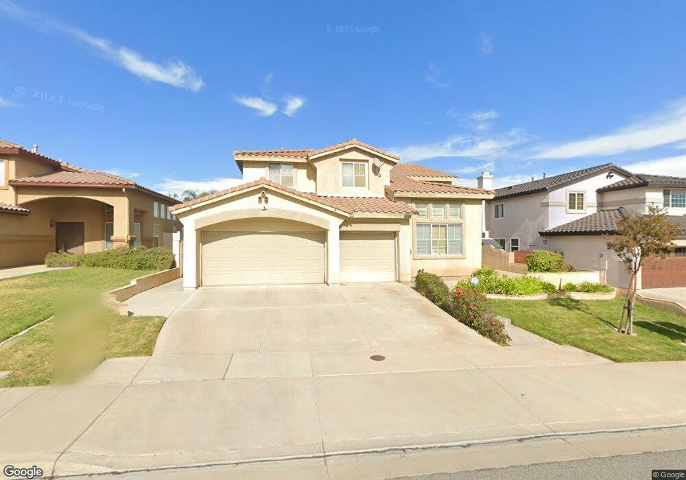
20870 Oakdale Ln Riverside, CA 92508
Orangecrest NeighborhoodEstimated Value: $789,123 - $893,000
5
Beds
3
Baths
3,270
Sq Ft
$254/Sq Ft
Est. Value
About This Home
This home is located at 20870 Oakdale Ln, Riverside, CA 92508 and is currently estimated at $831,531, approximately $254 per square foot. 20870 Oakdale Ln is a home located in Riverside County with nearby schools including Tomas Rivera Elementary School, Amelia Earhart Middle School, and Martin Luther King Junior High School.
Ownership History
Date
Name
Owned For
Owner Type
Purchase Details
Closed on
Dec 29, 1997
Sold by
L & W Investments Inc
Bought by
Gordon Kenneth F and Gordon Carolyn J
Current Estimated Value
Home Financials for this Owner
Home Financials are based on the most recent Mortgage that was taken out on this home.
Original Mortgage
$209,900
Interest Rate
7.07%
Create a Home Valuation Report for This Property
The Home Valuation Report is an in-depth analysis detailing your home's value as well as a comparison with similar homes in the area
Home Values in the Area
Average Home Value in this Area
Purchase History
| Date | Buyer | Sale Price | Title Company |
|---|---|---|---|
| Gordon Kenneth F | $221,500 | Lawyers Title Company |
Source: Public Records
Mortgage History
| Date | Status | Borrower | Loan Amount |
|---|---|---|---|
| Previous Owner | Gordon Kenneth F | $209,900 |
Source: Public Records
Tax History Compared to Growth
Tax History
| Year | Tax Paid | Tax Assessment Tax Assessment Total Assessment is a certain percentage of the fair market value that is determined by local assessors to be the total taxable value of land and additions on the property. | Land | Improvement |
|---|---|---|---|---|
| 2025 | $3,775 | $352,845 | $71,829 | $281,016 |
| 2023 | $3,775 | $339,145 | $69,041 | $270,104 |
| 2022 | $3,687 | $332,496 | $67,688 | $264,808 |
| 2021 | $3,642 | $325,977 | $66,361 | $259,616 |
| 2020 | $3,614 | $322,635 | $65,681 | $256,954 |
| 2019 | $3,545 | $316,310 | $64,394 | $251,916 |
| 2018 | $3,475 | $310,109 | $63,133 | $246,976 |
| 2017 | $3,619 | $304,030 | $61,896 | $242,134 |
| 2016 | $3,490 | $298,070 | $60,683 | $237,387 |
| 2015 | $3,459 | $293,594 | $59,772 | $233,822 |
| 2014 | $3,463 | $287,845 | $58,602 | $229,243 |
Source: Public Records
Map
Nearby Homes
- 20895 Parish Place
- 20681 Stony Brook Cir
- 8518 Yarrow Ln
- 20858 Bakal Dr
- 20890 Westbury Rd
- 20611 Bakal Dr
- 20425 Tobira Ln
- 20800 Indigo Point
- 20642 Iris Canyon Rd
- 8309 Clover Creek Rd
- 20241 Edmund Rd
- 8962 Morning Hills Dr
- 8751 Rosebay Ct
- 8873 Gumtree Ln
- 20101 Sedona Dr
- 0 Barton St
- 19791 Paso Robles Dr
- 0 Old Frontage Rd Unit OC25137111
- 0 Apn#267-180-003 Unit CV22145370
- 19458 Hebron Ct
- 20878 Oakdale Ln
- 20864 Oakdale Ln
- 20856 Oakdale Ln
- 20871 Hartsdale Dr
- 20886 Oakdale Ln
- 20879 Hartsdale Dr
- 20865 Hartsdale Dr
- 20887 Hartsdale Dr
- 20842 Oakdale Ln
- 20857 Hartsdale Dr
- 20879 Oakdale Ln
- 20871 Oakdale Ln
- 20865 Oakdale Ln
- 20887 Oakdale Ln
- 20855 Oakdale Ln
- 20843 Hartsdale Dr
- 20830 Oakdale Ln
- 20841 Oakdale Ln
- 8819 Greenlawn St
- 20839 Hartsdale Dr