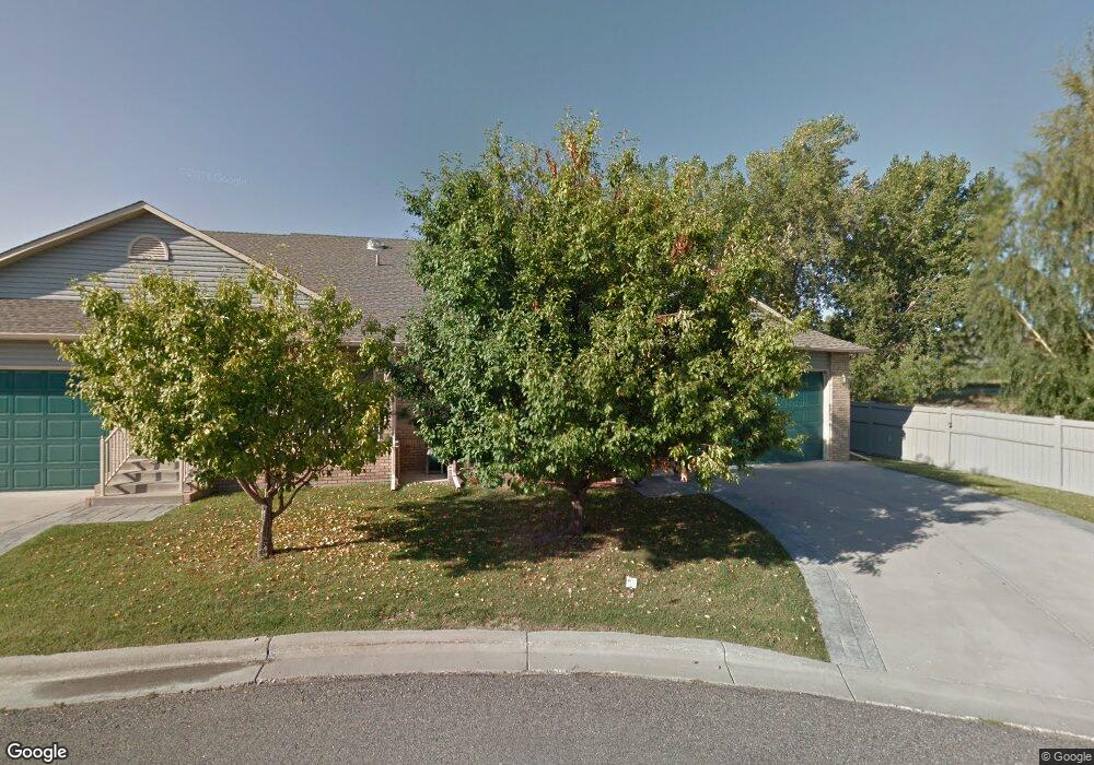
2088 Swanson Ln Billings, MT 59102
North Central Billings NeighborhoodEstimated Value: $396,000 - $402,876
4
Beds
3
Baths
2,480
Sq Ft
$161/Sq Ft
Est. Value
About This Home
This home is located at 2088 Swanson Ln, Billings, MT 59102 and is currently estimated at $398,469, approximately $160 per square foot. 2088 Swanson Ln is a home located in Yellowstone County with nearby schools including Arrowhead School, Ben Steele Middle School, and Billings West High School.
Ownership History
Date
Name
Owned For
Owner Type
Purchase Details
Closed on
Oct 25, 2021
Sold by
Stanaway Jo Ann N
Bought by
Stimpson Karen
Current Estimated Value
Home Financials for this Owner
Home Financials are based on the most recent Mortgage that was taken out on this home.
Original Mortgage
$284,000
Outstanding Balance
$259,543
Interest Rate
2.8%
Mortgage Type
New Conventional
Estimated Equity
$138,926
Create a Home Valuation Report for This Property
The Home Valuation Report is an in-depth analysis detailing your home's value as well as a comparison with similar homes in the area
Home Values in the Area
Average Home Value in this Area
Purchase History
| Date | Buyer | Sale Price | Title Company |
|---|---|---|---|
| Stimpson Karen | -- | First Montana Title Co |
Source: Public Records
Mortgage History
| Date | Status | Borrower | Loan Amount |
|---|---|---|---|
| Open | Stimpson Karen | $284,000 |
Source: Public Records
Tax History
| Year | Tax Paid | Tax Assessment Tax Assessment Total Assessment is a certain percentage of the fair market value that is determined by local assessors to be the total taxable value of land and additions on the property. | Land | Improvement |
|---|---|---|---|---|
| 2025 | $3,514 | $408,200 | $50,803 | $357,397 |
| 2024 | $3,514 | $358,700 | $34,390 | $324,310 |
| 2023 | $3,491 | $358,700 | $34,390 | $324,310 |
| 2022 | $3,038 | $272,800 | $0 | $0 |
| 2021 | $2,875 | $272,800 | $0 | $0 |
| 2020 | $2,807 | $248,500 | $0 | $0 |
| 2019 | $2,680 | $248,500 | $0 | $0 |
| 2018 | $2,638 | $240,100 | $0 | $0 |
| 2017 | $2,222 | $240,100 | $0 | $0 |
| 2016 | $2,308 | $215,600 | $0 | $0 |
| 2015 | $2,230 | $215,600 | $0 | $0 |
| 2014 | $2,047 | $101,866 | $0 | $0 |
Source: Public Records
Map
Nearby Homes
- 2213 Westfield Dr
- 2301 Elsa Dr
- 3854 Avenue E
- 4044 Backwoods Dr
- 3759 Poly Dr
- 2605 Westfield Dr
- 1747 Tiburon Ln
- 1713 Tiburon Ln
- 2631 Country Ln
- 3617 Marjorie Dr
- 3023 Melrose Ln
- 3503 Poly Dr
- 3957 Palisades Park Dr
- 3441 Poly Dr Unit 15
- 4022 Laredo Place
- 5097 Audubon Way
- 5045 Audubon Way
- 2510 Zimmerman Trail
- 1990 Weston Dr
- 2509 Zimmerman Trail
- 2086 Swanson Ln
- 2084 Swanson Ln
- 3959 Fairmeadow Dr
- 2082 Swanson Ln
- 2070 Swanson Ln
- 2072 Swanson Ln
- 2080 Swanson Ln
- 2078 Swanson Ln
- 2074 Swanson Ln
- 2028 Swanson Ln
- 3939 Fairmeadow Dr
- 2076 Swanson Ln
- 2026 Swanson Ln
- 2032 Swanson Ln
- 2061 Swanson Ln
- 2030 Swanson Ln
- 3929 Fairmeadow Dr
- 2010 Swanson Ln
- 2012 Swanson Ln
- 3940 Fairmeadow Dr