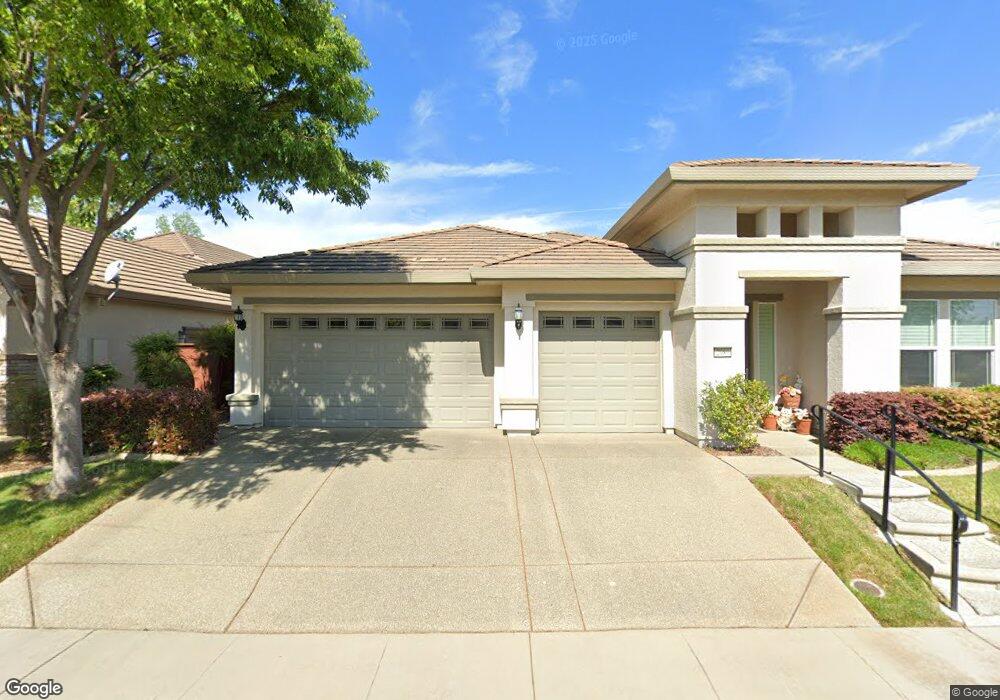
2089 Devonport Loop Roseville, CA 95747
Estimated Value: $707,000 - $910,000
3
Beds
3
Baths
2,732
Sq Ft
$285/Sq Ft
Est. Value
About This Home
This home is located at 2089 Devonport Loop, Roseville, CA 95747 and is currently estimated at $779,563, approximately $285 per square foot. 2089 Devonport Loop is a home located in Placer County with nearby schools including Junction Elementary, Barbara Chilton Middle School, and West Park High School.
Ownership History
Date
Name
Owned For
Owner Type
Purchase Details
Closed on
Mar 26, 2009
Sold by
Pulte Home Corporation
Bought by
Guetersloh Harold J and Guetersloh Coral J
Current Estimated Value
Home Financials for this Owner
Home Financials are based on the most recent Mortgage that was taken out on this home.
Original Mortgage
$351,992
Interest Rate
4.79%
Mortgage Type
Purchase Money Mortgage
Create a Home Valuation Report for This Property
The Home Valuation Report is an in-depth analysis detailing your home's value as well as a comparison with similar homes in the area
Home Values in the Area
Average Home Value in this Area
Purchase History
| Date | Buyer | Sale Price | Title Company |
|---|---|---|---|
| Guetersloh Harold J | $440,000 | First American Title Company |
Source: Public Records
Mortgage History
| Date | Status | Borrower | Loan Amount |
|---|---|---|---|
| Closed | Guetersloh Harold J | $351,992 |
Source: Public Records
Tax History
| Year | Tax Paid | Tax Assessment Tax Assessment Total Assessment is a certain percentage of the fair market value that is determined by local assessors to be the total taxable value of land and additions on the property. | Land | Improvement |
|---|---|---|---|---|
| 2025 | $8,402 | $566,587 | $115,891 | $450,696 |
| 2023 | $8,402 | $544,588 | $111,392 | $433,196 |
| 2022 | $8,178 | $533,910 | $109,208 | $424,702 |
| 2021 | $7,978 | $523,442 | $107,067 | $416,375 |
| 2020 | $7,821 | $518,076 | $105,970 | $412,106 |
| 2019 | $7,630 | $507,919 | $103,893 | $404,026 |
| 2018 | $7,434 | $497,960 | $101,856 | $396,104 |
| 2017 | $7,308 | $488,197 | $99,859 | $388,338 |
| 2016 | $7,319 | $478,625 | $97,901 | $380,724 |
| 2015 | $7,197 | $471,437 | $96,431 | $375,006 |
| 2014 | $7,123 | $462,204 | $94,543 | $367,661 |
Source: Public Records
Map
Nearby Homes
- 3201 Monument Dr
- 2446 Langtree Dr
- 2128 Land End Loop
- 2096 Land End Loop
- 3040 Village Plaza Dr
- 5297 Angelrock Loop
- 5224 Dreamgarden Loop
- 2112 Leighham Dr
- 1037 Billington Ln
- 1041 Essington Ln
- 2032 Brixham Dr
- 2160 Arlington Dr
- 2209 Coryton Ln
- 2120 Arlington Dr
- 5072 Dreamgarden Loop
- 1960 Culverhill Way
- 3241 Village Center Dr
- 2401 Pleasant Grove Blvd
- 6108 Granite Flat Ln
- 4796 Mount Rose Way
- 2081 Devonport Loop
- 2108 Brandsby Ln
- 2057 Devonport Loop
- 2097 Devonport Loop
- 2080 Devonport Loop
- 2088 Devonport Loop
- 2072 Devonport Loop
- 2064 Devonport Loop
- 2096 Devonport Loop
- 2040 Cove Ln
- 2049 Devonport Loop
- 2056 Devonport Loop
- 2105 Devonport Loop
- 108 Cove Ct
- 2048 Devonport Loop
- 2032 Cove Ln
- 2041 Devonport Loop
- 101 Cove Ct
- 2104 Devonport Loop
- 2040 Devonport Loop
Your Personal Tour Guide
Ask me questions while you tour the home.