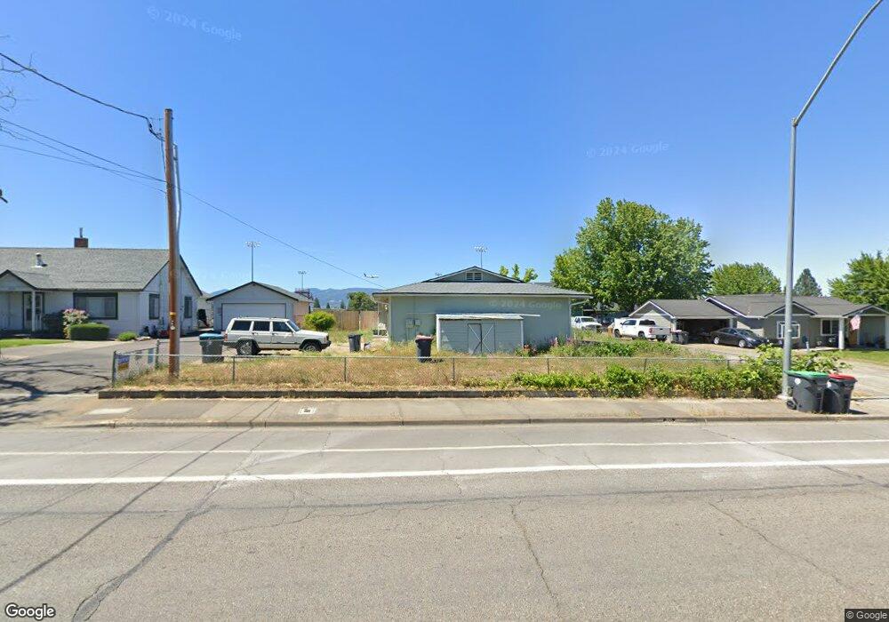
2089 Springbrook Rd Medford, OR 97504
Estimated Value: $369,000 - $386,000
About This Home
This home is located at 2089 Springbrook Rd, Medford, OR 97504 and is currently estimated at $376,465, approximately $267 per square foot. 2089 Springbrook Rd is a home located in Jackson County with nearby schools including Kennedy Elementary School, Hedrick Middle School, and North Medford High School.
Ownership History
We collect this data history from publicly available records. To have your information removed, we recommend requesting removal directly through your county’s website.
Purchase Details
Purchase Details
Home Financials for this Owner
Home Financials are based on the most recent Mortgage that was taken out on this home.Purchase History
We collect this data history from publicly available records. To have your information removed, we recommend requesting removal directly through your county’s website.
| Date | Buyer | Sale Price | Title Company |
|---|---|---|---|
| -- | None Available | ||
| $125,000 | First American Title Ins Co |
Mortgage History
We collect this data history from publicly available records. To have your information removed, we recommend requesting removal directly through your county’s website.
| Date | Status | Borrower | Loan Amount |
|---|---|---|---|
| Open | $123,068 |
Tax History
We collect this data history from publicly available records. To have your information removed, we recommend requesting removal directly through your county’s website.
| Year | Tax Paid | Tax Assessment Tax Assessment Total Assessment is a certain percentage of the fair market value that is determined by local assessors to be the total taxable value of land and additions on the property. | Land | Improvement |
|---|---|---|---|---|
| 2026 | $3,065 | $213,120 | -- | -- |
| 2025 | $3,001 | $206,920 | $70,520 | $136,400 |
| 2024 | $3,001 | $200,900 | $68,460 | $132,440 |
| 2023 | $2,909 | $195,050 | $66,460 | $128,590 |
| 2022 | $2,838 | $195,050 | $66,460 | $128,590 |
| 2021 | $2,765 | $189,370 | $64,520 | $124,850 |
| 2020 | $2,706 | $183,860 | $62,640 | $121,220 |
| 2019 | $2,642 | $173,320 | $59,050 | $114,270 |
| 2018 | $2,575 | $168,280 | $57,340 | $110,940 |
| 2017 | $2,528 | $168,280 | $57,340 | $110,940 |
| 2016 | $2,545 | $158,630 | $54,040 | $104,590 |
| 2015 | $2,446 | $158,630 | $54,040 | $104,590 |
| 2014 | $2,403 | $149,530 | $50,930 | $98,600 |
Map
- 2749 Brookside Dr Unit 2
- 2591 Cedar Links Dr
- 2533 Tahitian Ave
- 1841 Cascadia Cir
- 2311 Amaryllis St
- 2715 Montara Dr
- 1830 Canyon Ave
- 2390 Fairfield Dr
- 2928 Flint Ridge Ave
- 2759 Pennington Dr
- 2642 Hawaiian Ave
- 2258 Gene Cameron Way
- 2030 Brookhurst St Unit 20
- 2030 Brookhurst St Unit 47
- 2425 E McAndrews Rd
- 2573 Eaton Dr
- 2855 Shanteal Place
- 2532 Southport Way
- 2327 2327 Crater Lake
- 2372 E McAndrews Rd
- 2137 Springbrook Rd
- 2147 Springbrook Rd
- 2125 Springbrook Rd
- 2069 Springbrook Rd
- 2215 Springbrook Rd
- 2526 Waters Edge Way
- 2144 Springbrook Rd
- 2141 Springbrook Rd
- 2530 Waters Edge Way
- 2124 Springbrook Rd
- 2235 Springbrook Rd
- 2044 Springbrook Rd
- 2527 Waters Edge Way
- 2534 Waters Edge Way
- 2472 Roberts Rd
- 2538 Waters Edge Way
- 2531 Waters Edge Way
- 2527 Brookside Dr
- 2254 Springbrook Rd
- 2535 Waters Edge Way
Ask me questions while you tour the home.