20890 S Clare Rd Spring Hill, KS 66083
Gardner-Edgerton NeighborhoodEstimated Value: $502,000 - $645,564
4
Beds
3
Baths
2,055
Sq Ft
$282/Sq Ft
Est. Value
About This Home
This home is located at 20890 S Clare Rd, Spring Hill, KS 66083 and is currently estimated at $579,391, approximately $281 per square foot. 20890 S Clare Rd is a home located in Johnson County with nearby schools including Wolf Creek Elementary School, Spring Hill Middle School, and Spring Hill High School.
Ownership History
Date
Name
Owned For
Owner Type
Purchase Details
Closed on
Nov 7, 2002
Sold by
Canright Arthur R and Stites Patrica A
Bought by
Canright Arthur R and Sittes Patricia A
Current Estimated Value
Purchase Details
Closed on
Jan 3, 2002
Sold by
Carolco Service Inc
Bought by
Canright Arthur R and Stites Patricia A
Home Financials for this Owner
Home Financials are based on the most recent Mortgage that was taken out on this home.
Original Mortgage
$256,000
Outstanding Balance
$97,744
Interest Rate
6.12%
Estimated Equity
$481,647
Purchase Details
Closed on
Jul 12, 2001
Sold by
Stites Patricia A and Canright Arthur R
Bought by
Carolco Service Inc
Purchase Details
Closed on
Jul 9, 2001
Sold by
Mikelson Albert D and Mikelson Leslie J
Bought by
Canright Arthur R and Stites Patricia A
Create a Home Valuation Report for This Property
The Home Valuation Report is an in-depth analysis detailing your home's value as well as a comparison with similar homes in the area
Home Values in the Area
Average Home Value in this Area
Purchase History
| Date | Buyer | Sale Price | Title Company |
|---|---|---|---|
| Canright Arthur R | -- | Security Land Title Company | |
| Canright Arthur R | -- | Security Land Title Company | |
| Carolco Service Inc | $300,000 | -- | |
| Canright Arthur R | -- | Security Land Title Company |
Source: Public Records
Mortgage History
| Date | Status | Borrower | Loan Amount |
|---|---|---|---|
| Open | Canright Arthur R | $256,000 |
Source: Public Records
Tax History Compared to Growth
Tax History
| Year | Tax Paid | Tax Assessment Tax Assessment Total Assessment is a certain percentage of the fair market value that is determined by local assessors to be the total taxable value of land and additions on the property. | Land | Improvement |
|---|---|---|---|---|
| 2024 | $6,424 | $54,315 | $10,080 | $44,235 |
| 2023 | $6,273 | $52,427 | $9,981 | $42,446 |
| 2022 | $6,142 | $50,844 | $8,028 | $42,816 |
| 2021 | $5,444 | $44,024 | $6,733 | $37,291 |
| 2020 | $5,253 | $42,015 | $6,721 | $35,294 |
| 2019 | $4,774 | $39,157 | $5,885 | $33,272 |
| 2018 | $4,535 | $37,841 | $5,548 | $32,293 |
| 2017 | $4,145 | $2,492 | $207 | $2,285 |
| 2016 | $3,946 | $32,972 | $5,273 | $27,699 |
| 2015 | $3,823 | $31,789 | $5,252 | $26,537 |
| 2013 | -- | $30,024 | $5,234 | $24,790 |
Source: Public Records
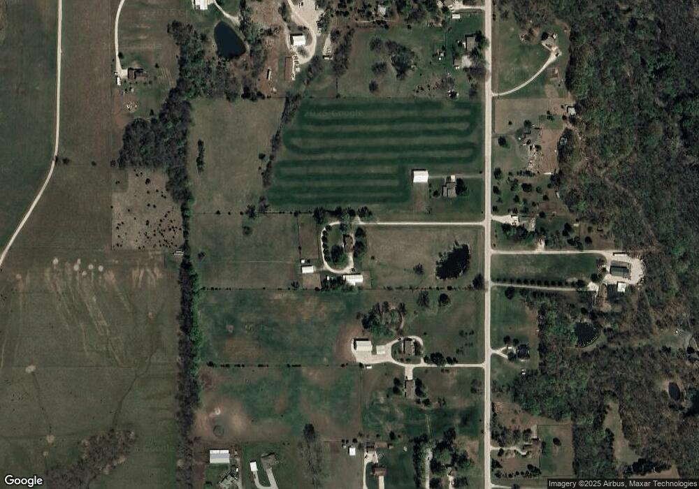
Map
Nearby Homes
- 17758 Red Bird St
- 0 W 207th St Unit 2425721
- 21411 Deer Ridge Dr
- 21350 Deer Ridge Dr
- 25987 W 215th St
- 24200 W 199th St
- W 199th St
- 000 W 199th St 25 Acres
- 0 169 Hwy Unit HMS2507540
- 21004 Millridge St
- 21743 Johnson Ct
- 21141 Millridge St
- 18913 Ocheltree St
- 109 N Harrison St
- 501 N Franklin St
- 510 W Smith St
- 514 W Lawrence Ave
- 515 W Smith St
- 511 W Smith St
- 513 W Smith St
- 20870 S Clare Rd
- 20940 S Clare Rd
- 21000 S Clare Rd
- 24945 W 207th St
- 20975 S Clare Rd
- 24822 W 210th St
- 20825 S Clare Rd
- 24976 W 210th St
- 20760 S Clare Rd
- 24750 W 210th St
- 20925 S Clare Rd
- 25000 W 210th St
- 20730 S Clare Rd
- 21025 S Clare Rd
- 25133 W 207th St
- 20745 S Clare Rd
- 24997 W 210th St
- 24985 W 210th St
- 25015 W 210th St
- 24755 W 210th St