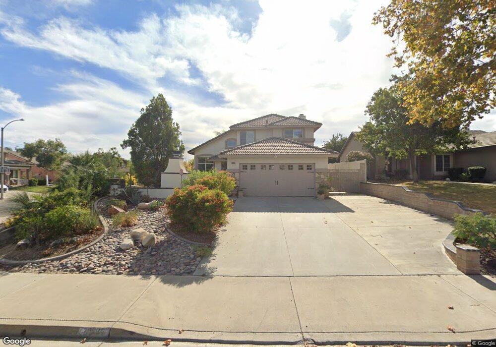
20895 Bayport Dr Riverside, CA 92508
Orangecrest NeighborhoodEstimated Value: $639,114 - $703,000
4
Beds
3
Baths
1,712
Sq Ft
$396/Sq Ft
Est. Value
About This Home
This home is located at 20895 Bayport Dr, Riverside, CA 92508 and is currently estimated at $677,779, approximately $395 per square foot. 20895 Bayport Dr is a home located in Riverside County with nearby schools including Tomas Rivera Elementary School, Amelia Earhart Middle School, and Martin Luther King Junior High School.
Ownership History
Date
Name
Owned For
Owner Type
Purchase Details
Closed on
Jan 17, 2012
Sold by
Singh Suendra and Singh Saroj Mati
Bought by
Singh Surendra and Singh Saroj Mati
Current Estimated Value
Purchase Details
Closed on
Oct 15, 1997
Sold by
Fieldstone Communities Inc
Bought by
Singh Surendra and Singh Saroj Mati
Home Financials for this Owner
Home Financials are based on the most recent Mortgage that was taken out on this home.
Original Mortgage
$135,088
Interest Rate
7.23%
Mortgage Type
FHA
Create a Home Valuation Report for This Property
The Home Valuation Report is an in-depth analysis detailing your home's value as well as a comparison with similar homes in the area
Home Values in the Area
Average Home Value in this Area
Purchase History
| Date | Buyer | Sale Price | Title Company |
|---|---|---|---|
| Singh Surendra | -- | None Available | |
| Singh Surendra | $137,000 | Lawyers Title Company |
Source: Public Records
Mortgage History
| Date | Status | Borrower | Loan Amount |
|---|---|---|---|
| Previous Owner | Singh Surendra | $135,088 |
Source: Public Records
Tax History Compared to Growth
Tax History
| Year | Tax Paid | Tax Assessment Tax Assessment Total Assessment is a certain percentage of the fair market value that is determined by local assessors to be the total taxable value of land and additions on the property. | Land | Improvement |
|---|---|---|---|---|
| 2025 | $2,428 | $220,094 | $55,864 | $164,230 |
| 2023 | $2,428 | $211,549 | $53,696 | $157,853 |
| 2022 | $2,373 | $207,402 | $52,644 | $154,758 |
| 2021 | $2,353 | $203,336 | $51,612 | $151,724 |
| 2020 | $2,335 | $201,252 | $51,083 | $150,169 |
| 2019 | $2,292 | $197,307 | $50,082 | $147,225 |
| 2018 | $2,248 | $193,439 | $49,101 | $144,338 |
| 2017 | $2,317 | $189,647 | $48,139 | $141,508 |
| 2016 | $2,225 | $185,930 | $47,196 | $138,734 |
| 2015 | $2,204 | $183,139 | $46,488 | $136,651 |
| 2014 | $2,212 | $179,553 | $45,578 | $133,975 |
Source: Public Records
Map
Nearby Homes
- 8518 Yarrow Ln
- 20858 Bakal Dr
- 20895 Parish Place
- 20890 Westbury Rd
- 20681 Stony Brook Cir
- 20611 Bakal Dr
- 20800 Indigo Point
- 20425 Tobira Ln
- 20642 Iris Canyon Rd
- 8309 Clover Creek Rd
- 20241 Edmund Rd
- 8751 Rosebay Ct
- 8962 Morning Hills Dr
- 8873 Gumtree Ln
- 20101 Sedona Dr
- 0 Barton St
- 19728 Rotterdam St
- 19883 San Juan Capistrano Ct
- 19458 Hebron Ct
- 0 Old Frontage Rd Unit OC25137111
- 20850 Hillsdale Rd
- 20879 Bayport Dr
- 8664 De Loss Dr
- 8654 De Loss Dr
- 20836 Hillsdale Rd
- 8674 De Loss Dr
- 20871 Bayport Dr
- 8644 De Loss Dr
- 20896 Bayport Dr
- 20888 Bayport Dr
- 8684 De Loss Dr
- 20830 Hillsdale Rd
- 20880 Bayport Dr
- 8634 De Loss Dr
- 20863 Bayport Dr
- 20872 Bayport Dr
- 20824 Hillsdale Rd
- 8622 De Loss Dr
- 8665 Orchard Park Dr
- 8655 Orchard Park Dr