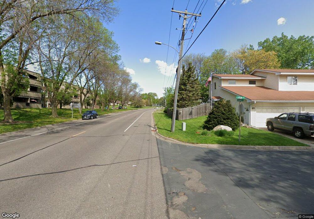
209 Logan Ave W Saint Paul, MN 55118
Estimated Value: $328,000 - $399,000
2
Beds
2
Baths
1,356
Sq Ft
$268/Sq Ft
Est. Value
About This Home
This home is located at 209 Logan Ave W, Saint Paul, MN 55118 and is currently estimated at $363,542, approximately $268 per square foot. 209 Logan Ave W is a home located in Dakota County with nearby schools including Moreland Arts & Health Sciences Magnet School, Heritage E-STEM Magnet School, and Two Rivers High School.
Ownership History
Date
Name
Owned For
Owner Type
Purchase Details
Closed on
Sep 25, 2015
Sold by
Gerdes Delbert W
Bought by
Dennis Mary G L
Current Estimated Value
Home Financials for this Owner
Home Financials are based on the most recent Mortgage that was taken out on this home.
Original Mortgage
$111,000
Interest Rate
3.74%
Mortgage Type
New Conventional
Purchase Details
Closed on
Aug 18, 2000
Sold by
Snyder Robert J
Bought by
Gerdes Delbert W
Create a Home Valuation Report for This Property
The Home Valuation Report is an in-depth analysis detailing your home's value as well as a comparison with similar homes in the area
Home Values in the Area
Average Home Value in this Area
Purchase History
| Date | Buyer | Sale Price | Title Company |
|---|---|---|---|
| Dennis Mary G L | $222,000 | Home Title | |
| Gerdes Delbert W | $139,500 | -- |
Source: Public Records
Mortgage History
| Date | Status | Borrower | Loan Amount |
|---|---|---|---|
| Previous Owner | Dennis Mary G L | $111,000 |
Source: Public Records
Tax History Compared to Growth
Tax History
| Year | Tax Paid | Tax Assessment Tax Assessment Total Assessment is a certain percentage of the fair market value that is determined by local assessors to be the total taxable value of land and additions on the property. | Land | Improvement |
|---|---|---|---|---|
| 2024 | $3,762 | $305,500 | $78,200 | $227,300 |
| 2023 | $3,762 | $311,500 | $82,900 | $228,600 |
| 2022 | $3,372 | $305,600 | $82,600 | $223,000 |
| 2021 | $3,308 | $267,200 | $71,800 | $195,400 |
| 2020 | $3,254 | $260,900 | $68,400 | $192,500 |
| 2019 | $3,001 | $250,300 | $65,100 | $185,200 |
| 2018 | $2,891 | $223,200 | $60,900 | $162,300 |
| 2017 | $2,661 | $224,000 | $58,000 | $166,000 |
| 2016 | $2,569 | $200,900 | $52,700 | $148,200 |
| 2015 | $2,555 | $175,310 | $46,480 | $128,830 |
| 2014 | -- | $168,770 | $42,862 | $125,908 |
| 2013 | -- | $152,529 | $38,811 | $113,718 |
Source: Public Records
Map
Nearby Homes
- 63 Langer Cir
- 158 Southwind Ln
- 69 Langer Cir
- 111 Imperial Dr W Unit 102
- 100 Imperial Dr W Unit 204
- 280 Edith Dr
- 1450 Bidwell St Unit 110
- 1277 Hall Ave
- 1384 Smith Ave S
- 242 Butler Ave W
- 389 Edith Dr
- 1220 Stryker Ave
- 1062 Ohio St
- 1513 Smith Ave S
- 69 Amelia Ave
- 1084 Hall Ave
- 170 Wentworth Ave W Unit F
- 1620 Charlton St Unit 109
- 1016 Bidwell St
- 180 Wentworth Ave W Unit E
- 215 Logan Ave W
- 205 Logan Ave W
- 219 Logan Ave W
- 210 210 Logan-Avenue-w
- 1273 Allen Ave
- 225 Logan Ave W
- 185 Logan Ave W
- 194 Southwind Ln
- 1272 Harmon Ct
- 1268 Harmon Ct
- 210 Logan Ave W
- 1267 Allen Ave
- 210 Logan Ave W
- 229 Logan Ave W
- 218 Logan Ave W
- 186 Southwind Ln
- 190 Logan Ave W
- 1262 Harmon Ct
- 224 Logan Ave W
- 183 Logan Ave W