209 Maxwell Dr SW Shellsburg, IA 52332
Estimated Value: $281,030 - $348,000
3
Beds
5
Baths
2,197
Sq Ft
$143/Sq Ft
Est. Value
About This Home
This home is located at 209 Maxwell Dr SW, Shellsburg, IA 52332 and is currently estimated at $314,008, approximately $142 per square foot. 209 Maxwell Dr SW is a home located in Benton County with nearby schools including Shellsburg Elementary School, Vinton-Shellsburg Middle School, and Vinton-Shellsburg High School.
Ownership History
Date
Name
Owned For
Owner Type
Purchase Details
Closed on
Sep 1, 2007
Sold by
Canaday David A and Mcclain Julie K
Bought by
Mcclain Brian G and Mcclain Angela K
Current Estimated Value
Home Financials for this Owner
Home Financials are based on the most recent Mortgage that was taken out on this home.
Original Mortgage
$157,600
Outstanding Balance
$100,495
Interest Rate
6.71%
Mortgage Type
New Conventional
Estimated Equity
$213,513
Create a Home Valuation Report for This Property
The Home Valuation Report is an in-depth analysis detailing your home's value as well as a comparison with similar homes in the area
Purchase History
| Date | Buyer | Sale Price | Title Company |
|---|---|---|---|
| Mcclain Brian G | $197,000 | None Available |
Source: Public Records
Mortgage History
| Date | Status | Borrower | Loan Amount |
|---|---|---|---|
| Open | Mcclain Brian G | $157,600 |
Source: Public Records
Tax History
| Year | Tax Paid | Tax Assessment Tax Assessment Total Assessment is a certain percentage of the fair market value that is determined by local assessors to be the total taxable value of land and additions on the property. | Land | Improvement |
|---|---|---|---|---|
| 2025 | $4,082 | $269,700 | $33,200 | $236,500 |
| 2024 | $4,082 | $243,100 | $32,400 | $210,700 |
| 2023 | $4,088 | $243,100 | $32,400 | $210,700 |
| 2022 | $4,036 | $214,500 | $25,900 | $188,600 |
| 2021 | $4,036 | $214,500 | $25,900 | $188,600 |
| 2020 | $3,702 | $195,100 | $24,200 | $170,900 |
| 2019 | $3,640 | $195,100 | $24,200 | $170,900 |
| 2018 | $3,668 | $192,100 | $22,500 | $169,600 |
| 2017 | $3,668 | $192,100 | $22,500 | $169,600 |
| 2016 | $3,636 | $184,700 | $21,600 | $163,100 |
| 2015 | $3,636 | $184,700 | $21,600 | $163,100 |
| 2014 | $3,898 | $197,600 | $0 | $0 |
Source: Public Records
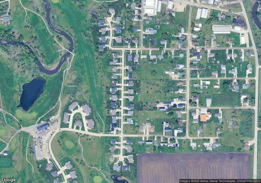
Map
Nearby Homes
- 301 Wildcat Ct
- 700 Sunset Blvd
- 401 Main St NW
- 201 Grove St NW
- 804 Fairway Dr
- 105 Meadow Dr
- 103 Meadow Dr
- 101 Meadow Dr
- 208 Northgate St NW
- 6240 33rd Avenue Dr
- 0 31st Ave
- 2573 Linn Benton Rd
- 0 Benton Linn Rd
- 926 Indigo Dr
- 736 Indigo Dr
- 827 Indigo Dr
- Lots 223 & 224 Juneberry Dr
- Lots 225 & 226 Juneberry Dr
- Lots 217 & 218 Juneberry Dr
- 225 Sumac Dr
- 211 Maxwell Dr SW
- 207 Maxwell Dr SW
- 205 Maxwell Dr SW
- 213 Maxwell Dr SW
- 210 Maxwell Dr SW
- 0 Maxwell Dr
- 212 Maxwell Dr SW
- 208 Maxwell Dr SW
- 215 Maxwell Dr SW
- 214 Maxwell Dr SW
- 206 Maxwell Dr SW
- 216 Maxwell Dr SW
- 204 Maxwell Dr SW
- 217 Maxwell Dr SW
- 300 Johnson St SW
- 201 Maxwell Dr SW
- 218 Maxwell Dr SW
- 202 Maxwell Dr SW
- 212 Johnson St SW
- 211 Autumn St SW
Your Personal Tour Guide
Ask me questions while you tour the home.