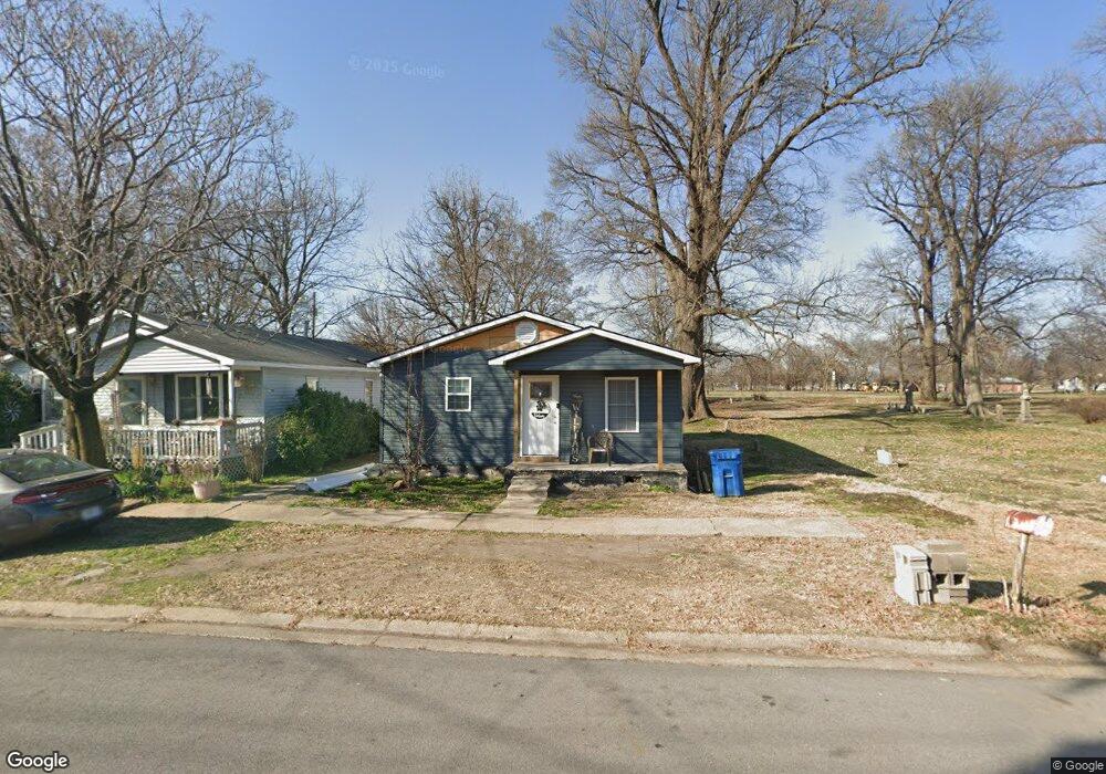
209 Missouri Ave New Madrid, MO 63869
Estimated Value: $56,000 - $154,000
2
Beds
1
Bath
861
Sq Ft
$104/Sq Ft
Est. Value
About This Home
This home is located at 209 Missouri Ave, New Madrid, MO 63869 and is currently estimated at $89,470, approximately $103 per square foot. 209 Missouri Ave is a home located in New Madrid County with nearby schools including Central High School and Immaculate Conception School.
Ownership History
Date
Name
Owned For
Owner Type
Purchase Details
Closed on
Jun 15, 2021
Sold by
Ellis Family Properties Llc
Bought by
Sam Thomas Rental Houses Llc
Current Estimated Value
Purchase Details
Closed on
Mar 26, 2013
Sold by
Federal National Mortgage Association
Bought by
Riverside Drive Enterprises Llc
Purchase Details
Closed on
Jan 24, 2012
Sold by
Reveerse Mortgage Solutions Inc
Bought by
Federal National Mortgage Association
Create a Home Valuation Report for This Property
The Home Valuation Report is an in-depth analysis detailing your home's value as well as a comparison with similar homes in the area
Home Values in the Area
Average Home Value in this Area
Purchase History
| Date | Buyer | Sale Price | Title Company |
|---|---|---|---|
| Sam Thomas Rental Houses Llc | -- | Old Republic Title | |
| Riverside Drive Enterprises Llc | -- | None Available | |
| Federal National Mortgage Association | -- | None Available |
Source: Public Records
Tax History Compared to Growth
Tax History
| Year | Tax Paid | Tax Assessment Tax Assessment Total Assessment is a certain percentage of the fair market value that is determined by local assessors to be the total taxable value of land and additions on the property. | Land | Improvement |
|---|---|---|---|---|
| 2024 | $253 | $4,700 | $300 | $4,400 |
| 2023 | $254 | $4,700 | $0 | $0 |
| 2022 | $237 | $4,400 | $300 | $4,100 |
| 2021 | $237 | $4,400 | $0 | $0 |
| 2020 | $228 | $4,400 | $0 | $0 |
| 2019 | $228 | $4,200 | $300 | $3,900 |
| 2018 | $219 | $4,050 | $0 | $0 |
| 2017 | $217 | $4,050 | $0 | $0 |
| 2016 | -- | $4,050 | $0 | $0 |
| 2015 | -- | $4,050 | $0 | $0 |
| 2014 | -- | $4,050 | $0 | $0 |
| 2011 | -- | $0 | $0 | $0 |
Source: Public Records
Map
Nearby Homes
- 950 2nd St
- 470 Saint Paul Dr
- 22 Greenbriar Dr
- 340 Semo Dr
- 101 Saint Matthew Ln
- 731 Davis St
- 402 Waters St
- 931 Davis St
- 0 Highway P Unit MIS25062383
- I-55 S Outer Rd
- 202 S Lewis St
- 954 Highway Hh
- 1608 County Road 711
- 8 Mississippi Island
- 209 Kell Rd
- 0 County Road 714
- 506 W Main St
- 102 N Davis St
- 100 Summit St
- 17 Cardinal Ln
- 217 Missouri Ave
- 250 Dawson Rd
- 249 Dawson Rd
- 212 Missouri Ave
- 202 Missouri Ave
- 950 Brush Prairie Rd
- 300 Dawson Rd
- 948 Brush Prairie Rd
- 946 Brush Prairie Rd
- 919 Brush Prairie Rd
- 917 Brush Prairie Rd
- 915 Brush Prairie Rd
- 913 Brush Prairie Rd
- 944 Brush Prairie Rd
- 925 2nd St
- 211 Tennessee Ave
- 930 2nd St
- 207 Tennessee Ave
- 314 Missouri Ave
- 205 Tennessee Ave