209 St Ives Rd Charlottesville, VA 22911
Piney Mountain NeighborhoodEstimated Value: $338,000 - $391,000
4
Beds
3
Baths
1,190
Sq Ft
$310/Sq Ft
Est. Value
About This Home
This home is located at 209 St Ives Rd, Charlottesville, VA 22911 and is currently estimated at $369,386, approximately $310 per square foot. 209 St Ives Rd is a home located in Albemarle County with nearby schools including Baker-Butler Elementary School, Lakeside Middle School, and Albemarle High School.
Ownership History
Date
Name
Owned For
Owner Type
Purchase Details
Closed on
Apr 9, 2018
Sold by
Craddock Raymond E and Craddock Ann B
Bought by
Maharjan Dipesh and Mulmi Sami
Current Estimated Value
Home Financials for this Owner
Home Financials are based on the most recent Mortgage that was taken out on this home.
Original Mortgage
$210,123
Outstanding Balance
$181,451
Interest Rate
4.62%
Mortgage Type
FHA
Estimated Equity
$187,935
Create a Home Valuation Report for This Property
The Home Valuation Report is an in-depth analysis detailing your home's value as well as a comparison with similar homes in the area
Home Values in the Area
Average Home Value in this Area
Purchase History
| Date | Buyer | Sale Price | Title Company |
|---|---|---|---|
| Maharjan Dipesh | $214,000 | Chicago Title Insurance Co |
Source: Public Records
Mortgage History
| Date | Status | Borrower | Loan Amount |
|---|---|---|---|
| Open | Maharjan Dipesh | $210,123 |
Source: Public Records
Tax History
| Year | Tax Paid | Tax Assessment Tax Assessment Total Assessment is a certain percentage of the fair market value that is determined by local assessors to be the total taxable value of land and additions on the property. | Land | Improvement |
|---|---|---|---|---|
| 2025 | $3,015 | $337,200 | $74,500 | $262,700 |
| 2024 | -- | $301,100 | $83,300 | $217,800 |
| 2023 | $2,836 | $332,100 | $83,300 | $248,800 |
| 2022 | $2,330 | $272,800 | $80,900 | $191,900 |
| 2021 | $2,139 | $250,500 | $80,900 | $169,600 |
| 2020 | $2,077 | $243,200 | $83,300 | $159,900 |
| 2019 | $1,826 | $213,800 | $68,600 | $145,200 |
| 2018 | $730 | $174,000 | $68,600 | $105,400 |
| 2017 | $1,441 | $171,800 | $58,800 | $113,000 |
| 2016 | $1,483 | $176,800 | $58,800 | $118,000 |
| 2015 | $679 | $165,800 | $58,800 | $107,000 |
| 2014 | -- | $164,500 | $58,800 | $105,700 |
Source: Public Records
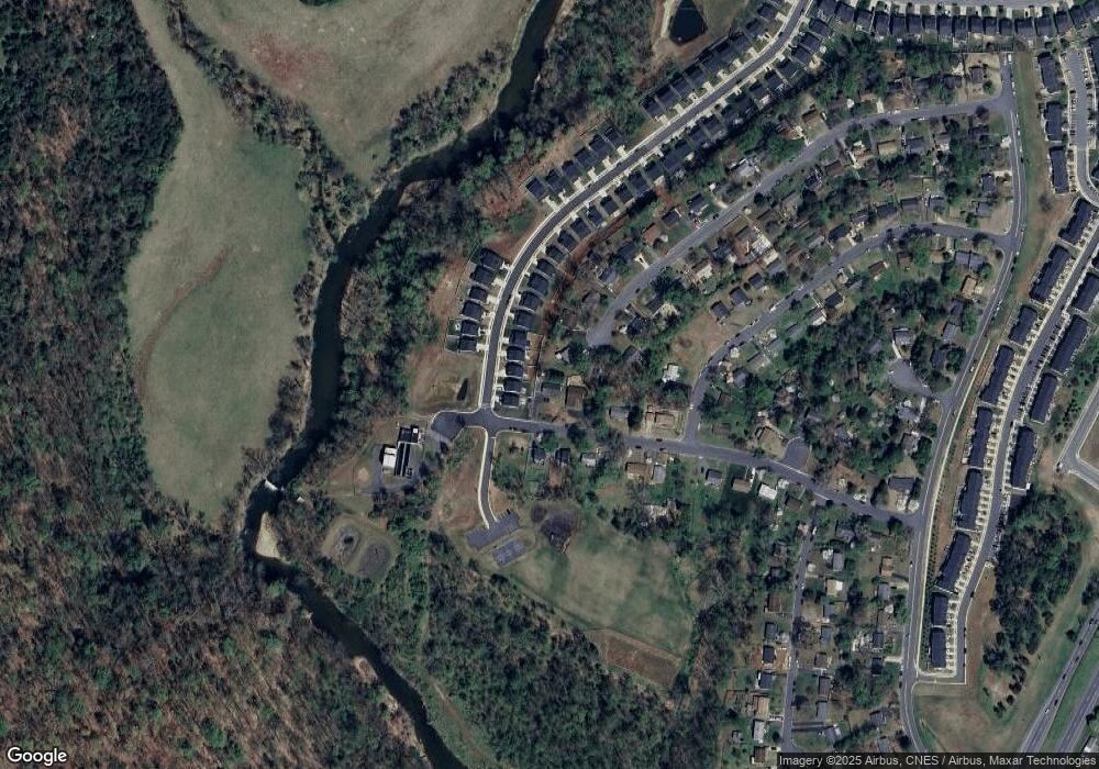
Map
Nearby Homes
- TBD Barnsdale Rd
- TBD28 Barnsdale Rd Unit 28
- TBD28 Barnsdale Rd
- TBD27 Barnsdale Rd Unit 27
- TBD27 Barnsdale Rd
- TBD Barnsdale Rd Unit 3, 27, 28
- 4340 Sunset Dr
- 4364 Sunset Dr
- TBD3 Camelot Dr Unit 3
- TBD3 Camelot Dr
- 2064 Elm Tree Ct
- 4710 Dickerson Rd
- 2308 Jersey Pine Ridge
- 4632 Briarwood Dr
- 824 Wesley Ln Unit B
- 4654 Briarwood Dr
- 2364 Whitney Ct
- 2319 Finch Ct
- 2448 Whitney Ct
- 2328 Austin Dr
- 209 Saint Ives Rd
- 207 Saint Ives Rd
- 207 St Ives Rd
- 536 Jester Ln
- 4298 Sunset Dr
- 210 Saint Ives Rd
- 533 Jester Ln
- 210 St Ives Rd
- 208 St Ives Rd
- 208 Saint Ives Rd
- 205 Saint Ives Rd
- 534 Jester Ln
- 205 St Ives Rd
- 206 Saint Ives Rd
- 206 St Ives Rd
- 531 Jester Ln
- 4303 Sunset Dr
- 204 St Ives Rd
- 204 Saint Ives Rd
- 4309 Sunset Dr
Your Personal Tour Guide
Ask me questions while you tour the home.