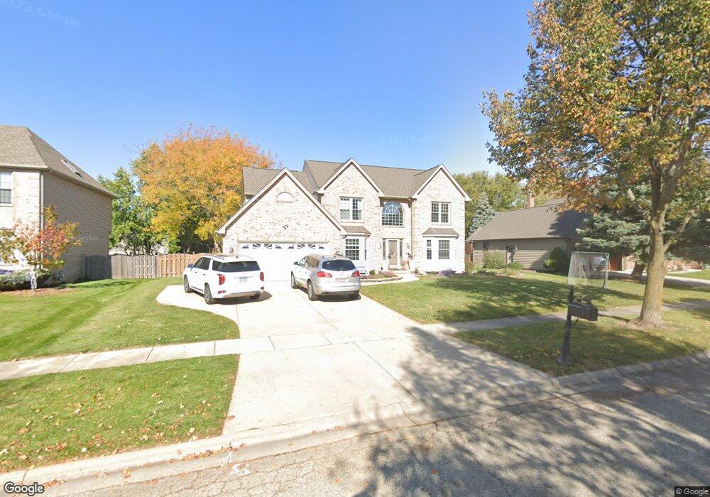
2090 Carlisle St Algonquin, IL 60102
Estimated Value: $494,000 - $538,000
4
Beds
3
Baths
3,000
Sq Ft
$175/Sq Ft
Est. Value
About This Home
This home is located at 2090 Carlisle St, Algonquin, IL 60102 and is currently estimated at $523,783, approximately $174 per square foot. 2090 Carlisle St is a home located in McHenry County with nearby schools including Westfield Community School, Kenneth E Neubert Elementary School, and Harry D Jacobs High School.
Ownership History
Date
Name
Owned For
Owner Type
Purchase Details
Closed on
Mar 25, 2020
Sold by
Meyers Jeffrey R
Bought by
Bergstrom Garrell and Bergstrom Rebecca
Current Estimated Value
Home Financials for this Owner
Home Financials are based on the most recent Mortgage that was taken out on this home.
Original Mortgage
$342,602
Outstanding Balance
$302,260
Interest Rate
3.3%
Mortgage Type
VA
Estimated Equity
$221,523
Create a Home Valuation Report for This Property
The Home Valuation Report is an in-depth analysis detailing your home's value as well as a comparison with similar homes in the area
Purchase History
We collect this data history from publicly available records. To have your information removed, we recommend requesting removal directly through your county’s website.
| Date | Buyer | Sale Price | Title Company |
|---|---|---|---|
| Bergstrom Garrell | $335,000 | Attorney |
Source: Public Records
Mortgage History
We collect this data history from publicly available records. To have your information removed, we recommend requesting removal directly through your county’s website.
| Date | Status | Borrower | Loan Amount |
|---|---|---|---|
| Open | Bergstrom Garrell | $342,602 |
Source: Public Records
Tax History
| Year | Tax Paid | Tax Assessment Tax Assessment Total Assessment is a certain percentage of the fair market value that is determined by local assessors to be the total taxable value of land and additions on the property. | Land | Improvement |
|---|---|---|---|---|
| 2024 | -- | $163,190 | $30,040 | $133,150 |
| 2023 | $11,130 | $145,953 | $26,867 | $119,086 |
| 2022 | $10,486 | $128,273 | $35,487 | $92,786 |
| 2021 | $10,071 | $119,501 | $33,060 | $86,441 |
| 2020 | $9,812 | $115,271 | $31,890 | $83,381 |
| 2019 | $9,580 | $110,329 | $30,523 | $79,806 |
| 2018 | $9,143 | $101,921 | $28,197 | $73,724 |
| 2017 | $8,964 | $96,016 | $26,563 | $69,453 |
| 2016 | $8,839 | $90,055 | $24,914 | $65,141 |
| 2013 | -- | $85,680 | $23,242 | $62,438 |
Source: Public Records
Map
Nearby Homes
- 2161 Burnham Ct
- 2067 Peach Tree Ln Unit 4115
- 2117 Peach Tree Ln Unit 4084
- 2110 Peach Tree Ln
- 1713 Edgewood Dr
- 1721 Waverly Ln
- 1148 Sawmill Ln
- 2004 Waverly Ln Unit 4292
- 750 Majestic Dr
- 761 Majestic Dr
- 811 Westbury Dr
- 1181 Glenmont St
- 621 Kirkland Dr
- 1071 Glenmont St
- 731 Roaring Brook Ln
- 2616 Christie Dr Unit 1
- 1203 Glenmont St
- 14 Hampton Ct
- 1030 Glenmont St
- 1221 Glenmont St
- 2090 Carlisle St
- 2070 Carlisle St
- 2070 Carlisle St
- 2110 Carlisle St
- 2051 Tunbridge Trail
- 2041 Tunbridge Trail
- 2041 Tunbridge Trail
- 2050 Carlisle St
- 2061 Tunbridge Trail
- 2111 Carlisle St
- 1370 Carlisle St
- 2091 Carlisle St
- 2031 Tunbridge Trail
- 2071 Tunbridge Trail
- 1425 Carlisle St
- 2030 Carlisle St
- 2071 Carlisle St
- 2021 Tunbridge Trail
- 2090 Burnham Ct
- 1380 Carlisle St
Your Personal Tour Guide
Ask me questions while you tour the home.