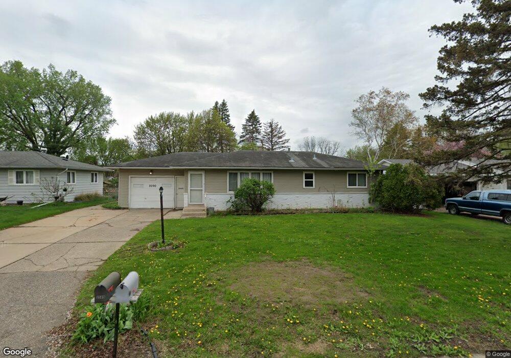
2090 Jade Ln Saint Paul, MN 55122
Estimated Value: $346,000 - $695,000
3
Beds
2
Baths
1,144
Sq Ft
$391/Sq Ft
Est. Value
About This Home
This home is located at 2090 Jade Ln, Saint Paul, MN 55122 and is currently estimated at $447,853, approximately $391 per square foot. 2090 Jade Ln is a home located in Dakota County with nearby schools including Burnsville High School, Gateway STEM Academy, and Sunrise International Montessori School.
Ownership History
Date
Name
Owned For
Owner Type
Purchase Details
Closed on
Nov 3, 2015
Sold by
Hentges Christopher Michael and Hentges Michelle
Bought by
Landsman Michael Albert and Landsman Sarah Marie
Current Estimated Value
Home Financials for this Owner
Home Financials are based on the most recent Mortgage that was taken out on this home.
Original Mortgage
$166,250
Interest Rate
3.93%
Mortgage Type
New Conventional
Purchase Details
Closed on
Mar 18, 2010
Sold by
Velazquez Ceasar and Velazquez Ortencia
Bought by
Hentges Christopher Michael and Hentges Michelle
Home Financials for this Owner
Home Financials are based on the most recent Mortgage that was taken out on this home.
Original Mortgage
$168,547
Interest Rate
5%
Mortgage Type
VA
Purchase Details
Closed on
Jul 31, 2003
Sold by
Wernstein Roger D and Wernstein Gladys I
Bought by
Velasquez Cesar
Create a Home Valuation Report for This Property
The Home Valuation Report is an in-depth analysis detailing your home's value as well as a comparison with similar homes in the area
Home Values in the Area
Average Home Value in this Area
Purchase History
| Date | Buyer | Sale Price | Title Company |
|---|---|---|---|
| Landsman Michael Albert | $175,000 | Executive Title | |
| Hentges Christopher Michael | $165,000 | Burnet Title | |
| Velasquez Cesar | $200,500 | -- |
Source: Public Records
Mortgage History
| Date | Status | Borrower | Loan Amount |
|---|---|---|---|
| Previous Owner | Landsman Michael Albert | $166,250 | |
| Previous Owner | Hentges Christopher Michael | $168,547 |
Source: Public Records
Tax History Compared to Growth
Tax History
| Year | Tax Paid | Tax Assessment Tax Assessment Total Assessment is a certain percentage of the fair market value that is determined by local assessors to be the total taxable value of land and additions on the property. | Land | Improvement |
|---|---|---|---|---|
| 2024 | $3,298 | $345,400 | $77,500 | $267,900 |
| 2023 | $3,298 | $350,500 | $77,700 | $272,800 |
| 2022 | $2,828 | $336,800 | $77,500 | $259,300 |
| 2021 | $2,904 | $290,600 | $67,100 | $223,500 |
| 2020 | $3,014 | $268,000 | $63,900 | $204,100 |
| 2019 | $3,000 | $267,300 | $60,800 | $206,500 |
| 2018 | $2,761 | $255,300 | $58,000 | $197,300 |
| 2017 | $2,608 | $226,600 | $55,200 | $171,400 |
| 2016 | $2,374 | $213,300 | $52,600 | $160,700 |
| 2015 | $2,221 | $182,177 | $47,603 | $134,574 |
| 2014 | -- | $176,400 | $45,990 | $130,410 |
| 2013 | -- | $147,079 | $40,358 | $106,721 |
Source: Public Records
Map
Nearby Homes
- 2074 Carnelian Ln
- 2070 Flint Dr
- 2079 Coral Ln
- 4110 Rahn Rd Unit 315
- 4110 Rahn Rd Unit 312
- 4110 Rahn Rd Unit 215
- 2014 Diffley Rd
- 4130 Rahn Rd Unit B308
- 4130 Rahn Rd Unit B311
- 4130 Rahn Rd Unit 209
- 3973 Beryl Rd
- 1928 Turquoise Trail
- 1936 Glenfield Ct Unit 22
- 4155 Durham Ct Unit 61
- 1928 Glenfield Ct Unit 14
- 1949 N Ruby Ct
- 4165 Old Sibley Hwy
- 1924 Sapphire Point Unit 97
- 1949 Beaver Dam Ct
- 1914 Sapphire Point Unit 102